
Fitxer:Gambia Map.png

Mida d'aquesta previsualització: 500 × 599 píxels. Altres resolucions: 200 × 240 píxels | 400 × 480 píxels | 1.006 × 1.206 píxels.
Fitxer original (1.006 × 1.206 píxels, mida del fitxer: 228 Ko, tipus MIME: image/png)
| Aquest fitxer i la informació mostrada a continuació provenen del dipòsit multimèdia lliure Wikimedia Commons. |
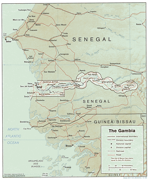
| Descripció | Shaded relief map of The Gambia. | |||
| Data | ||||
| Font | [1] from the Perry-Castañeda Library Map Collection. | |||
| Autor | CIA | |||
| Permís (Com reutilitzar aquest fitxer) |
|

![[1]](http://www.lib.utexas.edu/maps/africa/gambia.gif)
Historial del fitxer
Cliqueu una data/hora per veure el fitxer tal com era aleshores.
| Data/hora | Miniatura | Dimensions | Usuari/a | Comentari | |
|---|---|---|---|---|---|
| actual | 15:03, 22 feb 2006 | | 1.006 × 1.206 (228 Ko) | Lupo | Shaded relief map of The Gambia. Source: [http://www.lib.utexas.edu/maps/africa/gambia.gif] from the [http://www.lib.utexas.edu/maps/gambia.html Perry-Castañeda Library Map Collection]. {{PD-USGov-CIA}} Category:Maps of the Gambia |
Ús del fitxer
La pàgina següent utilitza aquest fitxer:
Ús global del fitxer
Utilització d'aquest fitxer en altres wikis:
- Utilització a ast.wikipedia.org
- Utilització a en.wikipedia.org
- Utilització a es.wikipedia.org
- Utilització a fr.wikipedia.org
- Utilització a hr.wiktionary.org
- Utilització a mt.wikipedia.org
- Utilització a tl.wikipedia.org
- Utilització a uk.wikipedia.org
- Utilització a vi.wikipedia.org