
Fitxer:Ghurids1200.png
Mida d'aquesta previsualització: 800 × 467 píxels. Altres resolucions: 320 × 187 píxels | 640 × 373 píxels | 1.024 × 597 píxels | 1.644 × 959 píxels.
Fitxer original (1.644 × 959 píxels, mida del fitxer: 28 Ko, tipus MIME: image/png)
| Aquest fitxer i la informació mostrada a continuació provenen del dipòsit multimèdia lliure Wikimedia Commons. |
Resum
| Descripció |
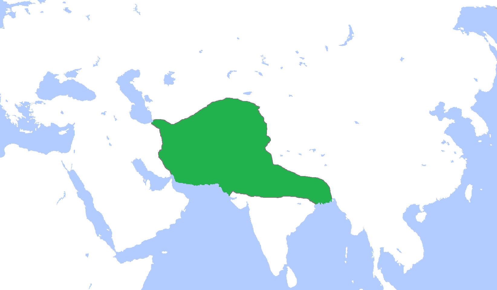
English: Locator map of the Ghurid Empire, c. 1200.
(Partially based on Atlas of World History (2007) - The World 1000-1200, map) |
| Data | |
| Font | Treball propi |
| Autor | Gabagool |
Llicència
Jo, el titular dels drets d'autor d'aquest treball, el public sota la següent llicència:
Aquest fitxer està subjecte a la llicència de Creative Commons Reconeixement 3.0 No adaptada.
- Sou lliure de:
- compartir – copiar, distribuir i comunicar públicament l'obra
- adaptar – fer-ne obres derivades
- Amb les condicions següents:
- reconeixement – Heu de donar la informació adequada sobre l'autor, proporcionar un enllaç a la llicència i indicar si s'han realitzat canvis. Podeu fer-ho amb qualsevol mitjà raonable, però de cap manera no suggereixi que l'autor us dóna suport o aprova l'ús que en feu.
Historial del fitxer
Cliqueu una data/hora per veure el fitxer tal com era aleshores.
| Data/hora | Miniatura | Dimensions | Usuari/a | Comentari | |
|---|---|---|---|---|---|
| actual | 18:06, 9 gen 2014 | | 1.644 × 959 (28 Ko) | HistoryofIran | Added the domains of the Bamiyan branch. |
| 17:35, 29 des 2013 |  | 1.644 × 959 (28 Ko) | HistoryofIran | Fixed. | |
| 14:00, 29 des 2013 |  | 1.644 × 959 (28 Ko) | HistoryofIran | Made the map more accurate. | |
| 14:57, 18 juny 2013 |  | 1.644 × 959 (28 Ko) | HistoryofIran | ||
| 17:32, 24 abr 2009 |  | 1.644 × 959 (53 Ko) | Gabagool | {{Information |Description={{en|1=Locator map of the Ghurid Empire, c. 1200. (Partially based on ''Atlas of World History'' (2007) - The World 1000-1200, map)}} |Source=Own work by uploader |Author=Gabagool / Jarle Grøhn |Date=2009-04- |
Ús del fitxer
Les 3 pàgines següents utilitzen aquest fitxer:
Ús global del fitxer
Utilització d'aquest fitxer en altres wikis:
- Utilització a ar.wikipedia.org
- الدولة الغزنوية
- غوريون
- نيسابور
- غزنة
- باميان
- ولاية غور
- محمد الغوري
- قالب:غوريون
- مستخدم:محمد رشاد ابوالنجا/Spread of Islam
- أبو علي بن محمد
- محمد بن سوري
- أمير سوري
- عباس بن شيت
- محمد بن عباس
- قطب الدين حسن
- عز الدين حسين
- سيف الدين سوري
- بهاء الدين سام الأول
- علاء الدين حسين
- غياث الدين محمد
- بهاء الدين سام الثالث
- غياث الدين محمود
- Utilització a arz.wikipedia.org
- Utilització a av.wikipedia.org
- Utilització a azb.wikipedia.org
- Utilització a az.wikipedia.org
- Utilització a ba.wikipedia.org
- Utilització a bn.wikipedia.org
- Utilització a ceb.wikipedia.org
- Utilització a cv.wikipedia.org
- Utilització a da.wikipedia.org
- Utilització a de.wikipedia.org
- Utilització a en.wikipedia.org
Vegeu més usos globals d'aquest fitxer.