
Fitxer:Bride baymap1946.jpg

Mida d'aquesta previsualització: 800 × 597 píxels. Altres resolucions: 320 × 239 píxels | 640 × 478 píxels | 1.024 × 764 píxels | 1.280 × 955 píxels | 2.581 × 1.926 píxels.
Fitxer original (2.581 × 1.926 píxels, mida del fitxer: 559 Ko, tipus MIME: image/jpeg)
| Aquest fitxer i la informació mostrada a continuació provenen del dipòsit multimèdia lliure Wikimedia Commons. |
Resum
| Descripció |
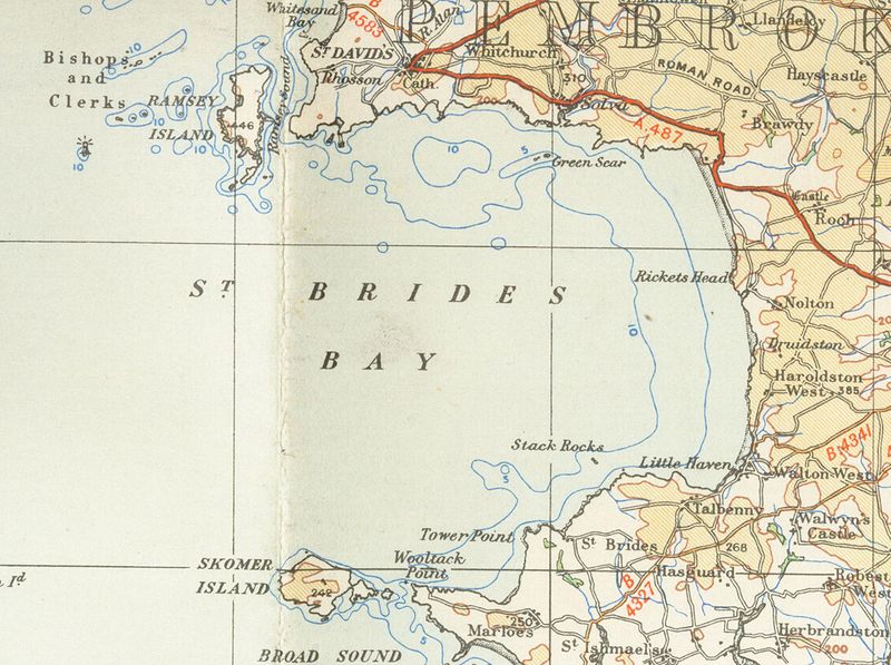
English: Old OS map from 1946 of Bride's_bay 1/4 inch to the mile |
| Data | 15 de gener de 2007 (original upload date) |
| Font | Transferred from en.wikipedia to Commons. |
| Autor | The original uploader was Geni de la Viquipèdia en anglès. |
Llicència
This work is an Ordnance Survey map over 50 years old, which is covered by Crown Copyright which in this case expires 50 years after publication. Ordnance Survey does however ask that they be credited and that the date of publication be given.
Any ancillary rights gained through the creation of the electronic version are granted as freely usable under any circumstances.
|
This work created by the United Kingdom Government is in the public domain.
This is because it is one of the following:
HMSO has declared that the expiry of Crown Copyrights applies worldwide (ref: HMSO Email Reply)
|
 |
Registre original de càrregues
La pàgina de descripció original era aquí. Els noms d'usuari a continuació es refereixen a en.wikipedia.
- 2007-01-15 18:42 Geni 2581×1926×8 (572027 bytes) Old OS map from 1946 of Bride's_bay 1/4 inch to the mile {{oldOS}}
Historial del fitxer
Cliqueu una data/hora per veure el fitxer tal com era aleshores.
| Data/hora | Miniatura | Dimensions | Usuari/a | Comentari | |
|---|---|---|---|---|---|
| actual | 20:09, 19 nov 2007 | | 2.581 × 1.926 (559 Ko) | Jordi Roqué | {{Information |Description={{en|Old OS map from 1946 of Bride's_bay 1/4 inch to the mile en:Category:Images of Pembrokeshire}} |Source=Originally from [http://en.wikipedia.org en.wikipedia]; description page is/was [http://en.wikipedia.org/w/index. |
Ús del fitxer
La pàgina següent utilitza aquest fitxer:
Ús global del fitxer
Utilització d'aquest fitxer en altres wikis:
- Utilització a en.wikipedia.org
- Utilització a eu.wikipedia.org
- Utilització a nn.wikipedia.org
- Utilització a www.wikidata.org