
Fitxer:Bridgend UK location map.svg

Mida d'aquesta previsualització PNG del fitxer SVG: 603 × 600 píxels. Altres resolucions: 241 × 240 píxels | 483 × 480 píxels | 772 × 768 píxels | 1.030 × 1.024 píxels | 2.059 × 2.048 píxels | 1.273 × 1.266 píxels.
Fitxer original (fitxer SVG, nominalment 1.273 × 1.266 píxels, mida del fitxer: 541 Ko)
| Aquest fitxer i la informació mostrada a continuació provenen del dipòsit multimèdia lliure Wikimedia Commons. |
| Descripció |
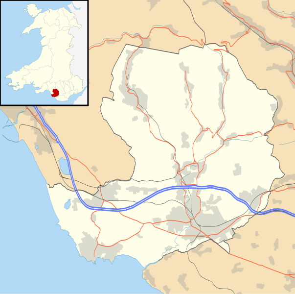
Blank map of Bridgend, UK with the following information shown:
Equirectangular map projection on WGS 84 datum, with N/S stretched 160% Geographic limits:
|
| Data | |
| Font |
|
| Autor | Nilfanion, created using Ordnance Survey data |
| Permís (Com reutilitzar aquest fitxer) |
Aquest fitxer està subjecte a la llicència de Creative Commons Reconeixement i Compartir Igual 3.0 No adaptada. Reconeixement: Contains Ordnance Survey data © Crown copyright and database right
|
| Altres versions | File:Bridgend UK map.svg - Blank map |
Historial del fitxer
Cliqueu una data/hora per veure el fitxer tal com era aleshores.
| Data/hora | Miniatura | Dimensions | Usuari/a | Comentari | |
|---|---|---|---|---|---|
| actual | 21:28, 26 set 2010 | | 1.273 × 1.266 (541 Ko) | Nilfanion | {{Information |Description=Blank map of Bridgend, UK with the following information shown: *Administrative borders *Coastline, lakes and rivers *Roads and railways *Urban areas Equirectangular map projection on WGS 84 datum, with N/S stret |
Ús del fitxer
No hi ha pàgines que utilitzin aquest fitxer.
Ús global del fitxer
Utilització d'aquest fitxer en altres wikis:
- Utilització a ar.wikipedia.org
- Utilització a ceb.wikipedia.org
- Utilització a cy.wikipedia.org
- Utilització a en.wikipedia.org
- List of monastic houses in Wales
- Bridgend
- Porthcawl
- Maesteg
- Bridgend County Borough
- Pencoed
- Llangynwyd
- Tondu
- Brackla
- Nottage
- Heol-y-Cyw
- Pyle
- Aberkenfig
- Sarn Park services
- Pontycymer
- Blaengarw
- Coychurch
- Newton, Porthcawl
- Glanrhyd Hospital
- Maesteg Community Hospital
- Princess of Wales Hospital
- Sarn, Bridgend
- Ogmore Vale
- Bettws, Bridgend
- Nant-y-moel
- Cwmfelin
- RAF Stormy Down
- Brynmenyn
- Cefn Cribwr
- Module:Location map/data/Wales Bridgend/doc
- St John the Baptist Church, Porthcawl
- Seabank Hotel
- Kenfig Hill
- Ynysawdre
- Wyndham, Bridgend
- List of Sites of Special Scientific Interest in Bridgend
- User:Wop48/sandbox
- Coity Higher
- Coity
- Laleston
- St Bride's Minor
- Newcastle Higher
- Coychurch Higher
- Coychurch Lower
- Bridgend (community)
- Llangynwyd Lower
- Llangynwyd Middle
Vegeu més usos globals d'aquest fitxer.