
Fitxer:California Map.PNG
No hi ha cap versió amb una resolució més gran.
California_Map.PNG (738 × 499 píxels, mida del fitxer: 83 Ko, tipus MIME: image/png)
| Aquest fitxer i la informació mostrada a continuació provenen del dipòsit multimèdia lliure Wikimedia Commons. |
Resum
| Descripció | |
| Data | |
| Font | |
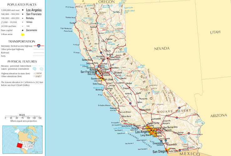
| Autor | National Atlas of the United States |
| Permís (Com reutilitzar aquest fitxer) |
Public domain |
Llicència
This map was obtained from an edition of the National Atlas of the United States. Like almost all works of the U.S. federal government, works from the National Atlas are in the public domain in the United States.
Online access: NationalAtlas.gov | 1970 print edition: Library of Congress, Perry-Castañeda Library
|
Historial del fitxer
Cliqueu una data/hora per veure el fitxer tal com era aleshores.
| Data/hora | Miniatura | Dimensions | Usuari/a | Comentari | |
|---|---|---|---|---|---|
| actual | 15:45, 10 jul 2011 | | 738 × 499 (83 Ko) | Quibik | Cropped the frame as it is not really necessary. |
| 14:14, 28 gen 2006 |  | 764 × 587 (95 Ko) | Severino666~commonswiki | Image from the National Atlas of the United States |
Ús del fitxer
La pàgina següent utilitza aquest fitxer:
Ús global del fitxer
Utilització d'aquest fitxer en altres wikis:
- Utilització a en.wikipedia.org
- Utilització a fr.wikipedia.org
- Utilització a he.wikivoyage.org
- Utilització a hr.wiktionary.org
- Utilització a mr.wikipedia.org