
Fitxer:Position of Northland.png
No hi ha cap versió amb una resolució més gran.
Position_of_Northland.png (405 × 590 píxels, mida del fitxer: 7 Ko, tipus MIME: image/png)
| Aquest fitxer i la informació mostrada a continuació provenen del dipòsit multimèdia lliure Wikimedia Commons. |

|
Aquesta imatge (de tipus locator map) s'hauria de tornar a crear utilitzant gràfics vectorials com ara un fitxer SVG. Això té diversos avantatges; en trobareu més informació a Commons:Media for cleanup. Si ja disposeu d'una versió d'aquesta imatge en format SVG, us preguem que la pengeu; després, reemplaceu aquesta plantilla amb la plantilla {{Vector version available|nom nou de la imatge.svg}} en aquesta imatge.
|
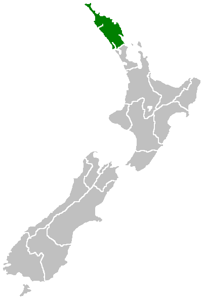
English: Region of New Zealand, position on the map (source:English Wiki)
| |
Aquesta imatge ha estat, o ho és d'ara endavant, alliberada al domini públic pel seu autor, Furius del projecte Wikimedia Commons. Això s'aplica a escala mundial. En cas que no sigui legalment possible: |
Historial del fitxer
Cliqueu una data/hora per veure el fitxer tal com era aleshores.
| Data/hora | Miniatura | Dimensions | Usuari/a | Comentari | |
|---|---|---|---|---|---|
| actual | 09:40, 27 abr 2005 | | 405 × 590 (7 Ko) | Domie~commonswiki | Region of New Zealand, position on the map (source:English Wiki) {{PD}} Category:Maps of New Zealand |
Ús del fitxer
No hi ha pàgines que utilitzin aquest fitxer.
Ús global del fitxer
Utilització d'aquest fitxer en altres wikis:
- Utilització a af.wikipedia.org
- Utilització a ceb.wikipedia.org
- Utilització a de.wikivoyage.org
- Utilització a en.wikipedia.org
- Horeke basalts
- Jellicoe Channel
- Cavalli Islands
- Cape Maria van Diemen
- Mount Hikurangi (Northland)
- Dargaville Aerodrome
- Aroha Island
- Aorangaia Island
- Araara Island
- Arakaninihi Island
- Template:Northland-geo-stub
- Maungataniwha Range
- Ngawha geothermal field
- Towai
- Taurikura
- Mount Manaia
- Omanaia
- Oromahoe
- Umawera
- Whangārei Falls
- Horahora, Whangārei
- Kokopu, New Zealand
- Titoki, New Zealand
- Pakotai
- Poroti
- Purua
- Tauraroa
- Rainbow Falls (Waianiwaniwa)
- Bulrush Lake (Northland)
- Half Mile Lagoon
- Lake Half
- Lake Humuhumu
- Lake Kahuparere
- Lake Kaiwai
- Lake Kanono
- Lake Kapoai
- Lake Karaka
- Lake Karoro / Mathews
- Lake Kihona
- Lake Manuwai
- Lake Mokeno
- Lake Morehurehu
- Lake Ngakapua
- Lake Ngakeketa
- Lake Ngatu
- Lake Ora
- Lake Otapuiti
Vegeu més usos globals d'aquest fitxer.