
Fitxer:USACE Depoe Bay Oregon.jpg

Mida d'aquesta previsualització: 800 × 528 píxels. Altres resolucions: 320 × 211 píxels | 640 × 422 píxels | 1.024 × 676 píxels | 1.500 × 990 píxels.
Fitxer original (1.500 × 990 píxels, mida del fitxer: 959 Ko, tipus MIME: image/jpeg)
| Aquest fitxer i la informació mostrada a continuació provenen del dipòsit multimèdia lliure Wikimedia Commons. |
| Descripció |
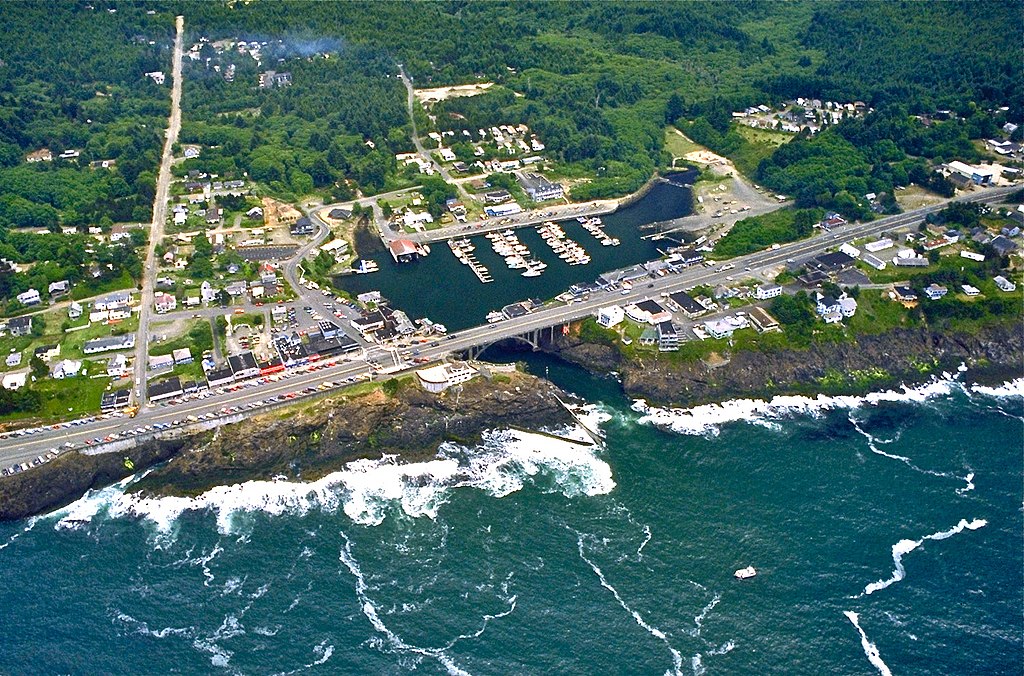
English: Aerial view of the harbor and center of Depoe Bay, Oregon, USA. |
|||
| Localització | Depoe Bay, Oregon, USA 44°48′33.61″N 124°3′38.08″W / 44.8093361°N 124.0605778°W |
|||
| Data | ||||
| Font |
U.S. Army Corp of Engineers Digital Visual Library Digital Visual Library home page Image page Image description page |
|||
| Autor | Bob Heims, U.S. Army Corps of Engineers | |||
| Permís (Com reutilitzar aquest fitxer) |
|
Historial del fitxer
Cliqueu una data/hora per veure el fitxer tal com era aleshores.
| Data/hora | Miniatura | Dimensions | Usuari/a | Comentari | |
|---|---|---|---|---|---|
| actual | 03:18, 24 maig 2012 | | 1.500 × 990 (959 Ko) | Ian Page | Colour-enhanced version of original file |
| 04:54, 16 abr 2007 |  | 1.500 × 990 (478 Ko) | DanMS | {{Information2 | Description = {{en|Aerial view of the harbor and center of Depoe Bay, Oregon, USA.}} | Source = U.S. Army Corp of Engineers Digital Visual Library<br />[http://images.usace.army.mil/Main.html Digital Visual Library home page]<br />[h |
Ús del fitxer
La pàgina següent utilitza aquest fitxer:
Ús global del fitxer
Utilització d'aquest fitxer en altres wikis:
- Utilització a ar.wikipedia.org
- Utilització a azb.wikipedia.org
- Utilització a bg.wikipedia.org
- Utilització a ceb.wikipedia.org
- Utilització a ce.wikipedia.org
- Utilització a cs.wikipedia.org
- Utilització a cy.wikipedia.org
- Utilització a de.wikipedia.org
- Utilització a en.wikipedia.org
- Utilització a en.wikivoyage.org
- Utilització a es.wikipedia.org
- Utilització a eu.wikipedia.org
- Utilització a fa.wikipedia.org
- Utilització a fi.wikipedia.org
- Utilització a fr.wikipedia.org
- Utilització a ht.wikipedia.org
- Utilització a hu.wikipedia.org
- Utilització a it.wikipedia.org
- Utilització a ky.wikipedia.org
- Utilització a lld.wikipedia.org
- Utilització a pl.wikipedia.org
- Utilització a pt.wikipedia.org
- Utilització a sh.wikipedia.org
- Utilització a sr.wikipedia.org
- Utilització a tt.wikipedia.org
- Utilització a uk.wikipedia.org
- Utilització a uz.wikipedia.org
- Utilització a www.wikidata.org
- Utilització a zh-min-nan.wikipedia.org