
Fitxer:Canada Saskatchewan location map.svg

Mida d'aquesta previsualització PNG del fitxer SVG: 486 × 599 píxels. Altres resolucions: 195 × 240 píxels | 389 × 480 píxels | 623 × 768 píxels | 831 × 1.024 píxels | 1.662 × 2.048 píxels | 1.512 × 1.863 píxels.
Fitxer original (fitxer SVG, nominalment 1.512 × 1.863 píxels, mida del fitxer: 720 Ko)
| Aquest fitxer i la informació mostrada a continuació provenen del dipòsit multimèdia lliure Wikimedia Commons. |
Resum
| Descripció |
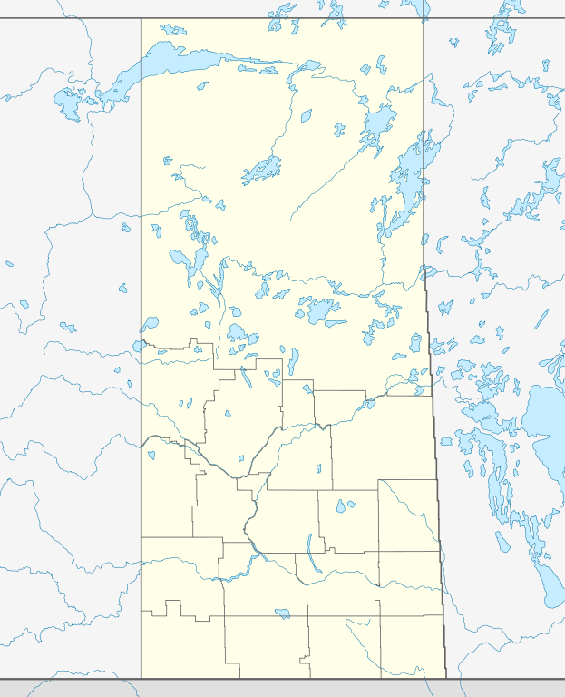
Quadratische Plattkarte, N-S-Streckung 170 %. Geographische Begrenzung der Karte:
Equirectangular projection, N/S stretching 170 %. Geographic limits of the map:
|
| Data | |
| Font |
Treball propi, using
|
| Autor | NordNordWest |
| Permís (Com reutilitzar aquest fitxer) |
Jo, el titular dels drets d'autor d'aquest treball, el public sota la següent llicència: Aquest fitxer està subjecte a la llicència de Creative Commons Reconeixement i Compartir Igual 3.0 No adaptada.
|
| Altres versions |
|


|
This map has been made or improved in the German Kartenwerkstatt (Map Lab). You can propose maps to improve as well.
|
Historial del fitxer
Cliqueu una data/hora per veure el fitxer tal com era aleshores.
| Data/hora | Miniatura | Dimensions | Usuari/a | Comentari | |
|---|---|---|---|---|---|
| actual | 15:30, 26 ago 2009 | | 1.512 × 1.863 (720 Ko) | NordNordWest | {{int:filedesc}} {{Information |Description= {{de|Positionskarte von Saskatchewan, Kanada}} Quadratische Plattkarte, N-S-Streckung 170 %. Geographische Begrenzung der Karte: * N: 60.3° N * S: 48.7° N * W: 114.0° W * |
Ús del fitxer
No hi ha pàgines que utilitzin aquest fitxer.
Ús global del fitxer
Utilització d'aquest fitxer en altres wikis:
- Utilització a af.wikipedia.org
- Utilització a ar.wikipedia.org
- Utilització a azb.wikipedia.org
- Utilització a ban.wikipedia.org
- Utilització a ba.wikipedia.org
- Utilització a be-tarask.wikipedia.org
- Utilització a bg.wikipedia.org
- Utilització a ceb.wikipedia.org
- Utilització a cs.wikipedia.org
- Šablona:LocMap Saskatchewan
- La Ronge (Saskatchewan)
- Beauval (Saskatchewan)
- Île-à-la-Crosse (Saskatchewan)
- Jans Bay (Saskatchewan)
- Goodsoil (Saskatchewan)
- Dorintosh (Saskatchewan)
- Pierceland (Saskatchewan)
- Glaslyn (Saskatchewan)
- Invermay (Saskatchewan)
- Sheho (Saskatchewan)
- Margo (Saskatchewan)
- Tuffnell (Saskatchewan)
- Glenside (Saskatchewan)
- Broderick (Saskatchewan)
- Macrorie (Saskatchewan)
- Hawarden (Saskatchewan)
- Loreburn (Saskatchewan)
- Elbow (Saskatchewan)
- Mistusinne (Saskatchewan)
- Dinsmore (Saskatchewan)
- Conquest (Saskatchewan)
- Paddockwood (Saskatchewan)
- Meath Park (Saskatchewan)
- Weirdale (Saskatchewan)
- Choiceland (Saskatchewan)
- Utilització a de.wikipedia.org
Vegeu més usos globals d'aquest fitxer.