
Fitxer:Flag of Gilgit-Baltistan.png

Mida d'aquesta previsualització: 800 × 556 píxels. Altres resolucions: 320 × 223 píxels | 640 × 445 píxels | 903 × 628 píxels.
Fitxer original (903 × 628 píxels, mida del fitxer: 96 Ko, tipus MIME: image/png)
| Aquest fitxer i la informació mostrada a continuació provenen del dipòsit multimèdia lliure Wikimedia Commons. |
Resum
| Descripció |
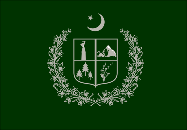
English: This is the Provincial or Territorial flag of Gilgit Baltistan semi-province of Pakistan. |
| Data | |
| Font | Treball propi |
| Autor | عثمان خان شاہ |
Llicència
Jo, el titular dels drets d'autor d'aquest treball, el public sota la següent llicència:
This file is licensed under the Creative Commons Attribution-Share Alike 4.0 International license.
- Sou lliure de:
- compartir – copiar, distribuir i comunicar públicament l'obra
- adaptar – fer-ne obres derivades
- Amb les condicions següents:
- reconeixement – Heu de donar la informació adequada sobre l'autor, proporcionar un enllaç a la llicència i indicar si s'han realitzat canvis. Podeu fer-ho amb qualsevol mitjà raonable, però de cap manera no suggereixi que l'autor us dóna suport o aprova l'ús que en feu.
- compartir igual – Si modifiqueu, transformeu, o generareu amb el material, haureu de distribuir les vostres contribucions sota una llicència similar o una de compatible com l'original
Historial del fitxer
Cliqueu una data/hora per veure el fitxer tal com era aleshores.
| Data/hora | Miniatura | Dimensions | Usuari/a | Comentari | |
|---|---|---|---|---|---|
| actual | 22:47, 4 gen 2015 | | 903 × 628 (96 Ko) | UsmanKhan | User created page with UploadWizard |
Ús del fitxer
La pàgina següent utilitza aquest fitxer:
Ús global del fitxer
Utilització d'aquest fitxer en altres wikis:
- Utilització a af.wikipedia.org
- Utilització a ar.wikipedia.org
- Utilització a arz.wikipedia.org
- Utilització a cs.wikipedia.org
- Utilització a en.wikipedia.org
- List of country calling codes
- Pakistan
- Demographics of Pakistan
- List of sovereign states
- List of sovereign states and dependent territories by continent
- Federated state
- Karakoram
- State emblem of Pakistan
- Administrative units of Pakistan
- Gilgit
- Gojal
- Passu
- List of first-level administrative divisions by area
- Badakhshan Province
- Ghizer District (1974–2019)
- Northern Pakistan
- List of Pakistani flags
- List of leaders of dependent territories
- List of national flowers
- List of cities in Gilgit-Baltistan
- Kachura Lake
- Ghanche District
- Skardu District
- Gilgit District
- Diamer District
- Astore District
- Geography of Gilgit-Baltistan
- Rupal Valley
- Chief Minister of Khyber Pakhtunkhwa
- Gahkuch
- Tarishing
- Gilgit-Baltistan
- Ministry of National Health Services, Regulation and Coordination
- List of administrative units of Pakistan by Human Development Index
- Oshikhandass
- Xinjiang
- Attabad
- Muhajir (Pakistan)
- Chief Minister of Balochistan
- List of Pakistani administrative units by gross state product
- Hamza Shahbaz
- History of Gilgit-Baltistan
- Jutial
- Maryam Nawaz
- User:Shivansh.ganjoo/sandbox
Vegeu més usos globals d'aquest fitxer.