
Fitxer:Somalia regions map Woqooyi Galbeed.svg

Mida d'aquesta previsualització PNG del fitxer SVG: 424 × 600 píxels. Altres resolucions: 170 × 240 píxels | 339 × 480 píxels | 543 × 768 píxels | 724 × 1.024 píxels | 1.448 × 2.048 píxels | 744 × 1.052 píxels.
Fitxer original (fitxer SVG, nominalment 744 × 1.052 píxels, mida del fitxer: 29 Ko)
| Aquest fitxer i la informació mostrada a continuació provenen del dipòsit multimèdia lliure Wikimedia Commons. |
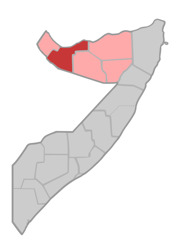
| Descripció | Map of Woqooyi Galbeed Region of Somalia | ||
| Data | |||
| Font | own work, based on File:Somalia regions map.svg | ||
| Autor | de:user:Sven-steffen arndt | ||
| Permís (Com reutilitzar aquest fitxer) |
|
Historial del fitxer
Cliqueu una data/hora per veure el fitxer tal com era aleshores.
| Data/hora | Miniatura | Dimensions | Usuari/a | Comentari | |
|---|---|---|---|---|---|
| actual | 19:28, 8 ago 2007 | | 744 × 1.052 (29 Ko) | Lencer | |
| 23:10, 21 oct 2006 |  | 744 × 1.052 (28 Ko) | Sven-steffen arndt | bigger outer border | |
| 19:06, 30 set 2006 |  | 744 × 1.052 (28 Ko) | Sven-steffen arndt | {{Information |Description=Map of Woqooyi Galbeed Region of Somalia |Source=own work, based on Image:Somalia regions map.svg |Date=30. September 2006 |Author=de:user:Sven-steffen arndt |Permission={{PD-self}} |other_versions= }} [[Category:Maps |
Ús del fitxer
La pàgina següent utilitza aquest fitxer:
Ús global del fitxer
Utilització d'aquest fitxer en altres wikis:
- Utilització a eo.wikipedia.org
- Utilització a fi.wikipedia.org
- Utilització a ha.wikipedia.org
- Utilització a ig.wikipedia.org
- Utilització a ka.wikipedia.org
- Utilització a pt.wikipedia.org
- Utilització a sco.wikipedia.org
- Utilització a so.wikipedia.org
- Utilització a ts.wikipedia.org