
Fitxer:The Florida straits, the L-shaped channel between southeastern Florida and the Bahamas, and the Florida Keys and Cuba.gif

Mida d'aquesta previsualització: 650 × 600 píxels. Altres resolucions: 260 × 240 píxels | 520 × 480 píxels | 832 × 768 píxels | 1.109 × 1.024 píxels | 1.300 × 1.200 píxels.
Fitxer original (1.300 × 1.200 píxels, mida del fitxer: 618 Ko, tipus MIME: image/gif)
| Aquest fitxer i la informació mostrada a continuació provenen del dipòsit multimèdia lliure Wikimedia Commons. |
Resum
| Descripció |
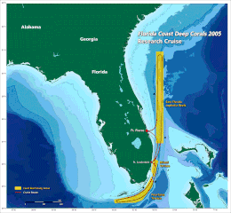
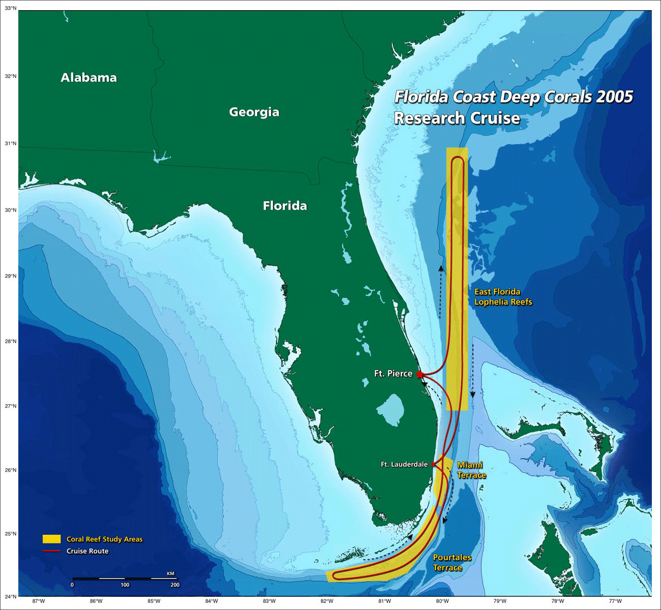
English: the Florida straits, the L-shaped channel between southeastern Florida and the Bahamas, and the Florida Keys and Cuba.[1] |
| Data | 20:22, 30 October 2009 (UTC) |
| Font | http://oceanexplorer.noaa.gov/explorations/05deepcorals/background/mission_plan/media/map_600.gif |
| Autor | Image courtesy of NOAA OE. |
| Permís (Com reutilitzar aquest fitxer) |
U.S. Government work |
Llicència
This image is in the public domain because it contains materials that originally came from the U.S. National Oceanic and Atmospheric Administration, taken or made as part of an employee's official duties.
|
Historial del fitxer
Cliqueu una data/hora per veure el fitxer tal com era aleshores.
| Data/hora | Miniatura | Dimensions | Usuari/a | Comentari | |
|---|---|---|---|---|---|
| actual | 22:22, 30 oct 2009 | | 1.300 × 1.200 (618 Ko) | Mattisse | {{Information |Description = the Florida straits, the L-shaped channel between southeastern Florida and the Bahamas, and the Florida Keys and Cuba.[http://oceanexplorer.noaa.gov/explorations/05deepcorals/background/mission_plan/media/map_600.html] |S |
Ús del fitxer
La pàgina següent utilitza aquest fitxer:
Ús global del fitxer
Utilització d'aquest fitxer en altres wikis:
- Utilització a arz.wikipedia.org
- Utilització a en.wikipedia.org
- Utilització a fr.wikipedia.org