De la Viquipèdia, l'enciclopèdia lliure
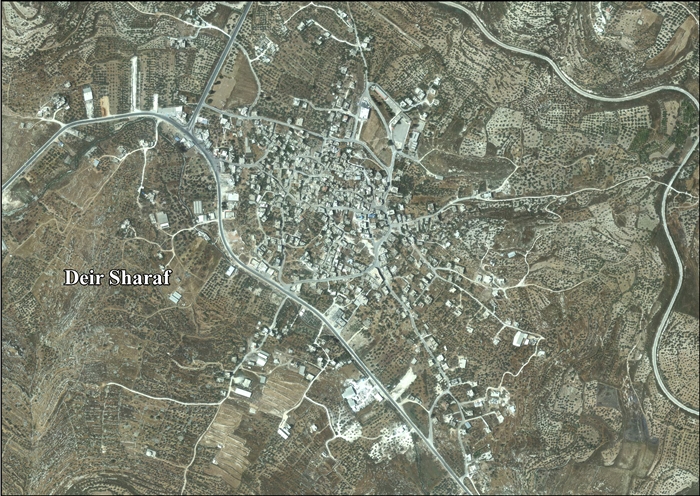
Deir Sharaf (àrab : دير شرف , Dayr Xaraf ) és un vila palestina de la governació de Nablus , a Cisjordània , al nord de la vall del Jordà , 9 kilòmetres al nord-oest de Nablus . Segons l'Oficina Central Palestina d'Estadístiques tenia una població de 2.759 habitants en 2007.[1]
El 3 de juliol de 2014 les autoritats israelianes van confirmar que confiscarien 16 dunams de terra vora la vila en el que anomenaren «finalitats militars».[2]
Barron, J.B.. Palestine: Report and General Abstracts of the Census of 1922 Conder , Claude ReignierKitchener , H.H.The Survey of Western Palestine: Memoirs of the Topography, Orography, Hydrography, and Archaeology Committee of the Palestine Exploration Fund , 1882. 159 )Department of Statistics. Village Statistics, April, 1945 Hadawi , S.Village Statistics of 1945: A Classification of Land and Area ownership in Palestine Hütteroth , Wolf-Dieter; Abdulfattah , Kamal. Historical Geography of Palestine, Transjordan and Southern Syria in the Late 16th Century ISBN 3-920405-41-2 Mills, E.. Census of Palestine 1931. Population of Villages, Towns and Administrative Areas Palmer , E. H.The Survey of Western Palestine: Arabic and English Name Lists Collected During the Survey by Lieutenants Conder and Kitchener, R. E. Transliterated and Explained by E.H. Palmer Committee of the Palestine Exploration Fund , 1881. 182 )
Enllaços externs [ modifica ] 


