
Fitxer:100927 Shuri Cstl aerial.jpg

Mida d'aquesta previsualització: 800 × 450 píxels. Altres resolucions: 320 × 180 píxels | 640 × 360 píxels | 920 × 518 píxels.
Fitxer original (920 × 518 píxels, mida del fitxer: 681 Ko, tipus MIME: image/jpeg)
| Aquest fitxer i la informació mostrada a continuació provenen del dipòsit multimèdia lliure Wikimedia Commons. |
Resum
| Descripció |
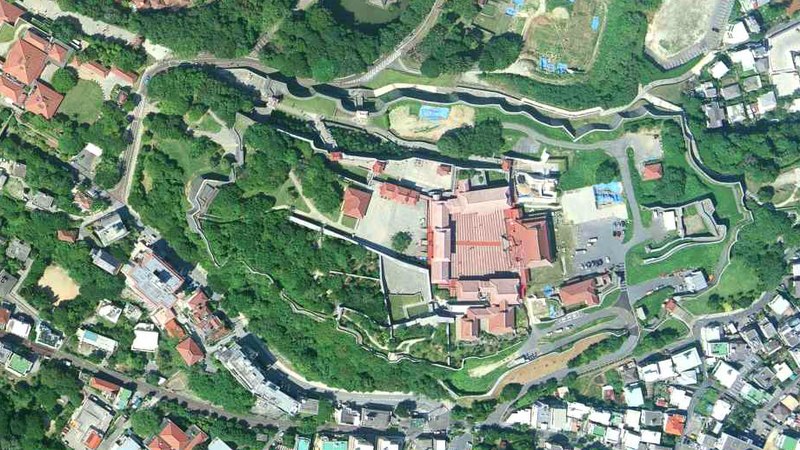
沖縄県那覇市首里城上空の空中写真。 国土交通省撮影の空中写真COK20101-C11-12を使用。 |
| Data | |
| Font | 国土地理院地図・空中写真閲覧サービス |
| Autor | 国土交通省国土地理院 |
| Posició de la càmera | | Aquesta i altres imatges properes a: OpenStreetMap |
|---|
Llicència

|
El titular dels drets d'autor d'aquest arxiu, the Ministry of Land, Infrastructure, Transport and Tourism of Japan, permet que qualsevol pugui usar-lo per a qualsevol propòsit, sempre que el titular dels drets d'autor sigui reconegut correctament. La redistribució, les obres derivades, l'ús comercial, i qualsevol altre ús està permès. |
Reconeixement:
Copyright © National Land Image Information (Color Aerial Photographs), Ministry of Land, Infrastructure, Transport and Tourism
|
 |
This image is copyrighted by the Ministry of Land, Infrastructure, Transport and Tourism of Japan. For terms of use, see the stipulation to use of National Land Information (in Japanese) and message from MLIT (in Japanese and English). When you display this image on an article, include the following phrase in the description: "Made based on National Land Image Information (Color Aerial Photographs), Ministry of Land, Infrastructure, Transport and Tourism".
|
Historial del fitxer
Cliqueu una data/hora per veure el fitxer tal com era aleshores.
| Data/hora | Miniatura | Dimensions | Usuari/a | Comentari | |
|---|---|---|---|---|---|
| actual | 15:11, 11 des 2021 | | 920 × 518 (681 Ko) | 名古屋太郎 | {{Information |Description= 沖縄県那覇市首里城上空の空中写真。 国土交通省撮影の空中写真COK20101-C11-12を使用。 |Source= 国土地理院地図・空中写真閲覧サービス |Date= 2010-09-27 |Author= 国土交通省国土地理院 |Permission= |other_versions= }} Category:Shuri Castle Category:Taken with Leica Wild Heerbrugg RC30 |
Ús del fitxer
La pàgina següent utilitza aquest fitxer:
Ús global del fitxer
Utilització d'aquest fitxer en altres wikis:
- Utilització a ja.wikipedia.org
- Utilització a la.wikipedia.org
- Utilització a www.wikidata.org