
Fitxer:Cambodia Siem Reap locator map.svg

Mida d'aquesta previsualització PNG del fitxer SVG: 664 × 600 píxels. Altres resolucions: 266 × 240 píxels | 531 × 480 píxels | 850 × 768 píxels | 1.133 × 1.024 píxels | 2.267 × 2.048 píxels | 1.347 × 1.217 píxels.
Fitxer original (fitxer SVG, nominalment 1.347 × 1.217 píxels, mida del fitxer: 737 Ko)
| Aquest fitxer i la informació mostrada a continuació provenen del dipòsit multimèdia lliure Wikimedia Commons. |
| Descripció |
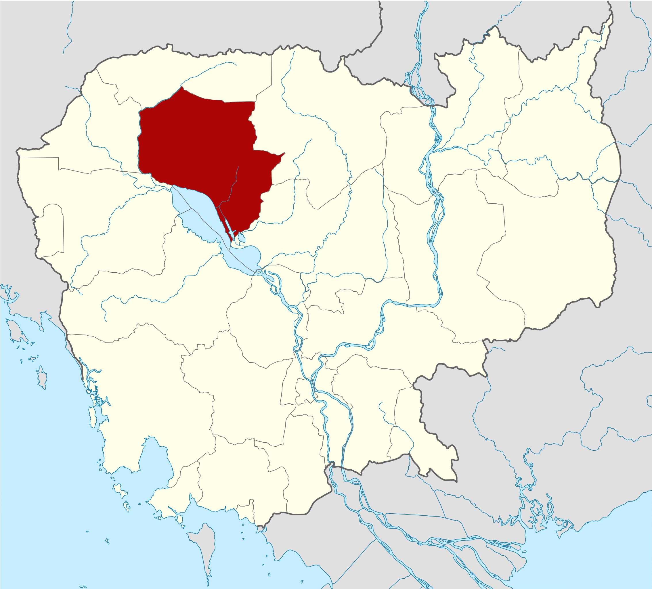
Deutsch: Positionskarte von Kambodscha Quadratische Plattkarte, N-S-Streckung 105 %. Geographische Begrenzung der Karte: * N: 14.8° N * S: 9.9° N * W: 102.2° O * O: 107.9° O Equirectangular projection, N/S stretching 105 %. Geographic limits of the map: * N: 14.8° N * S: 9.9° N * W: 102.2° E * E: 107.9° E |
| Data | (UTC) |
| Font | Own work based on: Cambodia location map.svg de NordNordWest |
| Autor | Kmusser |
| SVG genesis | El codi font d’aquest SVG no és vàlid perquè hi 278 han errors. Aquesta imatge vectorial ha estat creada amb Adobe Illustrator, and with Inkscape. |
| Això és una imatge retocada, cosa que vol dir que ha estat alterada digitalment de la seva versió original. Modificacions: highlighted Siem Reap Province. L'original es pot veure a: Cambodia location map.svg:
|
Jo, el titular dels drets d'autor d'aquest treball, el public sota les següents llicències:
Aquest fitxer està subjecte a la llicència de Creative Commons Reconeixement i Compartir Igual 3.0 No adaptada.
- Sou lliure de:
- compartir – copiar, distribuir i comunicar públicament l'obra
- adaptar – fer-ne obres derivades
- Amb les condicions següents:
- reconeixement – Heu de donar la informació adequada sobre l'autor, proporcionar un enllaç a la llicència i indicar si s'han realitzat canvis. Podeu fer-ho amb qualsevol mitjà raonable, però de cap manera no suggereixi que l'autor us dóna suport o aprova l'ús que en feu.
- compartir igual – Si modifiqueu, transformeu, o generareu amb el material, haureu de distribuir les vostres contribucions sota una llicència similar o una de compatible com l'original

|
S'autoritza la còpia, la distribució i la modificació d'aquest document sota els termes de la llicència de documentació lliure GNU versió 1.2 o qualsevol altra versió posterior que publiqui la Free Software Foundation; sense seccions invariants, ni textos de portada, ni textos de contraportada. S'inclou una còpia d'aquesta llicència en la secció titulada GNU Free Documentation License. |
Podeu seleccionar la llicència que vulgueu.
Registre original de càrregues
This image is a derivative work of the following images:
- File:Cambodia_location_map.svg licensed with Cc-by-sa-3.0, GFDL
- 2009-02-12T21:35:03Z NordNordWest 1347x1217 (728478 Bytes) smaller file
- 2009-02-12T20:56:36Z NordNordWest 1347x1216 (1074945 Bytes) {{Information |Description= {{de|Positionskarte von [[:de:Kambodscha|Kambodscha]]}} Quadratische Plattkarte, N-S-Streckung 105 %. Geographische Begrenzung der Karte: * N: 14.8° N * S: 9.9° N * W: 102.2° O * O: 107.9° O {{
Historial del fitxer
Cliqueu una data/hora per veure el fitxer tal com era aleshores.
| Data/hora | Miniatura | Dimensions | Usuari/a | Comentari | |
|---|---|---|---|---|---|
| actual | 17:30, 8 juny 2010 | | 1.347 × 1.217 (737 Ko) | Kmusser | {{Information |Description={{de|Positionskarte von Kambodscha}} Quadratische Plattkarte, N-S-Streckung 105 %. Geographische Begrenzung der Karte: * N: 14.8° N * S: 9.9° N * W: 102.2° O * O: 107.9° O {{en|Location map of [[:en:Cambod |
Ús del fitxer
No hi ha pàgines que utilitzin aquest fitxer.
Ús global del fitxer
Utilització d'aquest fitxer en altres wikis:
- Utilització a ceb.wikipedia.org
- Utilització a de.wikipedia.org
- Utilització a en.wikipedia.org
- Angkor Wat
- Angkor Thom
- Bayon
- Ta Prohm
- Ta Keo
- Baphuon
- Terrace of the Elephants
- Preah Ko
- Bakong
- Prasat Kravan
- Banteay Kdei
- Thommanon
- Prasat Baksei Chamkrong
- Phimeanakas
- Neak Pean
- Preah Khan
- Ta Som
- Phnom Bakheng
- Phnom Krom
- Banteay Srei
- Siem Reap province
- Kbal Spean
- Pre Rup
- Lolei
- East Baray
- East Mebon
- Banteay Samré
- Terrace of the Leper King
- West Baray
- West Mebon
- Siem Reap
- Ta Nei
- Template:Siem Reap province
- Angkor Chum District
- Angkor Thom district
- Banteay Srei district
- Chi Kraeng District
- Kralanh District
- Prasat Bakong District
- Siem Reap municipality
- Soutr Nikom District
- Svay Leu District
- Srei Snam District
- Varin district
- Siem Reap River
- Ak Yum
- Puok District
Vegeu més usos globals d'aquest fitxer.