
Fitxer:Cheshire outline map with UK.png
No hi ha cap versió amb una resolució més gran.
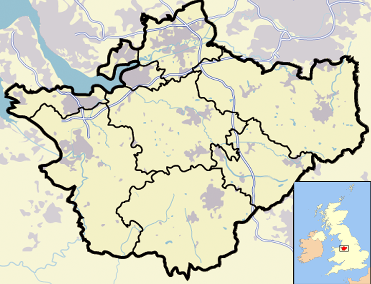
Cheshire_outline_map_with_UK.png (722 × 552 píxels, mida del fitxer: 412 Ko, tipus MIME: image/png)
| Aquest fitxer i la informació mostrada a continuació provenen del dipòsit multimèdia lliure Wikimedia Commons. |
Resum
| Descripció | Map of en:Cheshire and surrounding area, with micromap of the British Isles for context. Urban areas are shown in grey, water bodies in light-blue, motorways in blue with white stripe and county and borough boundaries in black. |
| Data | 29 de març de 2007 (original upload date) |
| Font | Transferred from en.wikipedia to Commons. |
| Autor | Jhamez84 de la Viquipèdia en anglès |
| Altres versions |
.png) (for boundaries expected to come into effect for 2009). (for boundaries expected to come into effect for 2009). |
Llicència
| S'ha alliberat aquesta obra al domini públic pel seu autor Jhamez84 de la Viquipèdia en anglès. Això s'aplica a tot el món. En alguns països això pot no ser legalment possible, en tal cas: Jhamez84 concedeix a tothom el dret d'usar aquesta obra per a qualsevol propòsit, sense cap condició llevat d'aquelles requerides per la llei. |
Registre original de càrregues
La pàgina de descripció original era aquí. Els noms d'usuari a continuació es refereixen a en.wikipedia.
- 2007-04-11 23:50 Jhamez84 722×552×8 (421996 bytes) correcting positioning of some urban areas (they were too east-northeasterly)
- 2007-04-11 17:14 Jhamez84 722×552×8 (420187 bytes) fixing issues in and around the [[M6 motorway]] (moving it to the west per discussion)
- 2007-04-11 00:38 Jhamez84 722×552×8 (438177 bytes) Much more detailed (and thus hopefully more accurate) version of the [[Cheshire]] map.
- 2007-03-29 23:48 Jhamez84 800×558×8 (446798 bytes) Map of [[Cheshire]] and surrounding area, with micromap of the British Isles for context. Urban areas are shown in grey, water bodies in light-blue, motorways in blue with white stripe and county and borough boundaries in black.
Historial del fitxer
Cliqueu una data/hora per veure el fitxer tal com era aleshores.
| Data/hora | Miniatura | Dimensions | Usuari/a | Comentari | |
|---|---|---|---|---|---|
| actual | 15:02, 23 juny 2008 | | 722 × 552 (412 Ko) | Jza84 | removed erroneous urban area |
| 22:55, 29 juny 2007 |  | 722 × 552 (412 Ko) | Pit-yacker | {{Information |Description=Map of en:Cheshire and surrounding area, with micromap of the British Isles for context. Urban areas are shown in grey, water bodies in light-blue, motorways in blue with white stripe and county and borough boundaries in bl |
Ús del fitxer
No hi ha pàgines que utilitzin aquest fitxer.
Ús global del fitxer
Utilització d'aquest fitxer en altres wikis:
- Utilització a ar.wikipedia.org
- Utilització a ceb.wikipedia.org
- Utilització a en.wikipedia.org
- Utilització a eo.wikipedia.org
- Utilització a ga.wikipedia.org
- Utilització a ml.wikipedia.org
- Utilització a pt.wikipedia.org
- Utilització a ro.wikipedia.org
- Utilització a sv.wikipedia.org
- Utilització a tt.wikipedia.org
- Utilització a uk.wikipedia.org
- Utilització a www.wikidata.org