
Fitxer:Cooks Karte von Neufundland.jpg

Mida d'aquesta previsualització: 615 × 599 píxels. Altres resolucions: 246 × 240 píxels | 492 × 480 píxels | 788 × 768 píxels | 1.051 × 1.024 píxels | 1.500 × 1.462 píxels.
Fitxer original (1.500 × 1.462 píxels, mida del fitxer: 521 Ko, tipus MIME: image/jpeg)
| Aquest fitxer i la informació mostrada a continuació provenen del dipòsit multimèdia lliure Wikimedia Commons. |
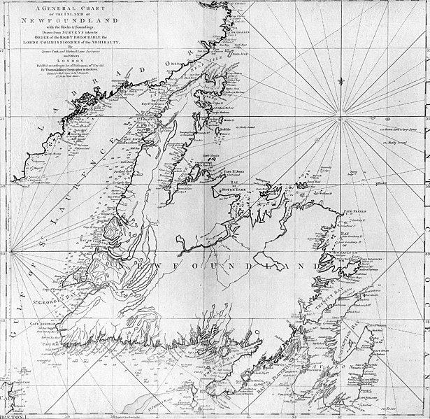
| Descripció | A general chart of the island of Newfoundland. Surveyed by James Cook and Michael Lane, and "publish'd according to Act of Parliament by Thomas Jefferys Geographer to the King, 1775." |
| Data | |
| Font | originally uploaded to en.wikipedia by Jcmurphy on 23 Apr 2005; copied from "Courtesy of the Centre for Newfoundland Studies, Memorial University of Newfoundland, St. John's, Newfoundland." |
| Autor | Michael Lane and James Cook |
| Permís (Com reutilitzar aquest fitxer) |
Public domain because of age |
|
Aquest material està en domini públic als Estats Units i als altres països on el dret d'autor s'estén per 100 anys (o menys) després de la mort de l'autor. | |
| Aquest fitxer està identificat com a lliure de restriccions conegudes sota la llei de drets d'autor, inclosos els drets veïns. | |
Historial del fitxer
Cliqueu una data/hora per veure el fitxer tal com era aleshores.
| Data/hora | Miniatura | Dimensions | Usuari/a | Comentari | |
|---|---|---|---|---|---|
| actual | 21:10, 6 gen 2006 | | 1.500 × 1.462 (521 Ko) | Schaengel89~commonswiki | {{Information| |Description =A general chart of the island of Newfoundland. Surveyed by James Cook and Michael Lane, and "publish'd according to Act of Parliament by Thomas Jefferys Geographer to the King, 1775." |Source =originally yuploaded to |
Ús del fitxer
Les 2 pàgines següents utilitzen aquest fitxer:
Ús global del fitxer
Utilització d'aquest fitxer en altres wikis:
- Utilització a bs.wikipedia.org
- Utilització a de.wikipedia.org
- Utilització a en.wikipedia.org
- Utilització a en.wikivoyage.org
- Utilització a eo.wikipedia.org
- Utilització a es.wikipedia.org
- Utilització a fi.wikipedia.org
- Utilització a fr.wikipedia.org
- Utilització a fur.wikipedia.org
- Utilització a ga.wikipedia.org
- Utilització a gl.wikipedia.org
- Utilització a he.wikipedia.org
- Utilització a hy.wikipedia.org
- Utilització a ia.wikipedia.org
- Utilització a it.wikipedia.org
- Utilització a ja.wikipedia.org
- Utilització a ka.wikipedia.org
- Utilització a ko.wikipedia.org
- Utilització a la.wikipedia.org
- Utilització a li.wikipedia.org
- Utilització a lt.wikipedia.org
- Utilització a mk.wikipedia.org
- Utilització a ne.wikipedia.org
- Utilització a no.wikipedia.org
- Utilització a oc.wikipedia.org
- Utilització a pl.wikipedia.org
- Utilització a pl.wiktionary.org
- Utilització a pt.wikipedia.org
- Utilització a ro.wikipedia.org
Vegeu més usos globals d'aquest fitxer.