
Fitxer:Durham UK location map.svg

Mida d'aquesta previsualització PNG del fitxer SVG: 800 × 524 píxels. Altres resolucions: 320 × 210 píxels | 640 × 419 píxels | 1.024 × 671 píxels | 1.280 × 839 píxels | 2.560 × 1.678 píxels | 1.425 × 934 píxels.
Fitxer original (fitxer SVG, nominalment 1.425 × 934 píxels, mida del fitxer: 1,39 Mo)
| Aquest fitxer i la informació mostrada a continuació provenen del dipòsit multimèdia lliure Wikimedia Commons. |
| Descripció |
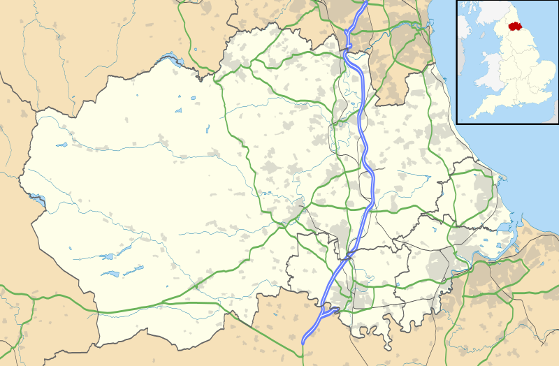
Map of County Durham, UK with the following information shown:
Equirectangular map projection on WGS 84 datum, with N/S stretched 170% Geographic limits:
|
| Data | |
| Font |
|
| Autor | Nilfanion, created using Ordnance Survey data |
| Permís (Com reutilitzar aquest fitxer) |
Aquest fitxer està subjecte a la llicència de Creative Commons Reconeixement i Compartir Igual 3.0 No adaptada. Reconeixement: Contains Ordnance Survey data © Crown copyright and database right
|
| Altres versions | File:Durham UK district map (blank).svg - Blank map |
.svg)
Historial del fitxer
Cliqueu una data/hora per veure el fitxer tal com era aleshores.
| Data/hora | Miniatura | Dimensions | Usuari/a | Comentari | |
|---|---|---|---|---|---|
| actual | 21:04, 26 set 2010 | | 1.425 × 934 (1,39 Mo) | Nilfanion | fixing dodgy layer |
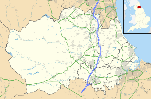
| 20:43, 26 set 2010 |  | 1.425 × 934 (1,39 Mo) | Nilfanion | {{Information |Description=Map of County Durham, UK with the following information shown: *Administrative borders *Coastline, lakes and rivers *Roads and railways *Urban areas Equirectangular map projection on WGS 84 datum, with N/S s |
Ús del fitxer
No hi ha pàgines que utilitzin aquest fitxer.
Ús global del fitxer
Utilització d'aquest fitxer en altres wikis:
- Utilització a ar.wikipedia.org
- Utilització a azb.wikipedia.org
- Utilització a bg.wikipedia.org
- Utilització a ceb.wikipedia.org
- Utilització a en.wikipedia.org
- Tanfield, County Durham
- Durham, England
- Barnard Castle
- Darlington
- Willington, County Durham
- Pity Me
- Chester-le-Street
- Hartlepool
- Stockton-on-Tees
- Bishop Auckland
- Seaham
- Sedgefield
- Peterlee
- Annfield Plain
- Easington, County Durham
- Consett
- Newton Aycliffe
- Catchgate
- Norton, County Durham
- Spennymoor
- Beamish Museum
- Stanley, County Durham
- Ferryhill
- Gainford, County Durham
- Billingham
- Eaglescliffe
- Ushaw College
- Lambton Castle
- No Place
- Burnhope
- Craghead
- Shotley Bridge
- Preston Hall, Preston-on-Tees
- Sacriston
- Cassop
- Teesside International Airport
- White-le-Head
- Tanfield Lea
- Quaking Houses
- South Moor
- Oxhill, County Durham
- Preston-on-Tees
- List of places in County Durham
- Lumley Castle
- East Kyo
Vegeu més usos globals d'aquest fitxer.