
Fitxer:Hertfordshire UK location map.svg

Mida d'aquesta previsualització PNG del fitxer SVG: 800 × 557 píxels. Altres resolucions: 320 × 223 píxels | 640 × 446 píxels | 1.024 × 713 píxels | 1.280 × 891 píxels | 2.560 × 1.782 píxels | 1.425 × 992 píxels.
Fitxer original (fitxer SVG, nominalment 1.425 × 992 píxels, mida del fitxer: 1,84 Mo)
| Aquest fitxer i la informació mostrada a continuació provenen del dipòsit multimèdia lliure Wikimedia Commons. |
| Descripció |
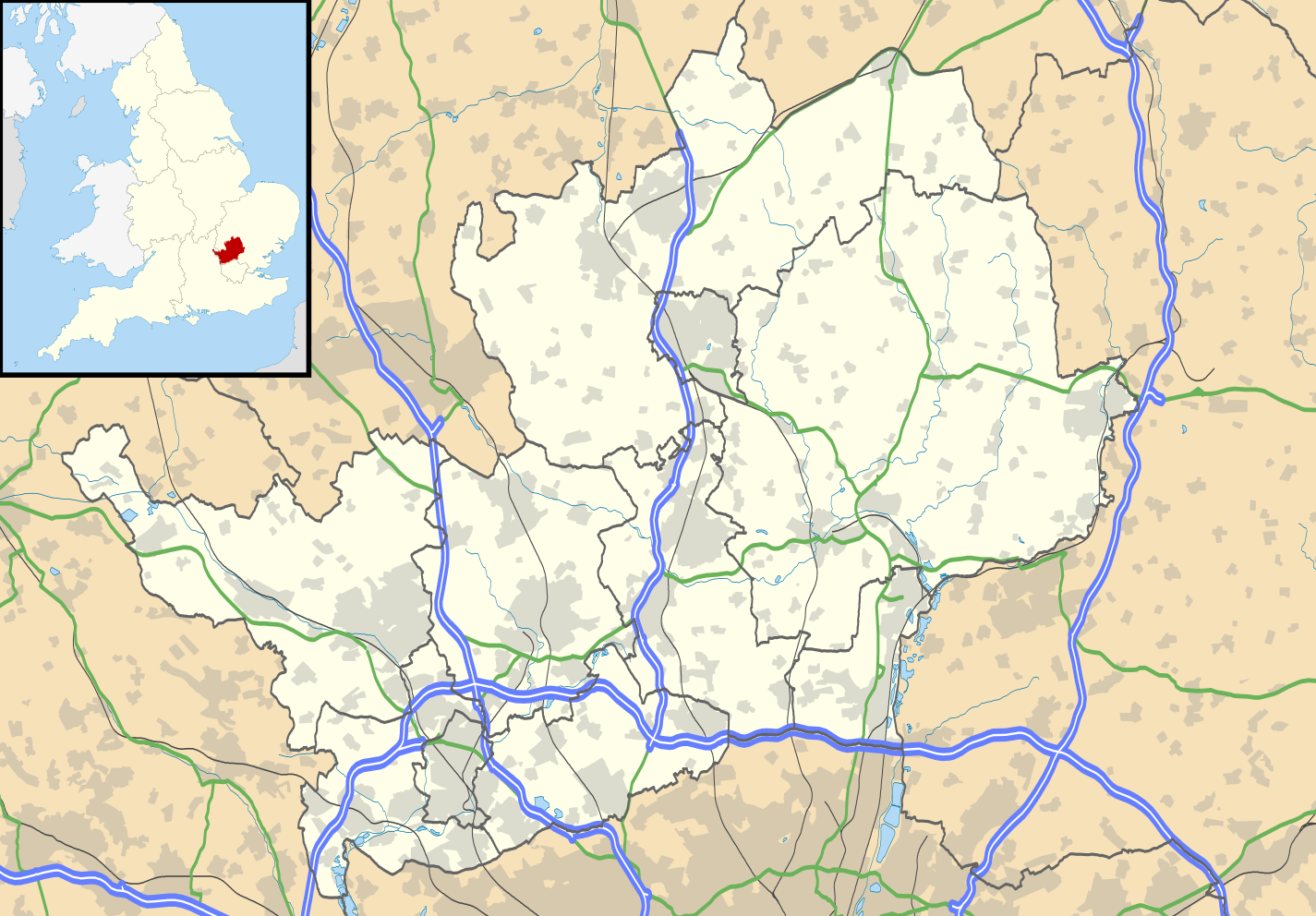
Map of Hertfordshire, UK with the following information shown:
Equirectangular map projection on WGS 84 datum, with N/S stretched 160% Geographic limits:
|
| Data | |
| Font |
|
| Autor | Nilfanion, created using Ordnance Survey data |
| Permís (Com reutilitzar aquest fitxer) |
Aquest fitxer està subjecte a la llicència de Creative Commons Reconeixement i Compartir Igual 3.0 No adaptada. Reconeixement: Contains Ordnance Survey data © Crown copyright and database right
|
| Altres versions | File:Hertfordshire UK district map (blank).svg - Blank map |
.svg)
Historial del fitxer
Cliqueu una data/hora per veure el fitxer tal com era aleshores.
| Data/hora | Miniatura | Dimensions | Usuari/a | Comentari | |
|---|---|---|---|---|---|
| actual | 20:56, 26 set 2010 | | 1.425 × 992 (1,84 Mo) | Nilfanion | {{Information |Description=Map of Hertfordshire, UK with the following information shown: *Administrative borders *Coastline, lakes and rivers *Roads and railways *Urban areas Equirectangular map projection on WGS 84 datum, with N/S s |
Ús del fitxer
No hi ha pàgines que utilitzin aquest fitxer.
Ús global del fitxer
Utilització d'aquest fitxer en altres wikis:
- Utilització a ar.wikipedia.org
- Utilització a bg.wikipedia.org
- Utilització a ceb.wikipedia.org
- Utilització a en.wikipedia.org
- Hatfield, Hertfordshire
- Hertfordshire
- St Albans
- Verulamium
- St Albans Cathedral
- Hatfield House
- Berkhamsted
- Bricket Wood
- Hemel Hempstead
- Hoddesdon
- Royston, Hertfordshire
- Hitchin
- Preston, Hertfordshire
- Apsley, Hertfordshire
- Welwyn Garden City
- Borehamwood
- Welwyn
- Watford tube station
- Harpenden
- Hertford
- Potters Bar
- Bishop's Stortford
- Tring
- Frithsden
- Rickmansworth
- Watford Junction railway station
- Nettleden
- Ringshall, Berkhamsted
- Much Hadham
- Kings Langley
- Mill Green Museum
- Baldock
- Buntingford
- Cheshunt
- Aldbury
- Ashridge
- Sawbridgeworth
- Ware, Hertfordshire
- Bovingdon
- London Colney
- Elstree Studios
- Bushey
- Redbourn
- Redbournbury Mill
- Elstree
- Warner Bros. Studios, Leavesden
- Willian, Hertfordshire
Vegeu més usos globals d'aquest fitxer.