
Fitxer:Karte Chiemgau.png

Mida d'aquesta previsualització: 691 × 600 píxels. Altres resolucions: 277 × 240 píxels | 553 × 480 píxels | 885 × 768 píxels | 1.180 × 1.024 píxels | 2.155 × 1.870 píxels.
Fitxer original (2.155 × 1.870 píxels, mida del fitxer: 1,33 Mo, tipus MIME: image/png)
| Aquest fitxer i la informació mostrada a continuació provenen del dipòsit multimèdia lliure Wikimedia Commons. |
| Descripció |
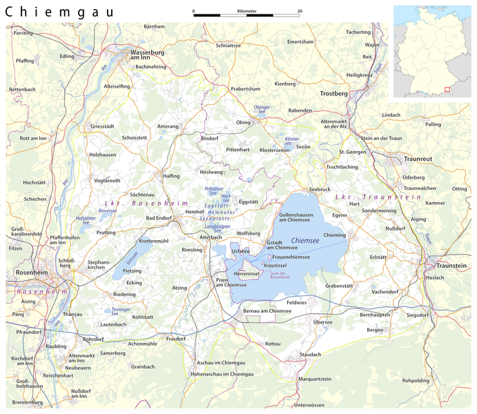
Deutsch: Karte: Chiemgau (Abgrenzung nach BfN)
English: Map: Chiemgau |
| Data | see file history |
| Font |
own work, using
|
| Autor | Maximilian Dörrbecker (Chumwa) |
| Permís (Com reutilitzar aquest fitxer) |
All OpenStreetMap data and maps are Creative Commons "CC-BY-SA 2.0" licensed Aquest fitxer està publicat sota la llicència de Creative Commons Reconeixement i Compartir Igual 2.0 Genèrica.
|
Historial del fitxer
Cliqueu una data/hora per veure el fitxer tal com era aleshores.
| Data/hora | Miniatura | Dimensions | Usuari/a | Comentari | |
|---|---|---|---|---|---|
| actual | 02:02, 5 juny 2015 | | 2.155 × 1.870 (1,33 Mo) | Cmdrjameson | Compressed with pngout. Reduced by 829kB (37% decrease). |
| 23:58, 6 nov 2009 |  | 2.155 × 1.870 (2,14 Mo) | Chumwa | Hemhofer Seenplatte → Eggstätt-Hemhofer Seenplatte | |
| 23:15, 4 nov 2009 |  | 2.155 × 1.870 (2,14 Mo) | Chumwa | Chiemseeinseln gehören zum Lkr. Rosenheim | |
| 08:51, 4 nov 2009 |  | 2.155 × 1.870 (2,14 Mo) | Chumwa | {{Information |Description={{de|Karte: Chiemgau}} {{en|Map: Chiemgau}} |Author=Maximilian Dörrbecker (Chumwa) |Source=own work, using * OpenStreetMap data for the background * [[:File:Germany_location_map.svg|t |
Ús del fitxer
Les 2 pàgines següents utilitzen aquest fitxer:
Ús global del fitxer
Utilització d'aquest fitxer en altres wikis:
- Utilització a an.wikipedia.org
- Utilització a ar.wikipedia.org
- Utilització a arz.wikipedia.org
- Utilització a ceb.wikipedia.org
- Utilització a de.wikipedia.org
- Utilització a de.wikivoyage.org
- Utilització a en.wikipedia.org
- Utilització a eo.wikipedia.org
- Utilització a es.wikipedia.org
- Utilització a eu.wikipedia.org
- Utilització a fr.wikipedia.org
- Utilització a hu.wikipedia.org
- Utilització a it.wikipedia.org
- Utilització a nl.wikipedia.org
- Utilització a pl.wikipedia.org
- Utilització a pl.wikivoyage.org
- Utilització a ro.wikipedia.org
- Utilització a ru.wikipedia.org
- Utilització a sr.wikipedia.org
- Utilització a www.wikidata.org