
Fitxer:LL 80 - MERS-LES-BAINS - Avenue de la Gare.JPG
Mida d'aquesta previsualització: 800 × 507 píxels. Altres resolucions: 320 × 203 píxels | 640 × 406 píxels | 1.024 × 649 píxels | 1.280 × 812 píxels | 1.621 × 1.028 píxels.
Fitxer original (1.621 × 1.028 píxels, mida del fitxer: 511 Ko, tipus MIME: image/jpeg)
| Aquest fitxer i la informació mostrada a continuació provenen del dipòsit multimèdia lliure Wikimedia Commons. |
Resum
| Descripció |
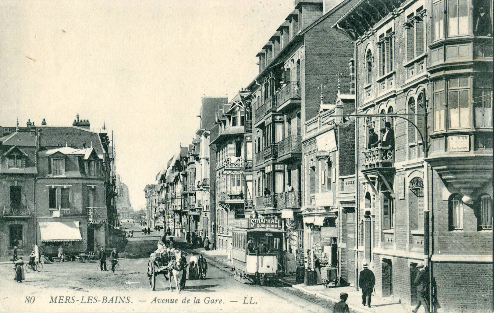
Français : Carte postale ancienne éditée par LL, n°80 : Mers-les-Bains - Avenue de la Gare (2022: Avenue du Maréchal Foch)
Deutsch: Historische Postkarte Nr. 80, herausgegeben von LL: Mers-les-Bains - damalige Avenue de la Gare (2022: Avenue du Maréchal Foch) |
| Data | abans 1914 |
| Font | Collection personnelle |
| Autor | Scanné par Claude villetaneuse |
| Posició de l'objecte | | Aquesta i altres imatges properes a: OpenStreetMap |
|---|
| Posició de la càmera | | Aquesta i altres imatges properes a: OpenStreetMap |
|---|
Llicència
This image (or other media file) is in the public domain because its copyright has expired and its author is anonymous.
This applies to the European Union and those countries with a copyright term of 70 years after the work was made available to the public and the author never disclosed their identity. Important: Always mention where the image comes from, as far as possible, and make sure the author never claimed authorship. |
 | |
 |
Note: In Germany and possibly other countries, certain anonymous works published before July 1, 1995 are copyrighted until 70 years after the death of the author. See Übergangsrecht. Please use this template only if the author never claimed authorship or their authorship never became public in any other way. If the work is anonymous or pseudonymous (e.g., published only under a corporate or organization's name), use this template for images published more than 70 years ago.
For a work made available to the public in the United Kingdom, please use Template:PD-UK-unknown instead.
|
Historial del fitxer
Cliqueu una data/hora per veure el fitxer tal com era aleshores.
| Data/hora | Miniatura | Dimensions | Usuari/a | Comentari | |
|---|---|---|---|---|---|
| actual | 14:20, 24 març 2013 | | 1.621 × 1.028 (511 Ko) | Claude villetaneuse | User created page with UploadWizard |
Ús del fitxer
La pàgina següent utilitza aquest fitxer:
Ús global del fitxer
Utilització d'aquest fitxer en altres wikis:
- Utilització a de.wikipedia.org
- Utilització a fr.wikipedia.org
- Utilització a fr.wikibooks.org