
Fitxer:Lebanon adm location map.svg

Fitxer original (fitxer SVG, nominalment 992 × 1.141 píxels, mida del fitxer: 133 Ko)
| Aquest fitxer i la informació mostrada a continuació provenen del dipòsit multimèdia lliure Wikimedia Commons. |
Resum
| Descripció |
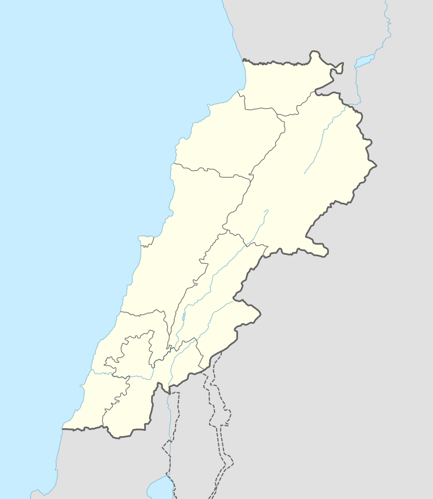
Deutsch: Positionskarte von Libanon
English: Location map of Lebanon
|
||||||||||||
| Data | |||||||||||||
| Font |
Own work using:
|
||||||||||||
| Autor | NordNordWest | ||||||||||||
| SVG genesis | Aquesta imatge vectorial ha estat creada amb Adobe Illustrator
|
||||||||||||

Llicència
Usage of this file with:

explanatory notes: Legally binding is only the full legalcode. For a free usage I recommend to respect the following licence conditions:
1. Provide my name as given above: NordNordWest,
2. a copy of, or the URI for, the applicable license: https://creativecommons.org/licenses/by-sa/3.0/de/legalcode,
3. the title of the work,
4. in the case of an adaptation, a credit identifying the use of the work in the adaptation.
This license and the rights granted hereunder will terminate automatically upon any breach by you of the terms of this license. Any of the above conditions can be waived if you get permission from the copyright holder. If you have questions or wish differing conditions, please contact me through nnwest or my discussion page ![]() t-online.de
t-online.de
- Sou lliure de:
- compartir – copiar, distribuir i comunicar públicament l'obra
- adaptar – fer-ne obres derivades
- Amb les condicions següents:
- reconeixement – Heu de donar la informació adequada sobre l'autor, proporcionar un enllaç a la llicència i indicar si s'han realitzat canvis. Podeu fer-ho amb qualsevol mitjà raonable, però de cap manera no suggereixi que l'autor us dóna suport o aprova l'ús que en feu.
- compartir igual – Si modifiqueu, transformeu, o generareu amb el material, haureu de distribuir les vostres contribucions sota una llicència similar o una de compatible com l'original

Historial del fitxer
Cliqueu una data/hora per veure el fitxer tal com era aleshores.
| Data/hora | Miniatura | Dimensions | Usuari/a | Comentari | |
|---|---|---|---|---|---|
| actual | 16:29, 20 set 2016 | | 992 × 1.141 (133 Ko) | NordNordWest | corr |
| 10:37, 5 ago 2016 |  | 992 × 1.141 (134 Ko) | NordNordWest | corr | |
| 18:54, 1 feb 2015 |  | 992 × 1.141 (133 Ko) | NordNordWest | == {{int:filedesc}} == {{Information |Description= {{de|1=Positionskarte von Libanon}} {{en|1=Location map of Lebanon}} {{Location map series N |stretching=115 |top=34.9 |bottom=32.8 |left=34.8 |right=36.9 }} |Source={{Own using}} * United States Natio... |
Ús del fitxer
Les 4 pàgines següents utilitzen aquest fitxer:
Ús global del fitxer
Utilització d'aquest fitxer en altres wikis:
- Utilització a ar.wikipedia.org
- بعلبك
- الحر العاملي
- حبشيت
- الزواريب
- حلبا
- الشيخ محمد
- حاصبيا
- فنار (جبل لبنان)
- مقنة
- قصر الهرمل
- الدوري اللبناني الممتاز
- عصر الرعاة الحجري الحديث
- وحدة:Location map/data/Lebanon
- وحدة:Location map/data/Lebanon/شرح
- قالب:خريطة مفصلة للتمرد اللبناني
- الدوري اللبناني الممتاز 2017–18
- اشتباكات شمال لبنان (2014)
- الدوري اللبناني الممتاز 2018–19
- الدوري اللبناني الدرجة الثانية 2018–19
- قلعة البسترة
- الدوري اللبناني الممتاز 2016–17
- الدوري اللبناني الممتاز 2008–09
- الدوري اللبناني الممتاز 2010–11
- الدوري اللبناني الممتاز 2011–12
- الدوري اللبناني الممتاز 2015–16
- حادثة إطلاق النار في طرابلس 2019
- معركة صيدا (1991)
- بقعاتا (منطقة)
- معركة طرابلس (1983)
- الدوري اللبناني الدرجة الثانية 2020–21
- الدوري اللبناني الدرجة الثانية 2021–22
- الدوري اللبناني الممتاز 2023–24
- الدورة (لبنان)
- Utilització a arz.wikipedia.org
- Utilització a ast.wikipedia.org
Vegeu més usos globals d'aquest fitxer.