
Fitxer:Millennium Island, Kiribati.jpg
Fitxer original (2.832 × 4.256 píxels, mida del fitxer: 6,48 Mo, tipus MIME: image/jpeg)
| Aquest fitxer i la informació mostrada a continuació provenen del dipòsit multimèdia lliure Wikimedia Commons. |
Resum
| Descripció |
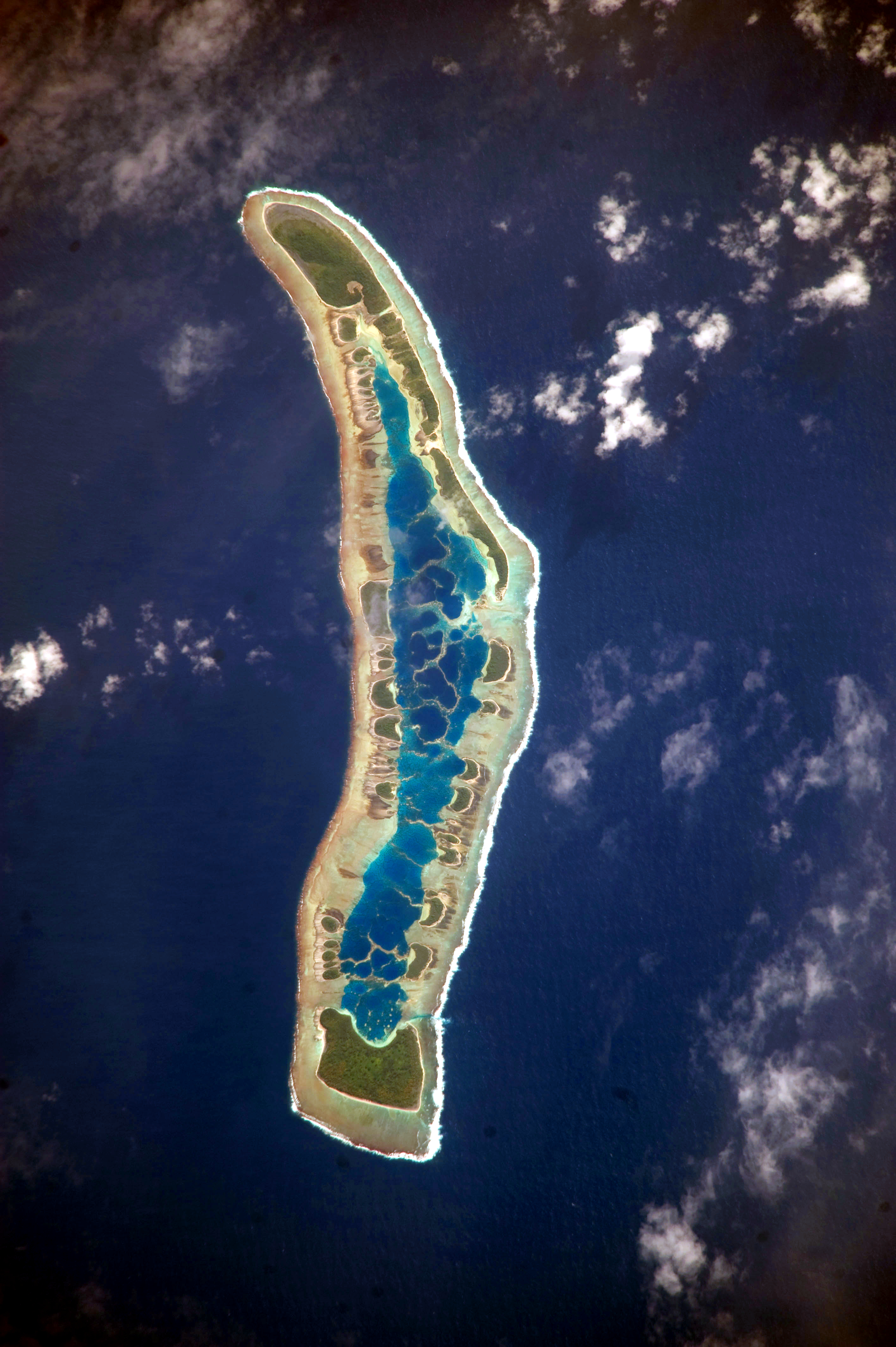
English: The islets of Millennium Island are readily visible in this astronaut photograph as irregular green vegetated areas surrounding the inner lagoon. The shallow lagoon waters are a lighter blue than the deeper surrounding ocean water; tan linear “fingers” within the lagoon are the tops of corals. The two largest islets are Nake Islet and South Islet, located at the north and south ends of Millennium Island respectively.
Français : Vue satellite de l'île du Millénaire dans les Kiribati, où l'on peut distinguer ses différents îlots, son lagon intérieur où des couleurs plus claires indiquent une profondeur plus faible ainsi que sa végétation dense sur certains îlots.
|
||||||||||||||||||||||||||||||||||||||||||||||||||||||
| Data | |||||||||||||||||||||||||||||||||||||||||||||||||||||||
| Font | NASA Earth Observatory | ||||||||||||||||||||||||||||||||||||||||||||||||||||||
| Autor | Image taken by the NASA Expedition 20 crew | ||||||||||||||||||||||||||||||||||||||||||||||||||||||
| Posició de la càmera | | Aquesta i altres imatges properes a: OpenStreetMap |
|---|
Aquest fitxer ha estat catalogat per Johnson Space Center dels Estats Units d'Amèrica per a l'Administració Nacional d'Aeronàutica i de l'Espai (NASA)en virtut identificat com a: ID del fitxer : ISS020-E-16279.Els ID dels fitxers i ID alternatius són traduïts de Photo ID .Aquesta etiqueta no indica l'estat dels drets d'autor de la imatge carregada. Cal un senyal de drets d'autor. Vegeu Commons:Sobre les llicències. Altres idiomes:
|
This image was acquired with a Nikon D3 digital camera fitted with an 800 mm lens, and is provided by the ISS Crew Earth Observations experiment and Image Science & Analysis Laboratory, Johnson Space Center. Instrument: ISS - Digital Camera
Llicència
| Aquest fitxer és en el domini públic perquè ha estat creat per la NASA. L'avís legal de la NASA diu que «el material de la NASA no està protegit per copyright si no es diu el contrari». (NASA copyright policy page o JPL Image Use Policy). | ||
 |
Atenció:
|
Historial del fitxer
Cliqueu una data/hora per veure el fitxer tal com era aleshores.
| Data/hora | Miniatura | Dimensions | Usuari/a | Comentari | |
|---|---|---|---|---|---|
| actual | 14:04, 13 juny 2017 | | 2.832 × 4.256 (6,48 Mo) | SteinsplitterBot | Bot: Image rotated by 90° |
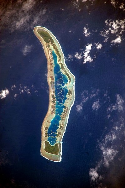
| 11:34, 5 oct 2010 |  | 4.256 × 2.832 (6,47 Mo) | Originalwana | higher res | |
| 11:56, 13 jul 2009 |  | 1.000 × 624 (486 Ko) | Originalwana | {{Information |Description={{en|1=The islets of Millennium Island are readily visible in this astronaut photograph as irregular green vegetated areas surrounding the inner lagoon. The shallow lagoon waters are a lighter blue than the deeper surrounding oc |
Ús del fitxer
La pàgina següent utilitza aquest fitxer:
Ús global del fitxer
Utilització d'aquest fitxer en altres wikis:
- Utilització a ar.wikipedia.org
- Utilització a be.wikipedia.org
- Utilització a en.wikipedia.org
- Utilització a et.wikipedia.org
- Utilització a fr.wikipedia.org
- Utilització a hr.wikipedia.org
- Utilització a id.wikipedia.org
- Utilització a pl.wikipedia.org
- Utilització a pt.wikipedia.org
- Utilització a ru.wikipedia.org
- Utilització a th.wikipedia.org
- Utilització a tr.wikipedia.org
- Utilització a vi.wikipedia.org