
Fitxer:Norway Møre og Romsdal location map.svg

Fitxer original (fitxer SVG, nominalment 1.134 × 850 píxels, mida del fitxer: 199 Ko)
| Aquest fitxer i la informació mostrada a continuació provenen del dipòsit multimèdia lliure Wikimedia Commons. |
Resum
| Descripció |
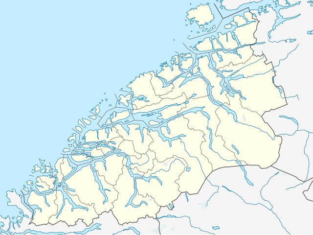
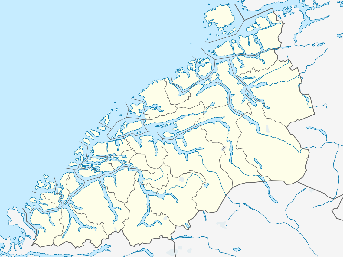
Quadratische Plattkarte, N-S-Streckung 220 %. Geographische Begrenzung der Karte:
Equirectangular projection, N/S stretching 220 %. Geographic limits of the map:
|
|
| Data | ||
| Font |
Treball propi, using
|
|
| Autor | NordNordWest | |
| Permís (Com reutilitzar aquest fitxer) |
Aquest fitxer està publicat sota la llicència de Creative Commons Reconeixement i Compartir Igual 3.0 Alemanya.
 Aquest fitxer està subjecte a la llicència de Creative Commons Reconeixement i Compartir Igual 3.0 No adaptada.
|


|
This map has been made or improved in the German Kartenwerkstatt (Map Lab). You can propose maps to improve as well.
|
Historial del fitxer
Cliqueu una data/hora per veure el fitxer tal com era aleshores.
| Data/hora | Miniatura | Dimensions | Usuari/a | Comentari | |
|---|---|---|---|---|---|
| actual | 20:28, 18 març 2019 | | 1.134 × 850 (199 Ko) | NordNordWest | upd 2019 |
| 22:05, 1 oct 2012 |  | 1.134 × 850 (211 Ko) | Jon Harald Søby | adding border between Surnadal and Rindal | |
| 22:15, 30 jul 2011 |  | 1.134 × 850 (203 Ko) | NordNordWest | =={{int:filedesc}}== {{Information |Description= {{de|Positionskarte von Møre og Romsdal, Norwegen}} Quadratische Plattkarte, N-S-Streckung 220 %. Geographische Begrenzung der Karte: * N: 63.5° N * S: 61.9° N * |
Ús del fitxer
No hi ha pàgines que utilitzin aquest fitxer.
Ús global del fitxer
Utilització d'aquest fitxer en altres wikis:
- Utilització a ar.wikipedia.org
- Utilització a ba.wikipedia.org
- Utilització a bg.wikipedia.org
- Utilització a ceb.wikipedia.org
- Utilització a cs.wikipedia.org
- Utilització a da.wikipedia.org
- Slogen
- Hjørundfjorden
- Brattvåg
- Trollveggen
- Trolltinderne
- Romsdalshorn
- Kvernesfjorden
- Kolåstinden
- Hornindalsrokken
- Skårasalen
- Ulsteinvik
- Skabelon:Kortpositioner Norge Møre og Romsdal
- Døntefossen
- Grodås
- Hessa
- Ertvågsøen
- Vinjefjorden (Nordmøre)
- Batnfjordsøra
- Sjøholt
- Surnadalsfjorden
- Stigfossen
- Trollfossen
- Bolgvatnet
- Storvatnet (Tingvoll)
- Vanylvsfjorden
- Årvågfjorden
- Edøyfjorden
- Foldfjorden
- Breifjorden
- Hamnesfjorden
- Stangvikfjorden
- Ålvundfjorden
- Korsnesfjorden
- Arasvikfjorden
- Freifjorden
Vegeu més usos globals d'aquest fitxer.