
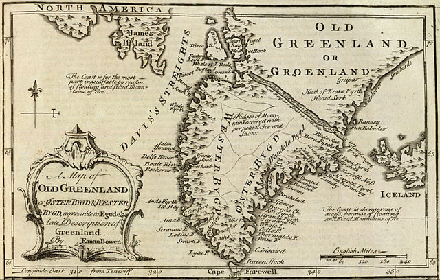
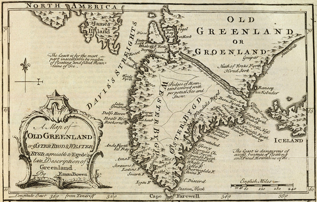
Fitxer:Old Greenland 1747.jpg

Fitxer original (2.048 × 1.307 píxels, mida del fitxer: 2,23 Mo, tipus MIME: image/jpeg)
| Aquest fitxer i la informació mostrada a continuació provenen del dipòsit multimèdia lliure Wikimedia Commons. |
Resum
| Descripció |
English: Cropped and rotated from the original.
|
| Data | |
| Font | David Rumsey Collection |
| Autor | Emanuel Bowen (c. 1694–1767) |
Llicència
|
Això és una mera fotografia d'una obra d'art bidimensional en domini públic. L'obra d'art original és en domini públic pel següent motiu:
La posició oficial de la Fundació Wikimedia és que «les reproduccions fidels d'obres d'art bidimensionals de domini públic són en domini públic».
Per tant, aquesta reproducció fotogràfica també es considera en domini públic als Estats Units. En altres jurisdiccions la reutilització d'aquest contingut pot estar restringida; vegeu Reuse of PD-Art photographs per a més informació. | ||||
Historial del fitxer
Cliqueu una data/hora per veure el fitxer tal com era aleshores.
| Data/hora | Miniatura | Dimensions | Usuari/a | Comentari | |
|---|---|---|---|---|---|
| actual | 17:21, 10 maig 2012 | | 2.048 × 1.307 (2,23 Mo) | LlywelynII |
Ús del fitxer
Les 2 pàgines següents utilitzen aquest fitxer:
Ús global del fitxer
Utilització d'aquest fitxer en altres wikis:
- Utilització a af.wikipedia.org
- Utilització a ar.wikipedia.org
- Utilització a bs.wikipedia.org
- Utilització a ceb.wikipedia.org
- Utilització a cs.wikipedia.org
- Utilització a en.wikipedia.org
- Utilització a es.wikipedia.org
- Utilització a fa.wikipedia.org
- Utilització a fy.wikipedia.org
- Utilització a io.wikipedia.org
- Utilització a ko.wikipedia.org
- Utilització a pt.wikipedia.org
- Utilització a sv.wikipedia.org
- Utilització a te.wikipedia.org
- Utilització a tr.wikipedia.org
- Utilització a uk.wikipedia.org
- Utilització a www.wikidata.org
- Utilització a zh.wikipedia.org