
Fitxer:Russia rel location map.png

Mida d'aquesta previsualització: 800 × 440 píxels. Altres resolucions: 320 × 176 píxels | 640 × 352 píxels | 1.024 × 563 píxels | 1.280 × 704 píxels | 2.362 × 1.299 píxels.
Fitxer original (2.362 × 1.299 píxels, mida del fitxer: 5,15 Mo, tipus MIME: image/png)
| Aquest fitxer i la informació mostrada a continuació provenen del dipòsit multimèdia lliure Wikimedia Commons. |
Resum
| Descripció |
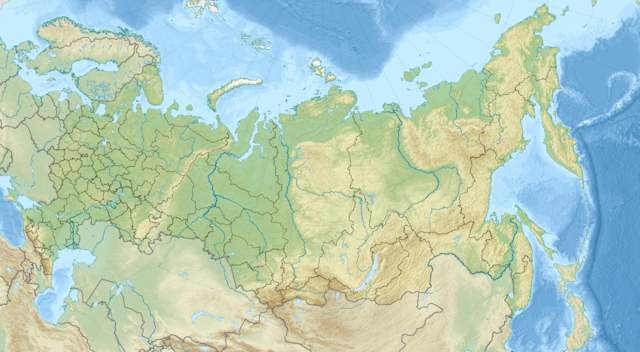
Deutsch: Positionskarte von Russland
English: Location map of Russia
|
||||||||||||
| Data | |||||||||||||
| Font | Treball propi | ||||||||||||
| Autor | Uwe Dedering | ||||||||||||

|
This map has been made or improved in the German Kartenwerkstatt (Map Lab). You can propose maps to improve as well.
|
Llicència
Jo, el titular dels drets d'autor d'aquest treball, el public sota la següent llicència:
This file is licensed under the Creative Commons Attribution-Share Alike 4.0 International license.
- Sou lliure de:
- compartir – copiar, distribuir i comunicar públicament l'obra
- adaptar – fer-ne obres derivades
- Amb les condicions següents:
- reconeixement – Heu de donar la informació adequada sobre l'autor, proporcionar un enllaç a la llicència i indicar si s'han realitzat canvis. Podeu fer-ho amb qualsevol mitjà raonable, però de cap manera no suggereixi que l'autor us dóna suport o aprova l'ús que en feu.
- compartir igual – Si modifiqueu, transformeu, o generareu amb el material, haureu de distribuir les vostres contribucions sota una llicència similar o una de compatible com l'original
Historial del fitxer
Cliqueu una data/hora per veure el fitxer tal com era aleshores.
| Data/hora | Miniatura | Dimensions | Usuari/a | Comentari | |
|---|---|---|---|---|---|
| actual | 15:38, 11 nov 2014 | | 2.362 × 1.299 (5,15 Mo) | Uwe Dedering | a lot of minor changes, see File talk:Russia adm location map.svg |
| 11:40, 10 nov 2014 |  | 2.362 × 1.299 (5,14 Mo) | Uwe Dedering | non-countries | |
| 12:41, 9 oct 2014 |  | 2.362 × 1.299 (5,14 Mo) | Uwe Dedering | User created page with UploadWizard |
Ús del fitxer
Les 3 pàgines següents utilitzen aquest fitxer:
Ús global del fitxer
Utilització d'aquest fitxer en altres wikis:
- Utilització a azb.wikipedia.org
- Utilització a bg.wikipedia.org
- Байкал
- Сахалин
- Урал (планина)
- Катайск
- Абаза
- Яя (Русия)
- Яшкино
- Томск
- Уфа
- Тикси
- Улан Уде
- Капустин Яр
- Новосибирск
- Петропавловск Камчатски
- Владивосток
- Комсомолск на Амур
- Благовешченск
- Магадан
- Южносахалинск
- Москва Сити
- Омск
- Нова земя
- Красноярск
- Барнаул
- Иркутск
- Хабаровск
- Грозни
- Новокузнецк
- Тюмен
- Кемерово
- Лена
- Биробиджан
- Няган
- Курган (град)
- Чита
- Шаблон:ПК Русия
- Горно-Алтайск
- Абакан
- Якутск
- Сургут
- Братск
- Нефтеюганск
- Новоалтайск
- Тулун
- Усурийск
- Ишимбай
- Колски полуостров
Vegeu més usos globals d'aquest fitxer.