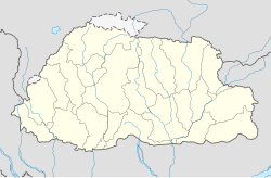
Mòdul:Location map/data/Bhutan
A continuació es mostra la documentació transclosa de la subpàgina /ús. [salta a la caixa de codi]
| nom | Bhutan | |||
|---|---|---|---|---|
| coordenades de les vores | ||||
| 28.5 | ||||
| 88.6 | ←↕→ | 92.3 | ||
| 26.4 | ||||
| centre del mapa | 27° 27′ N, 90° 27′ E / 27.45°N,90.45°E | |||
| imatge | Bhutan location map.svg
| |||

| ||||
| imatge1 | Bhutan relief map.svg
| |||

| ||||
| imatge2 | Bhutan physical map.svg
| |||

| ||||
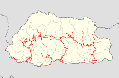
| imatge3 | Bhutan highways blank location map.png
| |||
| ||||
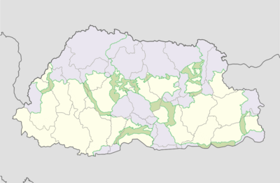
| imatge4 | Bhutan protected areas location map.png
| |||
| ||||
| imatge5 | Jigme Dorji protected area location map.png
| |||

| ||||
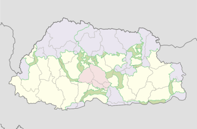
| imatge6 | Jigme Singye protected area location map.png
| |||
| ||||
| imatge7 | Khaling protected area location map.png
| |||

| ||||
| imatge8 | Phibsoo protected area location map.png
| |||

| ||||
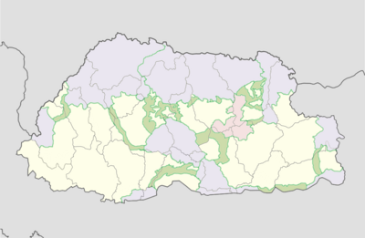
| imatge9 | Thrumshingla protected area location map.png
| |||
| ||||
| imatge10 | Torsa protected area location map.png
| |||

| ||||
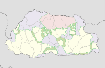
| imatge11 | Wangchuck Centennial protected area location map.png
| |||
| ||||

Mòdul:Location map/data/Bhutan és una definició de mapa geogràfic que s'utilitza per superposar marcadors i etiquetes en un mapa de projecció cilíndrica equidistant de Bhutan. Els marcadors es col·loquen per cordenades amb latitud i longitud al mapa predeterminat o en una imatge de mapa similar.
Ús
Aquestes definicions les fan servir les plantilles següents quan s'invoquen amb un paràmetre "Bhutan":
{{Location map|Bhutan |...}}{{Location map many|Bhutan |...}}{{Location map+|Bhutan |...}}{{Location map~|Bhutan |...}}
Definició del mapa
name = Bhutan- Nom utilitzat al subtítol del mapa predeterminat
image = Bhutan location map.svg- La imatge del mapa predeterminada, sense "Image:" o "File:"
image1 = Bhutan relief map.svg- Una imatge de mapa alternativa, normalment un mapa en relleu, que es pot mostrar mitjançant els paràmetres relief o AlternativeMap
image2 = Bhutan physical map.svgimage3 = Bhutan highways blank location map.pngimage4 = Bhutan protected areas location map.png- Imatges de mapa alternatiu que es pot visualitzar mitjançant el paràmetre AlternativeMap
top = 28.5- Latitud a la vora superior del mapa, en graus decimals
bottom = 26.4- Latitud a la vora inferior del mapa, en graus decimals
left = 88.6- Longitud a la vora esquerra del mapa, en graus decimals
right = 92.3- Longitud a la vora dreta del mapa, en graus decimals
Mapa alternatiu
Les plantilles {{Location map}}, {{Location map many}}, i {{Location map+}} tenen paràmetres per especificar una imatge de mapa alternativa. El mapa que es mostra com a image1 es pot utilitzar amb els paràmetres relief (relleu)) o AlternativeMap (mapa alternatiu). El mapas mostra com image2 / image3 / image4 es pot utilitzar amb el paràmetre AlternativeMap. Es poden trobar exemples a continuació o en el següent:
- Plantilla:Location map/ús#Paràmetre relief (relleu)
- Plantilla:Location map+/relief
- Plantilla:Location map/ús#Paràmetre AlternativeMap (mapa alternatiu)
- Plantilla:Location map+/AlternativeMap
Precisió
Longitud: d'oest a est aquesta definició del mapa cobreix 3.7 graus.
- En una amplada d'imatge de 200 píxels, això és 0.0185 graus per píxel.
- En una amplada d'imatge de 1000 pixels, això és 0.0037 graus per píxel.
Latitud: de nord a sud aquesta definició del mapa cobreix 2.1 graus.
- En una alçada d'imatge de 200 pixels, això és 0.0105 graus per píxel.
- En una alçada d'imatge de 1000 pixels, això és 0.0021 graus per píxel.
Exemples amb plantilles de mapes geogràfics
Location map, using default map (image)
{{Location map | Bhutan
| width   = 250
| lat_deg = 27.47
| lon_deg = 89.64
| label   = Thimphu
}}
Location map many, using relief map (image1)
{{Location map many | Bhutan
| relief   = yes
| width    = 250
| caption  = Two locations in Bhutan
| lat1_deg = 27.47
| lon1_deg = 89.64
| label1   = Thimphu
| lat2_deg = 26.85
| lon2_deg = 89.38
| label2   = Phuntsholing
}}
Location map+, using AlternativeMap
{{Location map+ | Bhutan
| AlternativeMap = Bhutan physical map.svg
| caption = Two locations in Bhutan
| width   = 250
| places  =
  {{Location map~ | Bhutan
  | lat_deg = 27.47
  | lon_deg = 89.64
  | label   = Thimphu
  }}
  {{Location map~ | Bhutan
  | lat_deg = 26.85
  | lon_deg = 89.38
  | label   = Phuntsholing
  }}
}}
Vegeu també
Plantilles de mapes
- Plantilla:Location map, per mostrar una marca i una etiqueta utilitzant la latitud i la longitud
- Plantilla:Location map many, per mostrar fins a nou marques i etiquetes
- Plantilla:Location map+, per mostrar un nombre il·limitat de marques i etiquetes
Creació de noves definicions de mapes
return {
	name = 'Bhutan',
	top = 28.5,
	bottom = 26.4,
	left = 88.6,
	right = 92.3,
	image = 'Bhutan location map.svg ',
	image1 = 'Bhutan relief map.svg',
	image2 = 'Bhutan physical map.svg',
	image3 = 'Bhutan highways blank location map.png',
	image4 = 'Bhutan protected areas location map.png',
	image5 = 'Jigme Dorji protected area location map.png',
	image6 = 'Jigme Singye protected area location map.png',
	image7 = 'Khaling protected area location map.png',
	image8 = 'Phibsoo protected area location map.png',
	image9 = 'Royal Manas protected area location map.png',
	image9 = 'Thrumshingla protected area location map.png',
	image10 = 'Torsa protected area location map.png',
	image11 = 'Wangchuck Centennial protected area location map.png'
}

