De la Viquipèdia, l'enciclopèdia lliure
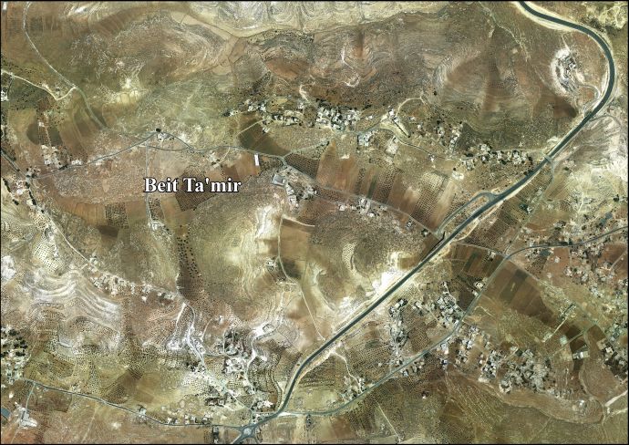
Beit Ta'mir (àrab: خربة بيت تعمر, Ḫirbat Bayt Taʿmir) és una vila de la governació de Betlem, al centre de Cisjordània, situada 6 kilòmetres al sud-oest de Betlem. Segons l'Oficina Central d'Estadístiques de Palestina (PCBS), tenia una població de 1.547 habitants en 2016.[1] La vila rep el nom per la tribu beduïna 'Arab al-Ta'mira de l'àrea de Betlem, i amb Tuqu' i Za'atara forma el grup de viles 'Arab al-Ta'mira.
- Barron, J. B.. Palestine: Report and General Abstracts of the Census of 1922. Government of Palestine, 1923.
- Conder, Claude Reignier; Kitchener, H.H.. The Survey of Western Palestine: Memoirs of the Topography, Orography, Hydrography, and Archaeology. 3. Londres: Committee of the Palestine Exploration Fund, 1883. (p. 29)
- Guérin, V. Description Géographique Historique et Archéologique de la Palestine (en francès). 1: Judee, pt. 3. París: L'Imprimerie Nationale, 1869.
- Hadawi, S.. Village Statistics of 1945: A Classification of Land and Area ownership in Palestine. Palestine Liberation Organization Research Center, 1970.
- Kitchener, H.H. «Lieutenant Kitchener's Report». Quarterly statement - Palestine Exploration Fund, 9, 1877, pàg. 165–178. (p. 100)
- Mills, E.. Census of Palestine 1931. Population of Villages, Towns and Administrative Areas. Jerusalem: Government of Palestine, 1932.
- Palmer, E.H.. The Survey of Western Palestine: Arabic and English Name Lists Collected During the Survey by Lieutenants Conder and Kitchener, R. E. Transliterated and Explained by E.H. Palmer. Committee of the Palestine Exploration Fund, 1881. (p. 287)
- Schick, C. «Zur Einwohnerzahl des Bezirks Jerusalem». Zeitschrift des Deutschen Palästina-Vereins, 19, 1896, pàg. 120–127. (p. 127)
- Socin, A. «Alphabetisches Verzeichniss von Ortschaften des Paschalik Jerusalem». Zeitschrift des Deutschen Palästina-Vereins, 2, 1879, pàg. 135–163. (p. 147)
Enllaços externs[modifica]


