
Fitxer:Alcatraz11.JPEG

Fitxer original (1.024 × 768 píxels, mida del fitxer: 296 Ko, tipus MIME: image/jpeg)
| Aquest fitxer i la informació mostrada a continuació provenen del dipòsit multimèdia lliure Wikimedia Commons. |
| S'ha alliberat aquesta obra al domini públic pel seu autor Jon Sullivan (PD Photo.org). Això s'aplica a tot el món. En alguns països això pot no ser legalment possible, en tal cas: Jon Sullivan (PD Photo.org) concedeix a tothom el dret d'usar aquesta obra per a qualsevol propòsit, sense cap condició llevat d'aquelles requerides per la llei.
|
| Details | ||
|---|---|---|
|
|
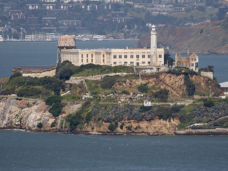
This is an image of a place or building that is listed on the National Register of Historic Places in the United States of America. Its reference number is 76000209. |
Downloaded from : http://pdphoto.org/PictureDetail.php?mat=pdef&pg=8367 archive copy at the Wayback Machine
Credits : PD Photo.org
This image is public domain. You may use this image for any purpose, including commercial.
| Posició de l'objecte | | Aquesta i altres imatges properes a: OpenStreetMap |
|---|
Historial del fitxer
Cliqueu una data/hora per veure el fitxer tal com era aleshores.
| Data/hora | Miniatura | Dimensions | Usuari/a | Comentari | |
|---|---|---|---|---|---|
| actual | 16:49, 10 jul 2005 | | 1.024 × 768 (296 Ko) | JoJan | {{PD}} |
Ús del fitxer
Les 2 pàgines següents utilitzen aquest fitxer:
Ús global del fitxer
Utilització d'aquest fitxer en altres wikis:
- Utilització a an.wikipedia.org
- Utilització a ast.wikipedia.org
- Utilització a ay.wikipedia.org
- Utilització a bg.wikipedia.org
- Utilització a bn.wikipedia.org
- Utilització a de.wikipedia.org
- Utilització a el.wikipedia.org
- Utilització a en.wikipedia.org
- Utilització a en.wikibooks.org
- Utilització a es.wikipedia.org
- Utilització a es.wikiquote.org
- Utilització a fr.wikivoyage.org
- Utilització a gan.wikipedia.org
- Utilització a he.wikipedia.org
- Utilització a hu.wikipedia.org
- Utilització a is.wikipedia.org
- Utilització a it.wikipedia.org
- Al Capone
- Alcatraz
- James B. McPherson
- Arthur Barker
- Joseph Bowers
- Henri Young
- Rufus McCain
- Robert Stroud
- James A. Johnston
- Ralph Roe
- Theodore Cole
- John Giles
- Bernard Coy
- Sam Shockley
- Battaglia di Alcatraz
- Victor Lustig
- James Bulger
- Prigione di Alcatraz
- Bumpy Johnson
- Template:Isola di Alcatraz
- Fort Alcatraz
- General McPherson (nave)
- Tentativo di fuga da Alcatraz del giugno del 1962
- Ospedale di Alcatraz
Vegeu més usos globals d'aquest fitxer.