
Fitxer:明石海峡大橋 - panoramio (1).jpg

Mida d'aquesta previsualització: 800 × 533 píxels. Altres resolucions: 320 × 213 píxels | 640 × 427 píxels | 1.024 × 683 píxels | 1.280 × 853 píxels | 2.640 × 1.760 píxels.
Fitxer original (2.640 × 1.760 píxels, mida del fitxer: 3,43 Mo, tipus MIME: image/jpeg)
| Aquest fitxer i la informació mostrada a continuació provenen del dipòsit multimèdia lliure Wikimedia Commons. |
Resum
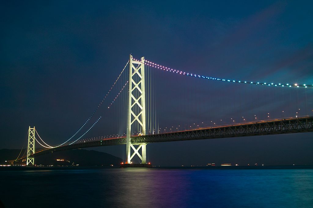
| Descripció | 明石海峡大橋 | |||||
| Data | Taken on 24 de juny de 2010 | |||||
| Font | https://web.archive.org/web/20161022040607/http://www.panoramio.com/photo/51502327 | |||||
| Autor | clear_and_sunny | |||||
| Permís (Com reutilitzar aquest fitxer) |
Aquest fitxer està subjecte a la llicència de Creative Commons Reconeixement 3.0 No adaptada. Reconeixement: clear_and_sunny
|
|||||
| Altres versions | ||||||
| Tags (from Panoramio photo page) | Tarumi-ku, DP2, night |


_(cropped).jpg)
.jpg?uselang=ca)
| Posició de l'objecte | | Aquesta i altres imatges properes a: OpenStreetMap |
|---|
.jpg¶ms=034.616200_N_0135.020500_E_globe:Earth_class:object_type:object__&language=ca)
| Posició de la càmera | | Aquesta i altres imatges properes a: OpenStreetMap |
|---|
.jpg¶ms=034.629332_N_0135.037047_E_globe:Earth_type:camera_source:Panoramio_&language=ca)
Historial del fitxer
Cliqueu una data/hora per veure el fitxer tal com era aleshores.
| Data/hora | Miniatura | Dimensions | Usuari/a | Comentari | |
|---|---|---|---|---|---|
| actual | 16:34, 20 nov 2016 | | 2.640 × 1.760 (3,43 Mo) | Panoramio upload bot | == {{int:filedesc}} == {{Information |description=明石海峡大橋 |date={{Taken on|2010-06-24}} |source=http://www.panoramio.com/photo/51502327 |author=[http://www.panoramio.com/user/2651412?with_photo_id=51502327 clear_and_sunny] |permission={{cc-b... |
Ús del fitxer
La pàgina següent utilitza aquest fitxer:
Ús global del fitxer
Utilització d'aquest fitxer en altres wikis:
- Utilització a eu.wikipedia.org
- Utilització a ga.wikipedia.org
- Utilització a ja.wikipedia.org
- Utilització a ko.wikipedia.org
- Utilització a my.wikipedia.org
- Utilització a uk.wikipedia.org
- Utilització a www.wikidata.org
.jpg)