
Fitxer:Alaska patterned ground 1973.jpg
Fitxer original (2.907 × 1.932 píxels, mida del fitxer: 1,35 Mo, tipus MIME: image/jpeg)
| Aquest fitxer i la informació mostrada a continuació provenen del dipòsit multimèdia lliure Wikimedia Commons. |
| Això és una imatge retocada, cosa que vol dir que ha estat alterada digitalment de la seva versió original. Modificacions: {{{1}}}. L'original es pot veure a: PATTERNED GROUND SHOWS ICE POLYGONS (LATTICE OUTLINES) AND TYPICAL SUMMER ARCTIC TUNDRA. PATTERNED GROUND, ICE... - NARA - 550392.jpg:
|
_AND_TYPICAL_SUMMER_ARCTIC_TUNDRA._PATTERNED_GROUND,_ICE..._-_NARA_-_550392.jpg)
Resum
| Descripció |
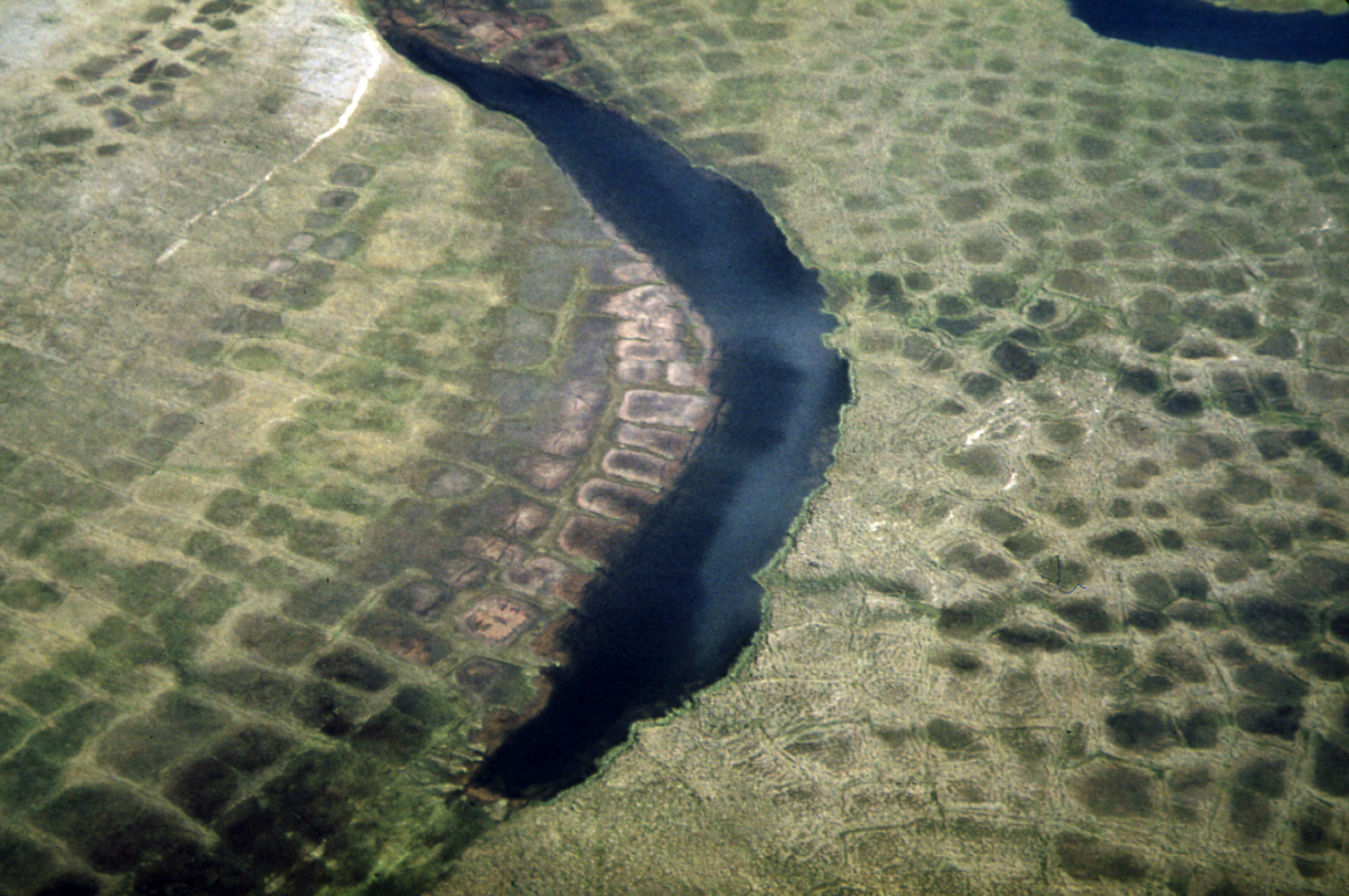
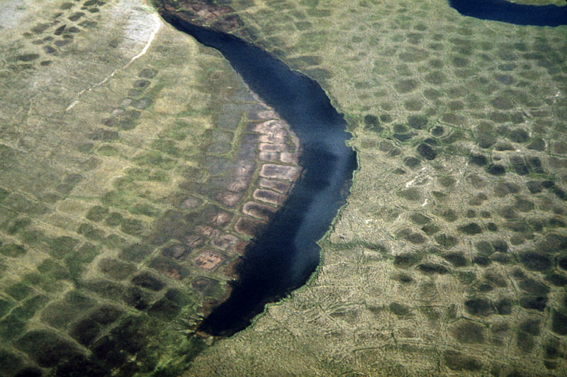
English: Patterned Ground Shows Ice Polygons (Lattice Outlines) and Typical Summer Arctic Tundra. Patterned Ground, Ice Polygons, and Permafrost Are Found Along the Entire Route of the Line, Although They Are Relatively Rare South of the Yukon River. Alaska (US state). Environmental Protection Agency, Project DOCUMERICA. |
|||
| Data | ||||
| Font |
Patterned Ground Shows Ice Polygons (Lattice Outlines) and Typical Summer Arctic Tundra...08/1973 (https://arcweb.archives.gov/arc/action/ExternalIdSearch?id=550392 Persistent URL).
|
|||
| Autor | Dennis Cowals (1945-) | |||
| Altres versions |
For information about ordering reproductions of photographs held by the Still Picture Unit, visit: www.archives.gov/research/order/still-pictures.html Reproductions may be ordered via an independent vendor. NARA maintains a list of vendors at www.archives.gov/research/order/vendors-photos-maps-dc.html Buy copies of selected National Archives photographs and documents at the National Archives Print Shop online: http://gallery.pictopia.com/natf/photo/ |
Llicència
This image was taken from Flickr's The Commons. The uploading organization may have various reasons for determining that no known copyright restrictions exist, such as:
More information can be found at https://flickr.com/commons/usage/. Please add additional copyright tags to this image if more specific information about copyright status can be determined. See Commons:Licensing for more information. |
| Aquesta imatge, originalment publicada a Flickr, ha estat verificada el 4 de maig de 2011 per l'administrador o usuari acreditat Logan, i ha confirmat que en aquella data estava disponible a Flickr sota la llicència indicada. |
Historial del fitxer
Cliqueu una data/hora per veure el fitxer tal com era aleshores.
| Data/hora | Miniatura | Dimensions | Usuari/a | Comentari | |
|---|---|---|---|---|---|
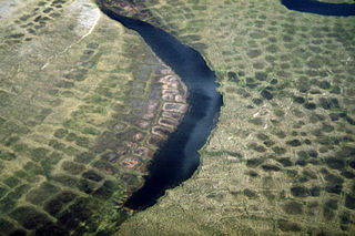
| actual | 00:20, 29 juny 2011 | | 2.907 × 1.932 (1,35 Mo) | Hohum | Cropped, colour correction (compared to other Arctic tundra polygons) |
| 02:31, 4 maig 2011 |  | 3.000 × 2.018 (1,06 Mo) | Logan | {{Information |Description='''Original Caption:''' Patterned Ground Shows Ice Polygons (Lattice Outlines) and Typical Summer Arctic Tundra. Patterned Ground, Ice Polygons, and Permafrost Are Found Along the Entire Route of the Line, Although They Are Rela |
Ús del fitxer
La pàgina següent utilitza aquest fitxer:
Ús global del fitxer
Utilització d'aquest fitxer en altres wikis:
- Utilització a bh.wikipedia.org
- Utilització a cs.wikipedia.org
- Utilització a en.wikipedia.org
- Utilització a fr.wikipedia.org
- Utilització a ja.wikipedia.org
- Utilització a kw.wikipedia.org
- Utilització a pl.wikipedia.org
- Utilització a zh.wikipedia.org