
Fitxer:British bechuanaland 1887.jpg

Fitxer original (1.644 × 1.627 píxels, mida del fitxer: 181 Ko, tipus MIME: image/jpeg)
| Aquest fitxer i la informació mostrada a continuació provenen del dipòsit multimèdia lliure Wikimedia Commons. |
Resum
| Descripció |
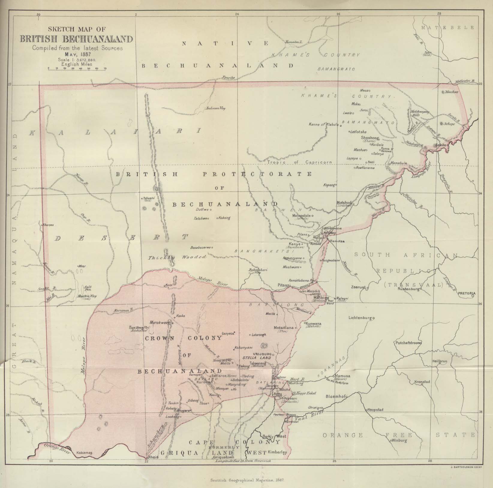
Deutsch: Karte von Betschuanaland, Mai 1887.
English: Sketch Map of British Bechuanaland, May 1887. |
| Data | |
| Font |
The Scottish Geographical Magazine. Published by the Scottish Geographical Society and edited by Arthur Silva White. Volume III, 1887. |
| Autor | John George Bartholomew |
Llicència
|
Aquest material està en domini públic als Estats Units i als altres països on el dret d'autor s'estén per 70 anys (o menys) després de la mort de l'autor.
| |
| Aquest fitxer està identificat com a lliure de restriccions conegudes sota la llei de drets d'autor, inclosos els drets veïns. | |
Historial del fitxer
Cliqueu una data/hora per veure el fitxer tal com era aleshores.
| Data/hora | Miniatura | Dimensions | Usuari/a | Comentari | |
|---|---|---|---|---|---|
| actual | 23:09, 24 ago 2005 | | 1.644 × 1.627 (181 Ko) | Atamari | British bechuanaland (1887) {{PD-old}} * source from http://www.lib.utexas.edu/maps/historical/british_bechuanaland_1887.jpg * "Sketch Map of British Bechuanaland, May 1887" from the Scottish Geographical Magazine. Published by the Scottish Geographical |
Ús del fitxer
Les 2 pàgines següents utilitzen aquest fitxer:
Ús global del fitxer
Utilització d'aquest fitxer en altres wikis:
- Utilització a af.wikipedia.org
- Utilització a ast.wikipedia.org
- Utilització a da.wikipedia.org
- Utilització a de.wikipedia.org
- Utilització a en.wikipedia.org
- Utilització a eo.wikipedia.org
- Utilització a es.wikipedia.org
- Utilització a et.wikipedia.org
- Utilització a fr.wikipedia.org
- Utilització a id.wikipedia.org
- Utilització a it.wikipedia.org
- Utilització a ja.wikipedia.org
- Utilització a no.wikipedia.org
- Utilització a pl.wikipedia.org
- Utilització a pt.wikipedia.org
- Utilització a pt.wikibooks.org
- Utilització a ru.wikipedia.org
- Utilització a sv.wikipedia.org
- Utilització a uk.wikipedia.org
- Utilització a www.wikidata.org
- Utilització a wuu.wikipedia.org
- Utilització a zh.wikipedia.org