
Fitxer:CIS mapwithnumbers.png
Mida d'aquesta previsualització: 800 × 547 píxels. Altres resolucions: 320 × 219 píxels | 640 × 438 píxels | 1.024 × 701 píxels | 1.356 × 928 píxels.
Fitxer original (1.356 × 928 píxels, mida del fitxer: 62 Ko, tipus MIME: image/png)
| Aquest fitxer i la informació mostrada a continuació provenen del dipòsit multimèdia lliure Wikimedia Commons. |
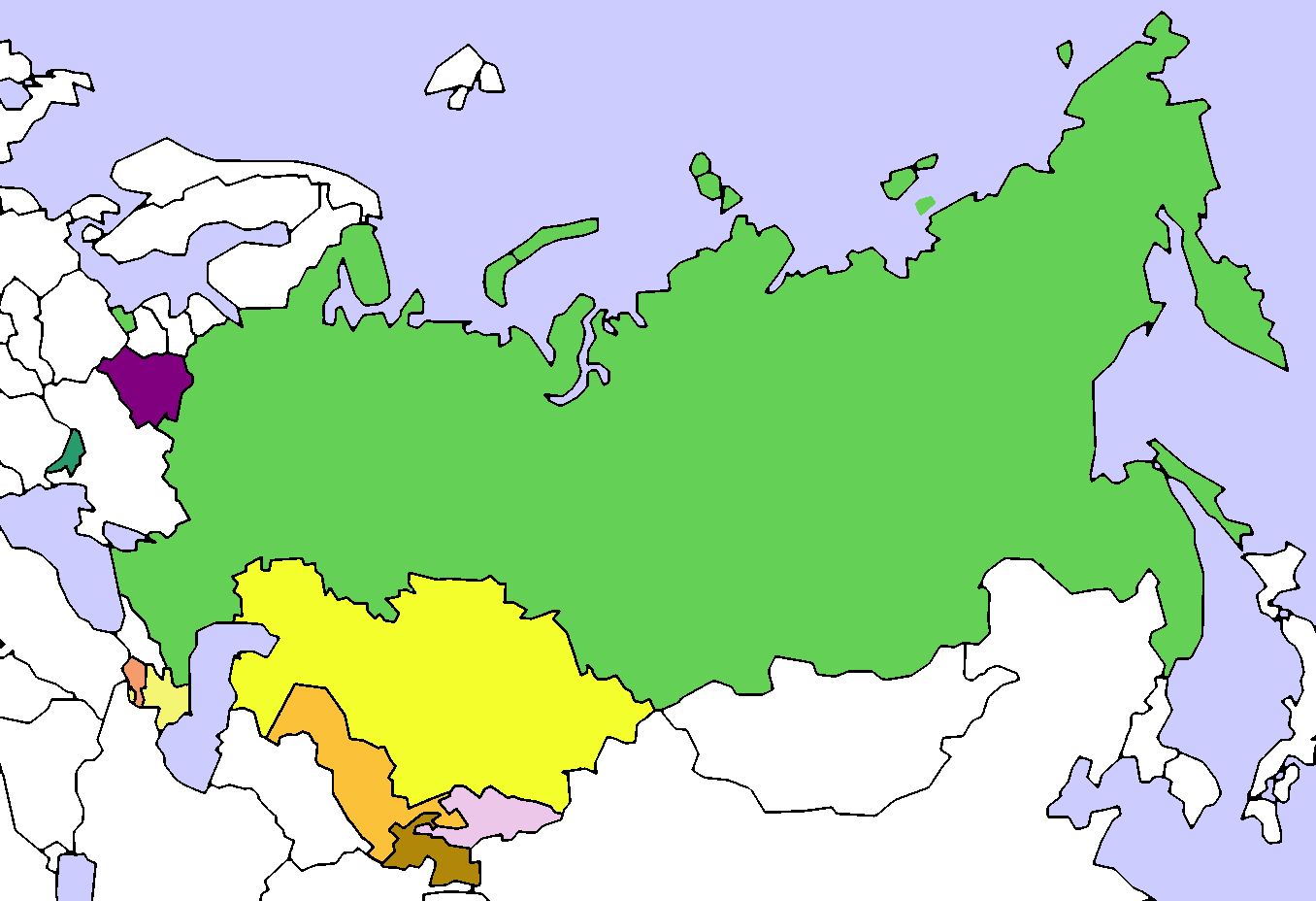
| Descripció | Map of the Commonwealth of Independent States (CIS). Created by User:Aris Katsaris, based on Image:Soviet Union Map.png |
| Data | (UTC) |
| Font | |
| Autor |
|
| Això és una imatge retocada, cosa que vol dir que ha estat alterada digitalment de la seva versió original. Modificacions: added colours and numbers. L'original es pot veure a: CIS Map.png:
|
Jo, el titular dels drets d'autor d'aquest treball, el public sota la següent llicència:

|
S'autoritza la còpia, la distribució i la modificació d'aquest document sota els termes de la llicència de documentació lliure GNU versió 1.2 o qualsevol altra versió posterior que publiqui la Free Software Foundation; sense seccions invariants, ni textos de portada, ni textos de contraportada. S'inclou una còpia d'aquesta llicència en la secció titulada GNU Free Documentation License. |
| Aquest fitxer està subjecte a la llicència de Creative Commons Reconeixement i Compartir Igual 3.0 No adaptada. | ||
| ||
| Aquest avís de llicència s'ha afegit a aquest fitxer d'acord amb l'actualització de la llicència GFDL. |
Registre original de càrregues
This image is a derivative work of the following images:
- File:_CIS_Map.png licensed with GFDL, GFDL/en
- 2008-08-14T21:32:15Z Voland77 1356x928 (110892 Bytes) update: according to the CIS treaty countries willing to exit the organization have to announce this intention 12 month before they can actually leave it.
- 2008-08-14T15:56:03Z Voland77 1356x928 (128298 Bytes) update (Georgia withdrawal)
- 2008-08-13T17:07:35Z Переход Артур 1356x928 (52266 Bytes) {{Information |Description=Map of the Commonwealth of Independent States (CIS). |Source= |Date= |Author=Created by [[User:Aris Katsaris]], based on [[:Image:Soviet Union Map.png]] |Permission= |other_versions= }} {{GFDL}} {
- 2008-08-12T21:54:56Z Akhristov 1356x928 (26542 Bytes) "Official Website" isn't working, I don't see how you checked. Let's quit this war. (Added Moldova as Associate Member)
- 2008-08-12T21:42:46Z Переход Артур 1356x928 (23233 Bytes) According to the official website of the organiazation Ukraine is a member of CIS
- 2008-08-12T21:35:52Z Akhristov 1356x928 (26564 Bytes) Reverted to version as of 21:34, 12 August 2008
- 2008-08-12T21:34:56Z Переход Артур 1356x928 (23233 Bytes) Ukraine is still a member of CIS
- 2008-08-12T21:34:41Z Akhristov 1356x928 (26564 Bytes) Ukraine is an Associate Member
- 2008-08-12T20:52:15Z Akhristov 1356x928 (26495 Bytes) {{Information |Description= |Source= |Date= |Author= |Permission= |other_versions= }}
- 2008-08-12T18:15:45Z Óðinn 1356x928 (23233 Bytes) Reverted to version as of 05:54, 3 July 2007 The formal process is yet to take place
- 2008-08-12T12:38:52Z Anthony040 1356x928 (62635 Bytes) {{Information |Description=The CIS following Georgia's decision to leave on August 12, 2008. |Source= |Date=August 12, 2008 |Author=Anthony040 |Permission= |other_versions= }}
- 2007-07-03T05:54:40Z PatrikR 1356x928 (23233 Bytes) losslessly optimized with [[:en:OptiPNG]]
- 2006-03-31T17:38:39Z Aris Katsaris 1356x928 (62664 Bytes) tweak in colors (purple full members, orangeish is associate member)
- 2005-04-13T21:25:41Z Aris Katsaris 1356x928 (37707 Bytes) Map of the Commonwealth of Independent States (CIS). Created by [[User:Aris Katsaris]], based on [[:Image:Soviet Union Map.png]] {{GFDL}}
Uploaded with derivativeFX
Historial del fitxer
Cliqueu una data/hora per veure el fitxer tal com era aleshores.
| Data/hora | Miniatura | Dimensions | Usuari/a | Comentari | |
|---|---|---|---|---|---|
| actual | 23:15, 19 març 2014 | | 1.356 × 928 (62 Ko) | A2D2 | Update |
| 17:07, 17 gen 2011 |  | 1.356 × 928 (66 Ko) | Maphobbyist | Georgia officially ceased to be a member of CIS in 2009, one year after it left the organization. | |
| 21:36, 30 gen 2009 |  | 1.356 × 928 (43 Ko) | Lies Van Rompaey | {{Information |Description=Map of the Commonwealth of Independent States (CIS). Created by User:Aris Katsaris, based on Image:Soviet Union Map.png |Source=*File:_CIS_Map.png |Date=2009-01-30 19:33 (UTC) |Author=*File:_CIS_Map.png: '' |
Ús del fitxer
La pàgina següent utilitza aquest fitxer:
Ús global del fitxer
Utilització d'aquest fitxer en altres wikis:
- Utilització a ckb.wikipedia.org
- Utilització a en.wikipedia.org
- Utilització a fa.wikipedia.org
- Utilització a id.wikipedia.org
- Utilització a ka.wikipedia.org
- Utilització a mzn.wikipedia.org
- Utilització a nl.wikipedia.org
- Utilització a sh.wikipedia.org
- Utilització a tg.wikipedia.org
- Utilització a www.wikidata.org