
Fitxer:EUFA.png

Mida d'aquesta previsualització: 800 × 407 píxels. Altres resolucions: 320 × 163 píxels | 640 × 325 píxels | 1.024 × 521 píxels | 1.280 × 651 píxels | 2.753 × 1.400 píxels.
Fitxer original (2.753 × 1.400 píxels, mida del fitxer: 89 Ko, tipus MIME: image/png)
| Aquest fitxer i la informació mostrada a continuació provenen del dipòsit multimèdia lliure Wikimedia Commons. |

|
Aquest fitxer ha estat substituït per File:Eurosphere.svg. Es recomana utilitzar l'altre. Tingueu en compte que per suprimir imatges substituïdes cal consens.
|
Resum
| Descripció |
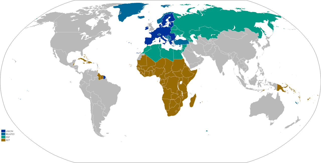
English: Map showing;
Adapted from Image:EUmap.png Adaption on work. |
||||||||
| Data | (see upload date) | ||||||||
| Font | No machine-readable source provided. Own work assumed (based on copyright claims). | ||||||||
| Autor | No machine-readable author provided. JLogan assumed (based on copyright claims). | ||||||||
| Permís (Com reutilitzar aquest fitxer) |
|

Historial del fitxer
Cliqueu una data/hora per veure el fitxer tal com era aleshores.
| Data/hora | Miniatura | Dimensions | Usuari/a | Comentari | |
|---|---|---|---|---|---|
| actual | 17:29, 25 ago 2021 | | 2.753 × 1.400 (89 Ko) | DankJae | UK isn't part of any of the organisations listed in the legend (on commons), so moved it to grey |
| 21:57, 10 feb 2020 |  | 2.753 × 1.400 (51 Ko) | Hektor Absurdus | update - UK moved to "related" | |
| 20:36, 27 març 2018 |  | 2.753 × 1.400 (103 Ko) | Maphobbyist | South Sudan border | |
| 20:15, 8 jul 2013 |  | 2.753 × 1.400 (174 Ko) | U5K0 | croatia | |
| 17:56, 16 març 2009 |  | 2.753 × 1.400 (88 Ko) | Wereon | the Crown Dependencies are not in the EU | |
| 21:17, 8 abr 2007 |  | 2.753 × 1.400 (96 Ko) | JLogan | Map showing; The EU EEA/EFTA/CU/Euro/Candiate/SAA ENP & Potential ENP ACP Adapted from Image:EUmap.png Adaption on work. {{GFDL-en}} Category:Maps of the European Union |
Ús del fitxer
La pàgina següent utilitza aquest fitxer:
Ús global del fitxer
Utilització d'aquest fitxer en altres wikis:
- Utilització a en.wikipedia.org
- Utilització a hu.wikipedia.org
- Utilització a it.wikipedia.org
- Utilització a ja.wikipedia.org
- Utilització a pl.wikipedia.org
- Utilització a pt.wikipedia.org
- Utilització a ru.wikipedia.org
- Utilització a tr.wikipedia.org
- Utilització a uk.wikipedia.org
- Utilització a uz.wikipedia.org