
Fitxer:Eritrea and Northern Ethiopia shaded relief map 1999, CIA.jpg

Mida d'aquesta previsualització: 506 × 600 píxels. Altres resolucions: 202 × 240 píxels | 405 × 480 píxels | 648 × 768 píxels | 1.070 × 1.268 píxels.
Fitxer original (1.070 × 1.268 píxels, mida del fitxer: 322 Ko, tipus MIME: image/jpeg)
| Aquest fitxer i la informació mostrada a continuació provenen del dipòsit multimèdia lliure Wikimedia Commons. |
Resum
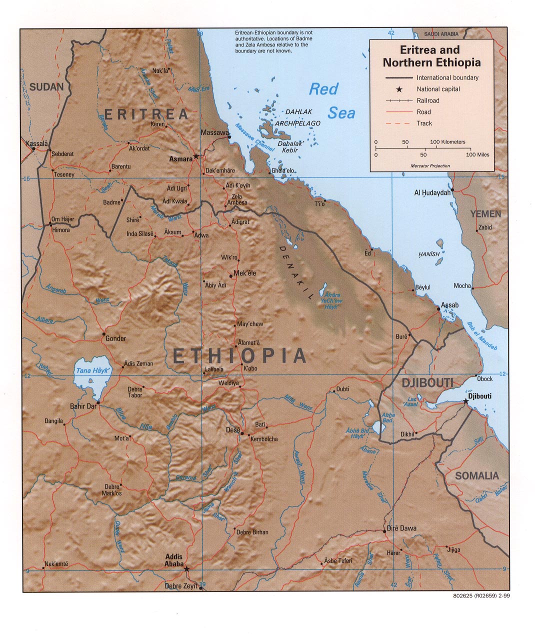
| Descripció | Eritrea and Northern Ethiopia (Shaded Relief), 1999 |
| Data | |
| Font |
University of Texas Libraries, Perry-Castañeda Library Map Collection: Ethiopia Maps |
| Autor | CIA |
Llicència
| This image is a work of a Central Intelligence Agency employee, taken or made as part of that person's official duties. As a Work of the United States Government, this image or media is in the public domain in the United States.
|

|
Historial del fitxer
Cliqueu una data/hora per veure el fitxer tal com era aleshores.
| Data/hora | Miniatura | Dimensions | Usuari/a | Comentari | |
|---|---|---|---|---|---|
| actual | 19:35, 27 set 2005 | | 1.070 × 1.268 (322 Ko) | Andro96~commonswiki | Eritrea and Northern Ethiopia (Shaded Relief) 1999 map was produced by the U.S. Central Intelligence Agency http://www.lib.utexas.edu/maps/ethiopia.html |
Ús del fitxer
Les 2 pàgines següents utilitzen aquest fitxer:
Ús global del fitxer
Utilització d'aquest fitxer en altres wikis:
- Utilització a ckb.wikipedia.org
- Utilització a de.wikipedia.org
- Utilització a de.wikibooks.org
- Utilització a en.wikipedia.org
- Utilització a fa.wikipedia.org
- Utilització a id.wikipedia.org
- Utilització a mzn.wikipedia.org
- Utilització a nl.wikipedia.org
- Utilització a www.wikidata.org
- Utilització a zh.wikipedia.org