
Fitxer:Greenland.A2004208.1810.250m.jpg

Mida d'aquesta previsualització: 800 × 600 píxels. Altres resolucions: 320 × 240 píxels | 640 × 480 píxels | 1.024 × 768 píxels | 1.280 × 960 píxels | 2.560 × 1.920 píxels | 3.200 × 2.400 píxels.
Fitxer original (3.200 × 2.400 píxels, mida del fitxer: 1,11 Mo, tipus MIME: image/jpeg)
| Aquest fitxer i la informació mostrada a continuació provenen del dipòsit multimèdia lliure Wikimedia Commons. |
Resum
| Descripció |
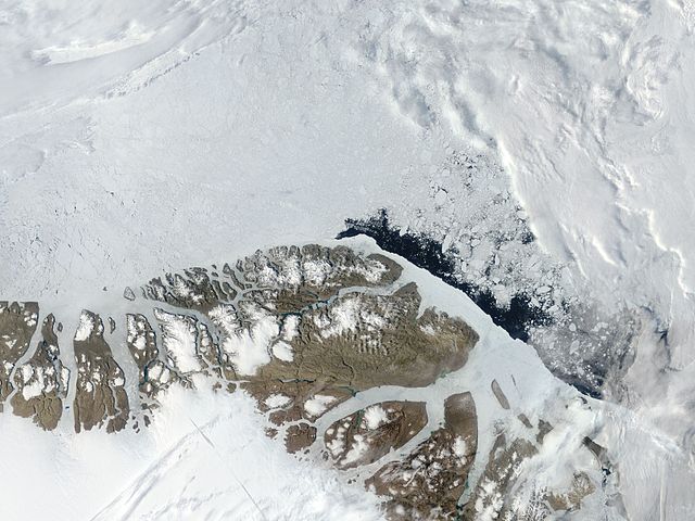
English: Northern Greenland (Peary Land): Moderate Resolution Imaging Spectroradiometer (MODIS) on NASA’s Terra satellite |
| Data | |
| Font | http://visibleearth.nasa.gov/view.php?id=71935 |
| Autor | NASA |
Llicència
| Aquest fitxer és en el domini públic perquè ha estat creat per la NASA. L'avís legal de la NASA diu que «el material de la NASA no està protegit per copyright si no es diu el contrari». (NASA copyright policy page o JPL Image Use Policy). | ||
 |
Atenció:
|
| Anotacions | Aquesta imatge té anotacions: Vegeu-les a Commons |
Historial del fitxer
Cliqueu una data/hora per veure el fitxer tal com era aleshores.
| Data/hora | Miniatura | Dimensions | Usuari/a | Comentari | |
|---|---|---|---|---|---|
| actual | 08:06, 18 jul 2012 | | 3.200 × 2.400 (1,11 Mo) | Ratzer | {{Information |Description ={{en|1=Northern Greenland (Peary Land): Moderate Resolution Imaging Spectroradiometer (MODIS) on NASA’s Terra satellite}} |Source =http://visibleearth.nasa.gov/view.php?id=71935 |Author =NASA |Date ... |
Ús del fitxer
Les 8 pàgines següents utilitzen aquest fitxer:
Ús global del fitxer
Utilització d'aquest fitxer en altres wikis:
- Utilització a be.wikipedia.org
- Utilització a ceb.wikipedia.org
- Utilització a cs.wikipedia.org
- Utilització a da.wikipedia.org
- Utilització a de.wikipedia.org
- Utilització a en.wikipedia.org
- Peary Land
- Independence I culture
- Sverdrup Island (Greenland)
- East Jensen Island
- Hazenland
- John Murray Island
- Princess Dagmar Island
- Princess Thyra Island
- Borup Island
- Stephenson Island (Greenland)
- Princess Margaret Island
- De Long Fjord
- Beaumont Island (Greenland)
- Roosevelt Range
- Johannes V. Jensen Land
- Nansen Land
- Stjernebannertinde
- Roosevelt Land
- Amundsen Land
- Melville Land
- Herluf Trolle Land
- Mount Clarence Wyckoff
- Utilització a es.wikipedia.org
- Utilització a frr.wikipedia.org
- Utilització a fr.wikipedia.org
Vegeu més usos globals d'aquest fitxer.