
Fitxer:IGRF 2000 magnetic declination.gif
Mida d'aquesta previsualització: 753 × 599 píxels. Altres resolucions: 302 × 240 píxels | 603 × 480 píxels | 1.010 × 804 píxels.
Fitxer original (1.010 × 804 píxels, mida del fitxer: 66 Ko, tipus MIME: image/gif)
| Aquest fitxer i la informació mostrada a continuació provenen del dipòsit multimèdia lliure Wikimedia Commons. |
Resum

|
Aquesta imatge (de tipus geology) s'hauria de tornar a crear utilitzant gràfics vectorials com ara un fitxer SVG. Això té diversos avantatges; en trobareu més informació a Commons:Media for cleanup. Si ja disposeu d'una versió d'aquesta imatge en format SVG, us preguem que la pengeu; després, reemplaceu aquesta plantilla amb la plantilla {{Vector version available|nom nou de la imatge.svg}} en aquesta imatge.
|
| Descripció |
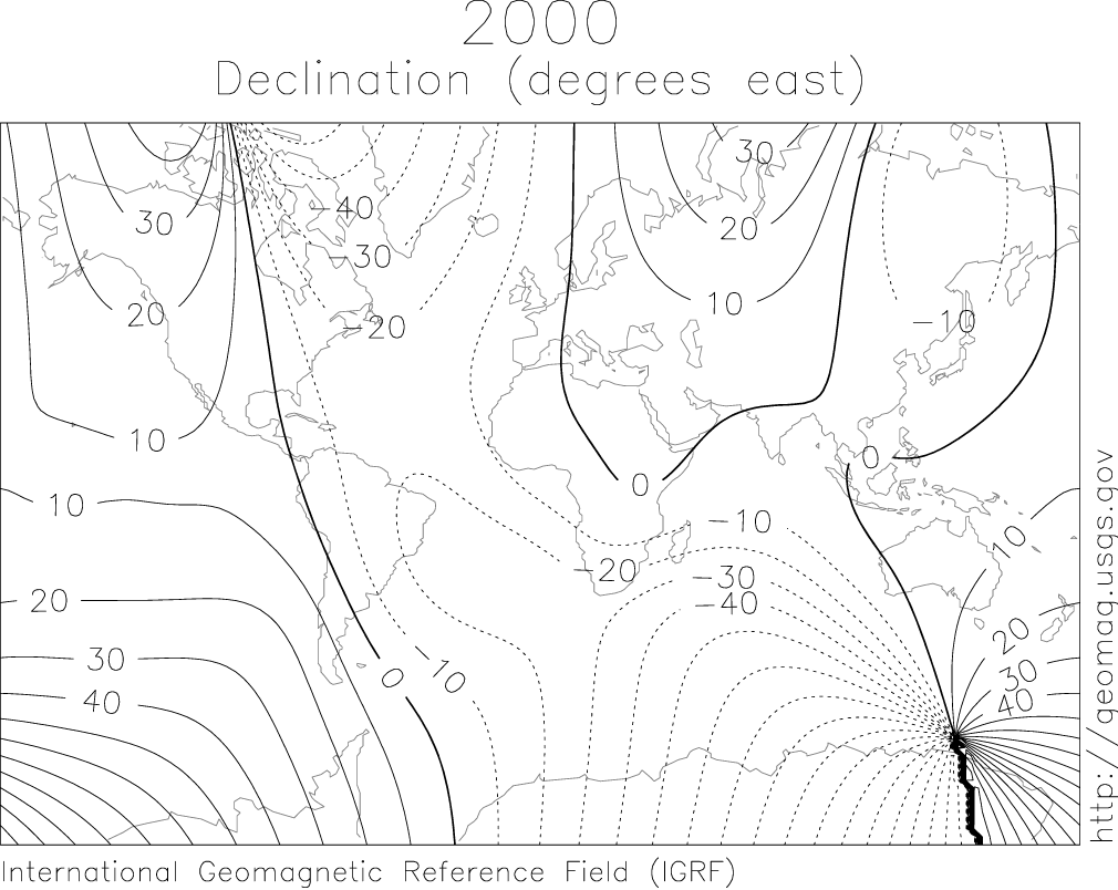
English: IGRF 2000 magnetic declination map. |
| Font |
http://geomag.usgs.gov/charts/index.html |
| Autor |
The original uploader was SEWilco de la Viquipèdia en anglès. Later versions were uploaded by Nova77 at en.wikipedia. |
Llicència
Aquesta imatge és de domini públic, ja que conté materials que originalment van venir del Servei Geològic dels Estats Units d'Amèrica, una agència del Departament de l'Interior dels Estats Units. Per a obtenir més informació, consulti la política oficial de drets de l'USGS.
|
Registre original de càrregues
(All user names refer to en.wikipedia)
- 2005-08-10 12:27 Nova77 1010×804×6 (68017 bytes) IGRF 2000 magnetic declination map. {{PD-USGov-Interior-USGS}} Source: http://geomag.usgs.gov/charts/index.html
- 2005-03-14 08:18 SEWilco 615×492×8 (16650 bytes) IGRF 2000 magnetic declination map. {{PD-USGov-Interior-USGS}} Source: http://geomag.usgs.gov/charts/index.html
Historial del fitxer
Cliqueu una data/hora per veure el fitxer tal com era aleshores.
| Data/hora | Miniatura | Dimensions | Usuari/a | Comentari | |
|---|---|---|---|---|---|
| actual | 23:35, 21 abr 2007 | | 1.010 × 804 (66 Ko) | Woudloper | {{Information |Description=IGRF 2000 magnetic declination map. Source: http://geomag.usgs.gov/charts/index.html |Source=Originally from [http://en.wikipedia.org en.wikipedia]; description page is/was [http://en.wikipedia.org/w/index.php?title=Image%3AIGR |
Ús del fitxer
La pàgina següent utilitza aquest fitxer:
Ús global del fitxer
Utilització d'aquest fitxer en altres wikis:
- Utilització a bg.wikipedia.org
- Utilització a en.wikipedia.org
- Utilització a en.wiktionary.org
- Utilització a fa.wikipedia.org
- Utilització a fa.wikibooks.org
- Utilització a fy.wikipedia.org
- Utilització a it.wikipedia.org
- Utilització a ja.wikipedia.org
- Utilització a ko.wikipedia.org
- Utilització a oc.wikipedia.org
- Utilització a pl.wikipedia.org
- Utilització a pt.wikipedia.org
- Utilització a ro.wikipedia.org
- Utilització a simple.wikipedia.org
- Utilització a si.wikipedia.org
- Utilització a sv.wikipedia.org
- Utilització a sw.wikipedia.org
- Utilització a uk.wikipedia.org
- Utilització a ur.wikipedia.org