
Fitxer:Indonesia Maluku-Western New Guinea location map.svg

Fitxer original (fitxer SVG, nominalment 1.472 × 1.034 píxels, mida del fitxer: 544 Ko)
| Aquest fitxer i la informació mostrada a continuació provenen del dipòsit multimèdia lliure Wikimedia Commons. |
Resum
| Descripció |
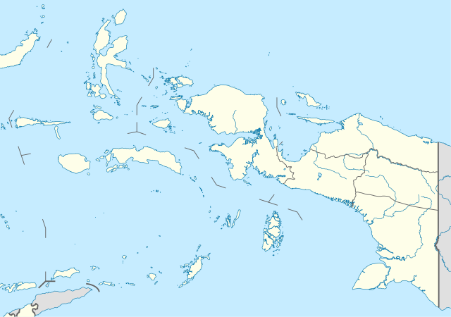
Quadratische Plattkarte. Geographische Begrenzung der Karte:
Equirectangular projection. Geographic limits of the map:
|
|
| Data | ||
| Font |
Treball propi, using
|
|
| Autor | NordNordWest | |
| Permís (Com reutilitzar aquest fitxer) |
Aquest fitxer està publicat sota la llicència de Creative Commons Reconeixement i Compartir Igual 3.0 Alemanya.
 Aquest fitxer està publicat sota la llicència de Creative Commons Reconeixement i Compartir Igual 3.0 Alemanya.
|


|
This map has been made or improved in the German Kartenwerkstatt (Map Lab). You can propose maps to improve as well.
|
Historial del fitxer
Cliqueu una data/hora per veure el fitxer tal com era aleshores.
| Data/hora | Miniatura | Dimensions | Usuari/a | Comentari | |
|---|---|---|---|---|---|
| actual | 16:42, 22 oct 2022 | | 1.472 × 1.034 (544 Ko) | Afrogindahood | Addition of new provinces in Western New Guinea |
| 20:24, 19 feb 2010 |  | 1.472 × 1.033 (873 Ko) | NordNordWest | =={{int:filedesc}}== {{Information |Description= {{de|Positionskarte der Molukken und von West-Neuguinea, Indonesien}} Quadratische Plattkarte. Geographische Begrenzung der Karte: * N: 3.0° N * S |
Ús del fitxer
La pàgina següent utilitza aquest fitxer:
Ús global del fitxer
Utilització d'aquest fitxer en altres wikis:
- Utilització a ar.wikipedia.org
- Utilització a az.wikipedia.org
- Utilització a ba.wikipedia.org
- Utilització a ceb.wikipedia.org
- Utilització a en.wikipedia.org
- Utilització a eo.wikipedia.org
- Utilització a es.wikipedia.org
- Utilització a fa.wikipedia.org
- Utilització a hy.wikipedia.org
- Utilització a id.wikipedia.org
- Kabupaten Biak Numfor
- Kota Jayapura
- Kabupaten Jayapura
- Kabupaten Jayawijaya
- Kabupaten Merauke
- Kabupaten Mimika
- Kabupaten Paniai
- Kabupaten Sorong
- Kabupaten Kepulauan Yapen
- Kota Ambon
- Kabupaten Maluku Tengah
- Kabupaten Maluku Tenggara
- Kota Ternate
- Kabupaten Halmahera Tengah
- Kabupaten Kepulauan Tanimbar
- Kabupaten Sorong Selatan
- Kabupaten Halmahera Barat
- Kabupaten Buru
- Kabupaten Kepulauan Aru
- Kabupaten Seram Bagian Barat
- Kabupaten Seram Bagian Timur
- Kabupaten Halmahera Selatan
- Kabupaten Halmahera Timur
Vegeu més usos globals d'aquest fitxer.