
Fitxer:Korea topographic map.png
Mida d'aquesta previsualització: 390 × 599 píxels. Altres resolucions: 156 × 240 píxels | 312 × 480 píxels | 896 × 1.376 píxels.
Fitxer original (896 × 1.376 píxels, mida del fitxer: 1,18 Mo, tipus MIME: image/png)
| Aquest fitxer i la informació mostrada a continuació provenen del dipòsit multimèdia lliure Wikimedia Commons. |
| Descripció |
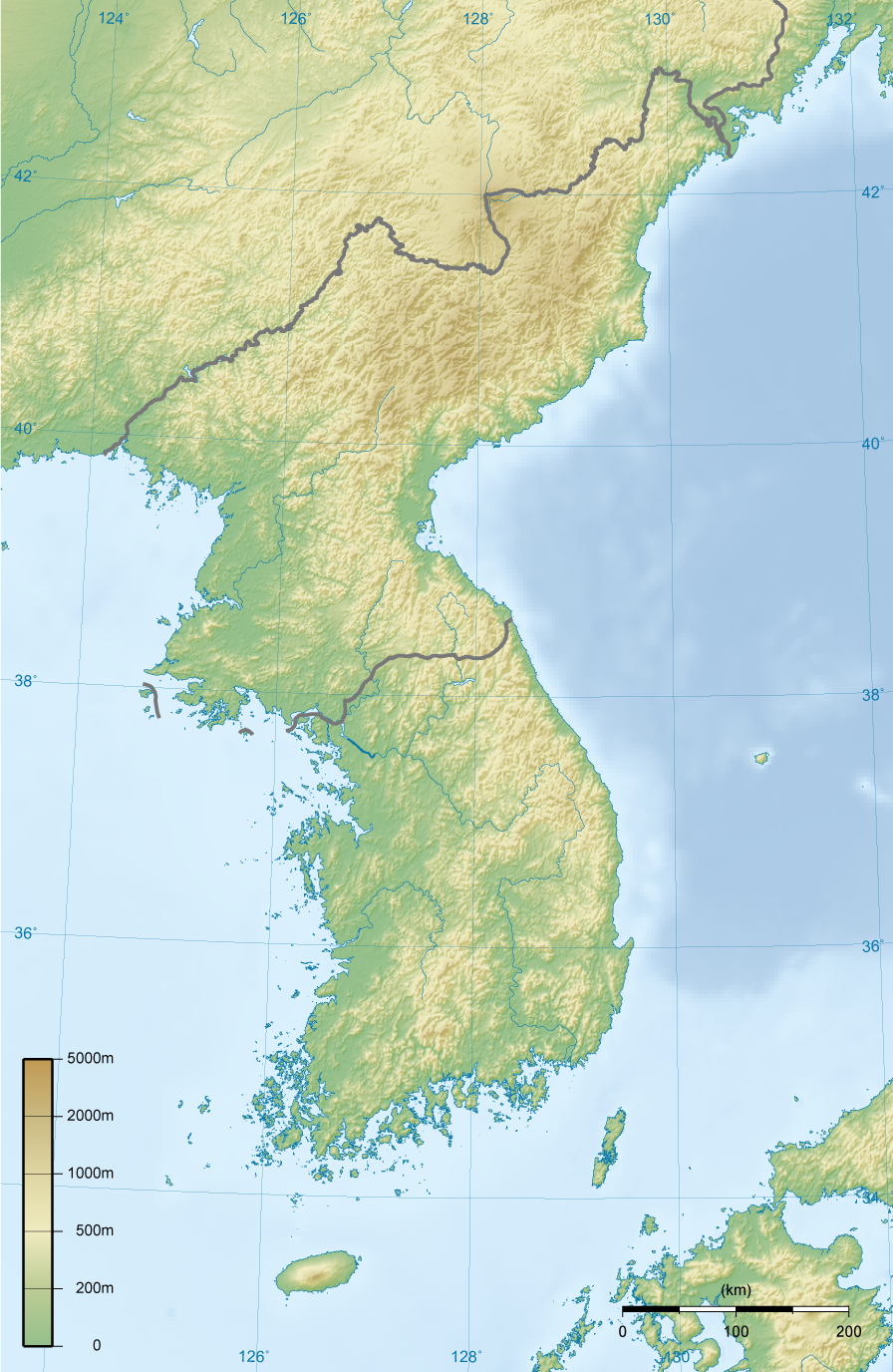
English: Topographic map of Korea.
한국어: 한국의 지형도. |
||||||||||
| Data | |||||||||||
| Font | Treball propi | ||||||||||
| Autor | Ksiom | ||||||||||
| Permís (Com reutilitzar aquest fitxer) |
|
||||||||||
| Altres versions | Derivative works of this file: North Korea topographic map.png |

Historial del fitxer
Cliqueu una data/hora per veure el fitxer tal com era aleshores.
| Data/hora | Miniatura | Dimensions | Usuari/a | Comentari | |
|---|---|---|---|---|---|
| actual | 20:00, 27 feb 2009 | | 896 × 1.376 (1,18 Mo) | Ksiom | Reverted to version as of 23:21, 21 February 2009. Unimpaired scale bar |
| 17:08, 22 feb 2009 |  | 802 × 1.376 (1,11 Mo) | Valentim | Reverted to version as of 10:45, 31 January 2009. Focused view better. | |
| 01:21, 22 feb 2009 |  | 896 × 1.376 (1,18 Mo) | Ksiom | Reverted to version as of 22:04, 13 November 2008 | |
| 12:45, 31 gen 2009 |  | 802 × 1.376 (1,11 Mo) | Valentim | View centered on North and South Korea | |
| 00:04, 14 nov 2008 |  | 896 × 1.376 (1,18 Mo) | Ksiom | ||
| 01:11, 17 ago 2008 |  | 899 × 1.379 (1,3 Mo) | Ksiom | ||
| 21:33, 15 ago 2008 |  | 1.039 × 1.494 (1,36 Mo) | Ksiom | ||
| 20:34, 15 ago 2008 |  | 1.040 × 1.494 (1,36 Mo) | Ksiom | UTM Projection | |
| 02:52, 9 ago 2008 |  | 1.000 × 1.450 (1,33 Mo) | Ksiom | {{Information |Description={{en|1=Topographic map of Korea.}} {{ko|1=한국의 지형도.}} |Source=Own work by uploader |Author=Ksiom |Date=2008-08-09 |Permission={{GFDL-GMT}} |other_versions= }} {{ImageUpload|full}} [[Category:Maps of Ko |
Ús del fitxer
No hi ha pàgines que utilitzin aquest fitxer.
Ús global del fitxer
Utilització d'aquest fitxer en altres wikis:
- Utilització a ang.wikipedia.org
- Utilització a br.wikipedia.org
- Utilització a da.wikipedia.org
- Utilització a da.wikibooks.org
- Utilització a en.wikipedia.org
- Utilització a fr.wikipedia.org
- Utilització a fr.wiktionary.org
- Utilització a mt.wikipedia.org