
Fitxer:Longroiva 02 by-dpc.jpg
Fitxer original (4.928 × 3.264 píxels, mida del fitxer: 5,79 Mo, tipus MIME: image/jpeg)
| Aquest fitxer i la informació mostrada a continuació provenen del dipòsit multimèdia lliure Wikimedia Commons. |
La realització d'aquest treball va ser recolzada per Wikimedia Espanya.
Per a veure totes les obres que van rebre aquest recolzament, veja la categoria Supported by Wikimedia España. |
|
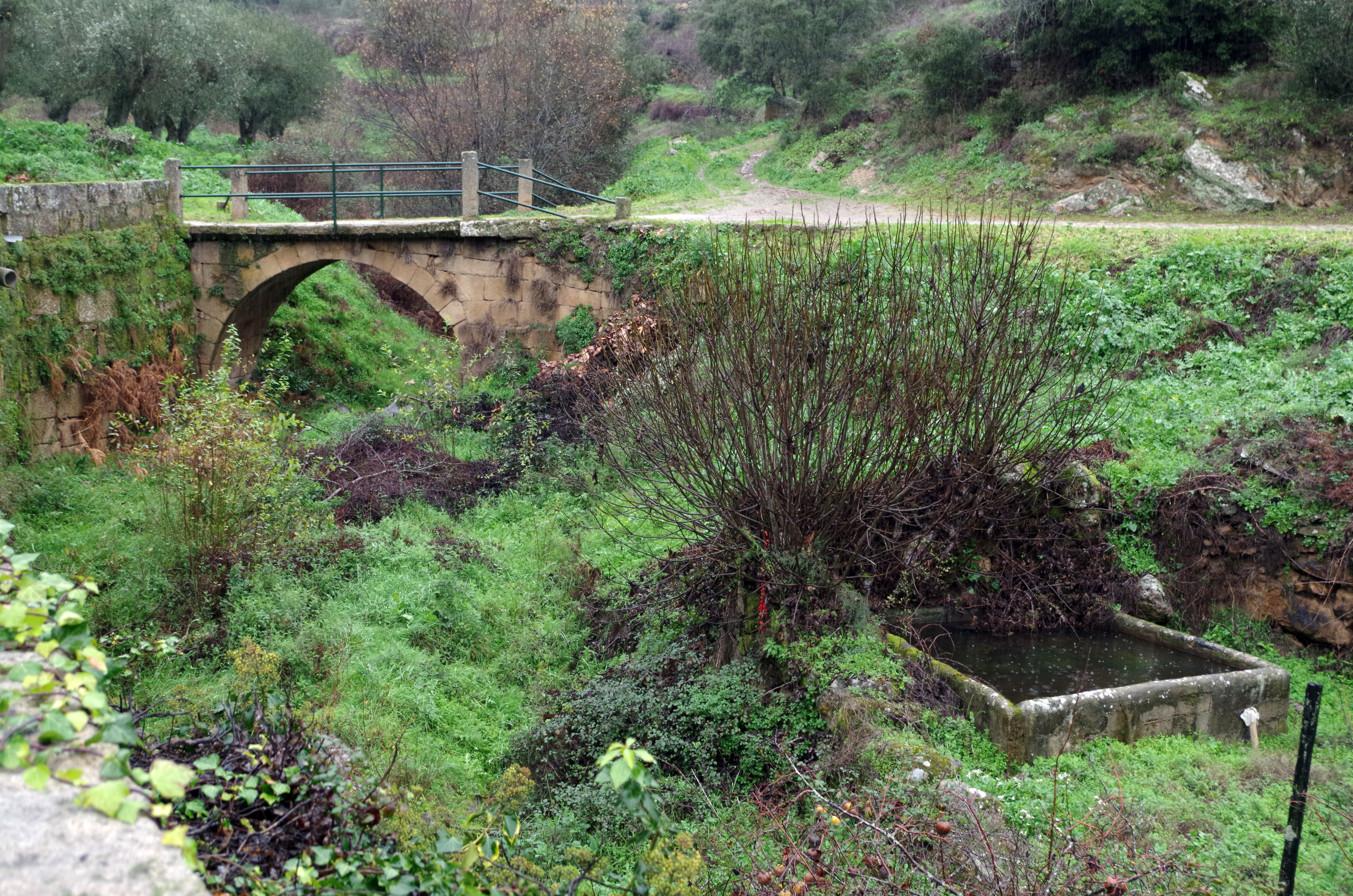
This monument is classified as
Imóvel de Interesse Público .It is indexed in the IGESPAR database ( Instituto de Gestão do Património Arquitectónico e Arqueológico ), under the reference 73472.It is indexed in the SIPA database (Sistema de Informação para o Património Arquitectónico) under the reference 2924. |
Resum
| Descripció | ||
| Data | ||
| Font | Treball propi | |
| Autor | David Perez | |
| Permís (Com reutilitzar aquest fitxer) |
|
| Posició de la càmera | | Aquesta i altres imatges properes a: OpenStreetMap |
|---|
Llicència

|
S'autoritza la còpia, la distribució i la modificació d'aquest document sota els termes de la llicència de documentació lliure GNU versió 1.2 o qualsevol altra versió posterior que publiqui la Free Software Foundation; sense seccions invariants, ni textos de portada, ni textos de contraportada. S'inclou una còpia d'aquesta llicència en la secció titulada GNU Free Documentation License. |
- Sou lliure de:
- compartir – copiar, distribuir i comunicar públicament l'obra
- adaptar – fer-ne obres derivades
- Amb les condicions següents:
- reconeixement – Heu de donar la informació adequada sobre l'autor, proporcionar un enllaç a la llicència i indicar si s'han realitzat canvis. Podeu fer-ho amb qualsevol mitjà raonable, però de cap manera no suggereixi que l'autor us dóna suport o aprova l'ús que en feu.
Historial del fitxer
Cliqueu una data/hora per veure el fitxer tal com era aleshores.
| Data/hora | Miniatura | Dimensions | Usuari/a | Comentari | |
|---|---|---|---|---|---|
| actual | 06:58, 1 feb 2016 | | 4.928 × 3.264 (5,79 Mo) | David Perez |
Ús del fitxer
La pàgina següent utilitza aquest fitxer:
Ús global del fitxer
Utilització d'aquest fitxer en altres wikis:
- Utilització a de.wikipedia.org
- Utilització a es.wikipedia.org
- Utilització a pt.wikipedia.org
- Lista de património edificado no distrito da Guarda
- Ponte romana de Longroiva
- Usuário:Multichill/IGESPAR without an ID
- Wikipédia:Wiki Loves Monuments 2019/Portugal/Lista/Guarda
- Usuário(a):ErfgoedBot/Fotos de património em Portugal sem identificação
- Lista de pontes romanas em Portugal
- Lista de pontes em Portugal classificadas como de Interesse Público ou Municipal
- Utilització a www.wikidata.org