
Fitxer:Manchester Dock No 9.jpg
No hi ha cap versió amb una resolució més gran.
Manchester_Dock_No_9.jpg (788 × 425 píxels, mida del fitxer: 73 Ko, tipus MIME: image/jpeg)
| Aquest fitxer i la informació mostrada a continuació provenen del dipòsit multimèdia lliure Wikimedia Commons. |
| Descripció |
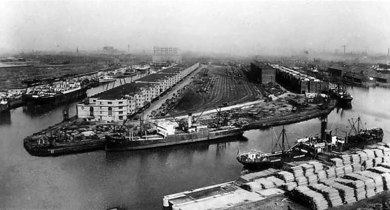
English: Dock No. 9 (top left) of the Salford Docks, Salford, Greater Manchester, England. Dock No. 8 is at the right and the Ship Canal in the foreground |
|||
| Data | cap a 1900 | |||
| Font | www.oldukphotos.com (with permission) | |||
| Autor | Desconegut | |||
| Permís (Com reutilitzar aquest fitxer) |
|

| Posició de la càmera | | Aquesta i altres imatges properes a: OpenStreetMap |
|---|
Historial del fitxer
Cliqueu una data/hora per veure el fitxer tal com era aleshores.
| Data/hora | Miniatura | Dimensions | Usuari/a | Comentari | |
|---|---|---|---|---|---|
| actual | 15:36, 22 gen 2009 | | 788 × 425 (73 Ko) | Jza84 | {{Information |Description={{en|1=Dock No. 9 of the Salford Docks, Salford, Greater Manchester, England.}} |Source=[http://www.oldukphotos.com/graphics/England%20Photos/Lancashire,%20Manchester,%20Ship%20Canal%20II.jpg www.oldukphotos.com] (with [http://w |
Ús del fitxer
La pàgina següent utilitza aquest fitxer:
Ús global del fitxer
Utilització d'aquest fitxer en altres wikis:
- Utilització a azb.wikipedia.org
- Utilització a cy.wikipedia.org
- Utilització a en.wikipedia.org
- Utilització a is.wikipedia.org
- Utilització a it.wikipedia.org
- Utilització a www.wikidata.org