
Fitxer:Map of Maine highlighting Caribou.png
No hi ha cap versió amb una resolució més gran.
Map_of_Maine_highlighting_Caribou.png (402 × 600 píxels, mida del fitxer: 18 Ko, tipus MIME: image/png)
| Aquest fitxer i la informació mostrada a continuació provenen del dipòsit multimèdia lliure Wikimedia Commons. |
Resum
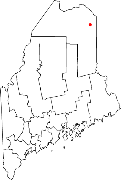
| Descripció | Map of the state of Maine with County Outlines, highlighting the city of Caribou. |
| Data | 7 de desembre de 2005 (original upload date) |
| Font | No machine-readable source provided. Own work assumed (based on copyright claims). |
| Autor | No machine-readable author provided. Bastique assumed (based on copyright claims). |
Llicència
| Jo, el titular del copyright d'aquesta obra, l'allibero al domini públic. Això s'aplica a tot el món. En alguns països això pot no ser legalment possible, en tal cas: Jo faig concessió a tothom del dret d'usar aquesta obra per a qualsevol propòsit, sense cap condició llevat d'aquelles requerides per la llei. |
Historial del fitxer
Cliqueu una data/hora per veure el fitxer tal com era aleshores.
| Data/hora | Miniatura | Dimensions | Usuari/a | Comentari | |
|---|---|---|---|---|---|
| actual | 15:20, 7 des 2005 | | 402 × 600 (18 Ko) | Bastique | Map of the state of Maine with County Outlines, highlighting the city of Caribou. Category:Maps of Maine en:Image:Map_of_Maine_highlighting_Caribou.png == Licensing == {{PD-self}} |
Ús del fitxer
No hi ha pàgines que utilitzin aquest fitxer.
Ús global del fitxer
Utilització d'aquest fitxer en altres wikis:
- Utilització a ceb.wikipedia.org
- Utilització a it.wikipedia.org
- Utilització a zh-min-nan.wikipedia.org