
Fitxer:Muddy Water Red desert.jpg
Mida d'aquesta previsualització: 800 × 600 píxels. Altres resolucions: 320 × 240 píxels | 640 × 480 píxels | 1.024 × 768 píxels | 1.280 × 960 píxels | 2.560 × 1.920 píxels.
Fitxer original (2.560 × 1.920 píxels, mida del fitxer: 2,23 Mo, tipus MIME: image/jpeg)
| Aquest fitxer i la informació mostrada a continuació provenen del dipòsit multimèdia lliure Wikimedia Commons. |
Resum
| Descripció |
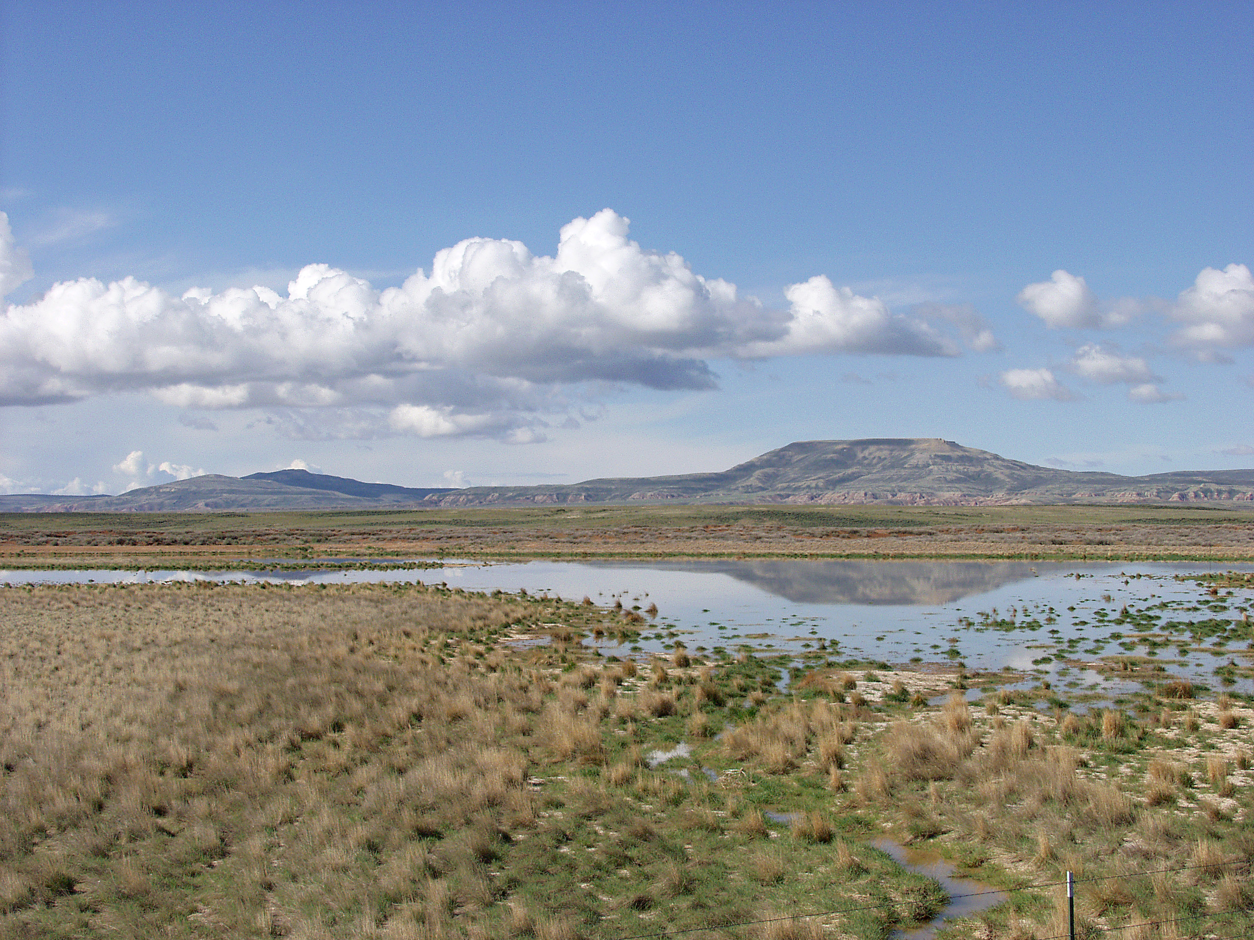
English: Melting snowpack is the primary source for surface water in Wyoming, such as this emphemeral wetland in the Muddy Creek Watershed of the Red Desert. This stretch of rangeland is typical of the vast expanses of publicly owned rangeland that aerial remote sensing is particularly well-adapted to. |
| Data | Data desconeguda |
| Font | http://www.ars.usda.gov/is/graphics/photos/feb06/d423-1.htm |
| Autor | US Department of Agriculture. Sam Cox |
| Permís (Com reutilitzar aquest fitxer) |
US Federal Government work |
Llicència
| This image is in the public domain because it contains materials that originally came from the Agricultural Research Service, the research agency of the United States Department of Agriculture.
|
Historial del fitxer
Cliqueu una data/hora per veure el fitxer tal com era aleshores.
| Data/hora | Miniatura | Dimensions | Usuari/a | Comentari | |
|---|---|---|---|---|---|
| actual | 19:05, 21 abr 2009 | | 2.560 × 1.920 (2,23 Mo) | Fishdecoy | {{Information |Description={{en|1=This stretch of rangeland in the Muddy Creek Watershed in Wyoming’s Red Desert is typical of the vast expanses of publicly owned rangeland that aerial remote sensing is particularly well-adapted to.}} |Source=http://www |
Ús del fitxer
La pàgina següent utilitza aquest fitxer:
Ús global del fitxer
Utilització d'aquest fitxer en altres wikis:
- Utilització a ar.wikipedia.org
- Utilització a arz.wikipedia.org
- Utilització a ceb.wikipedia.org
- Utilització a cs.wikipedia.org
- Utilització a en.wikipedia.org
- Utilització a fa.wikipedia.org
- Utilització a fr.wikipedia.org
- Utilització a it.wikipedia.org
- Utilització a ka.wikipedia.org
- Utilització a lt.wikipedia.org
- Utilització a vi.wikipedia.org
- Utilització a www.wikidata.org