
Fitxer:Norway Buskerud location map.svg

Fitxer original (fitxer SVG, nominalment 966 × 1.020 píxels, mida del fitxer: 130 Ko)
| Aquest fitxer i la informació mostrada a continuació provenen del dipòsit multimèdia lliure Wikimedia Commons. |
Resum
| Descripció |
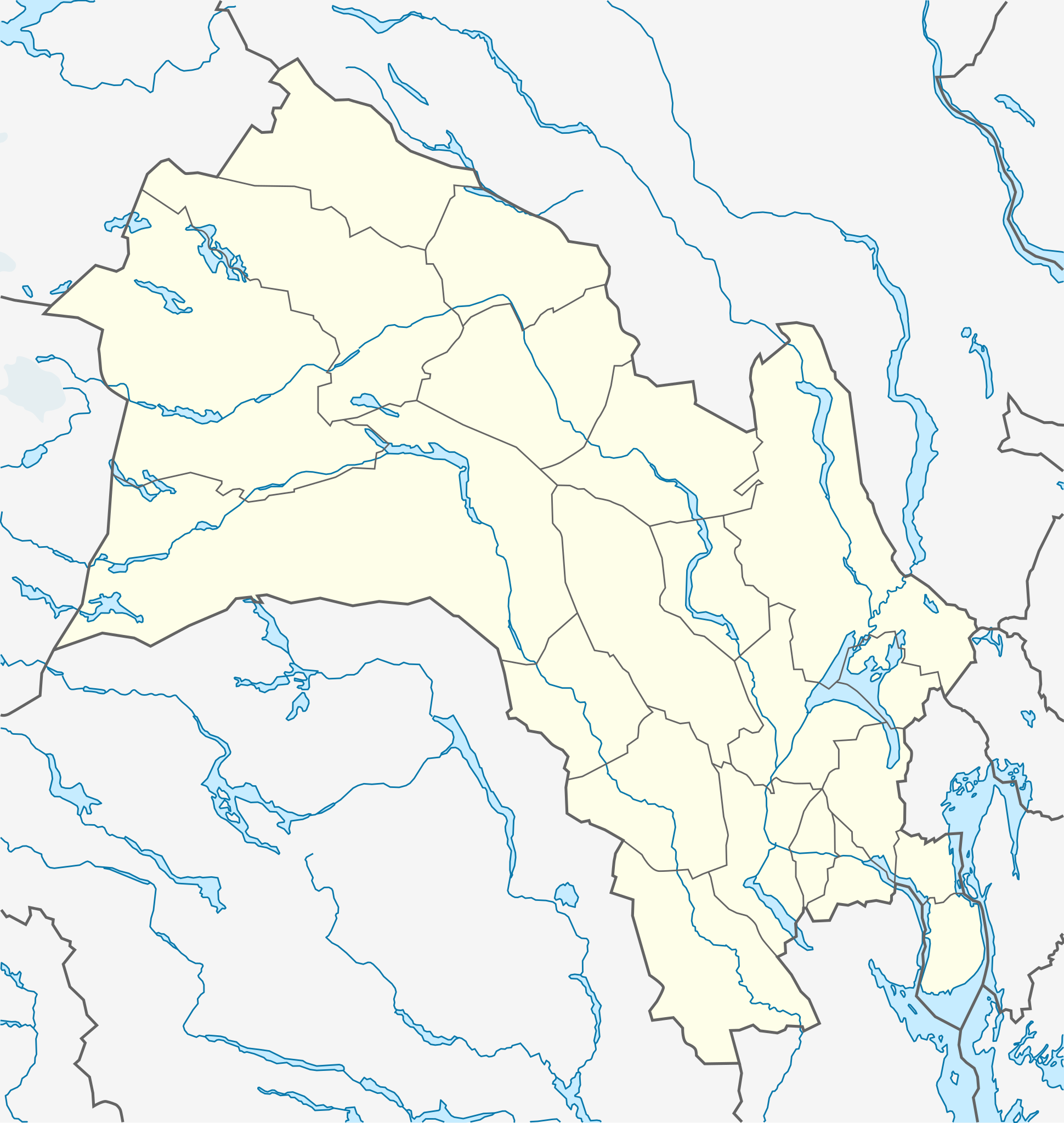
Quadratische Plattkarte, N-S-Streckung 200 %. Geographische Begrenzung der Karte:
Equirectangular projection, N/S stretching 200 %. Geographic limits of the map:
|
|
| Data | ||
| Font |
Treball propi, using
|
|
| Autor | NordNordWest | |
| Permís (Com reutilitzar aquest fitxer) |
Aquest fitxer està publicat sota la llicència de Creative Commons Reconeixement i Compartir Igual 3.0 Alemanya.
 Aquest fitxer està subjecte a la llicència de Creative Commons Reconeixement i Compartir Igual 3.0 No adaptada.
|


|
This map has been made or improved in the German Kartenwerkstatt (Map Lab). You can propose maps to improve as well.
|
Historial del fitxer
Cliqueu una data/hora per veure el fitxer tal com era aleshores.
| Data/hora | Miniatura | Dimensions | Usuari/a | Comentari | |
|---|---|---|---|---|---|
| actual | 11:12, 4 nov 2011 | | 966 × 1.020 (130 Ko) | NordNordWest | corr |
| 23:14, 10 nov 2010 |  | 966 × 1.020 (130 Ko) | NordNordWest | =={{int:filedesc}}== {{Information |Description= {{de|Positionskarte von Buskerud, Norwegen}} Quadratische Plattkarte, N-S-Streckung 200 %. Geographische Begrenzung der Karte: * N: 61.2° N * S: 59.3° N * W: 7.3° O * O: |
Ús del fitxer
Les 2 pàgines següents utilitzen aquest fitxer:
Ús global del fitxer
Utilització d'aquest fitxer en altres wikis:
- Utilització a ar.wikipedia.org
- Utilització a ba.wikipedia.org
- Utilització a ceb.wikipedia.org
- Utilització a ckb.wikipedia.org
- Utilització a cs.wikipedia.org
- Utilització a da.wikipedia.org
- Utilització a fa.wikipedia.org
- Utilització a ja.wikipedia.org
- Utilització a kbd.wikipedia.org
- Utilització a kn.wikipedia.org
- Utilització a lv.wikipedia.org
- Utilització a mk.wikipedia.org
- Utilització a pl.wikibooks.org
- Utilització a tr.wikipedia.org
- Utilització a uk.wikipedia.org
- Utilització a uz.wikipedia.org
- Utilització a war.wikipedia.org