
Fitxer:Sanjak of Novibazar.png

Mida d'aquesta previsualització: 531 × 600 píxels. Altres resolucions: 212 × 240 píxels | 425 × 480 píxels | 786 × 888 píxels.
Fitxer original (786 × 888 píxels, mida del fitxer: 75 Ko, tipus MIME: image/png)
| Aquest fitxer i la informació mostrada a continuació provenen del dipòsit multimèdia lliure Wikimedia Commons. |
Resum
| Descripció |
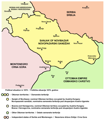
English: Map of the Sanjak of Novibazar, nominal territory of the Ottoman Empire under Austro-Hungarian occupation in 1878.
Српски / srpski: Mapa Novopazarskog sandžaka, nominalne teritorije Osmanskog carstva pod Austro-Ugarskom okupacijom 1878. godine. |
| Data | 23 de maig de 2006 (original upload date) |
| Font | Treball propi |
| Autor | PANONIAN |
Source
Made by PANONIAN, Uploaded in Commons by Lohe.
Llicència
self-made map by user:PANONIAN
| Jo, el titular del copyright d'aquesta obra, l'allibero al domini públic. Això s'aplica a tot el món. En alguns països això pot no ser legalment possible, en tal cas: Jo faig concessió a tothom del dret d'usar aquesta obra per a qualsevol propòsit, sense cap condició llevat d'aquelles requerides per la llei. |
References
- http://terkepek.adatbank.transindex.ro/kepek/netre/258.gif
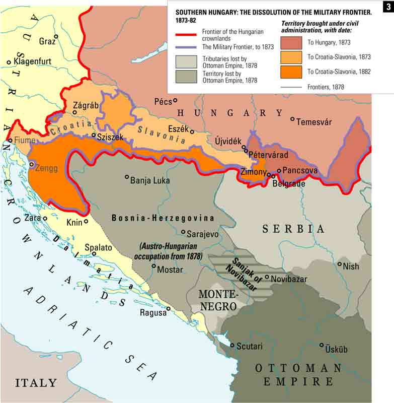
- http://www.historyonmaps.com/ColourSamples/cbig/DissolutionMilitayFrontier.jpg
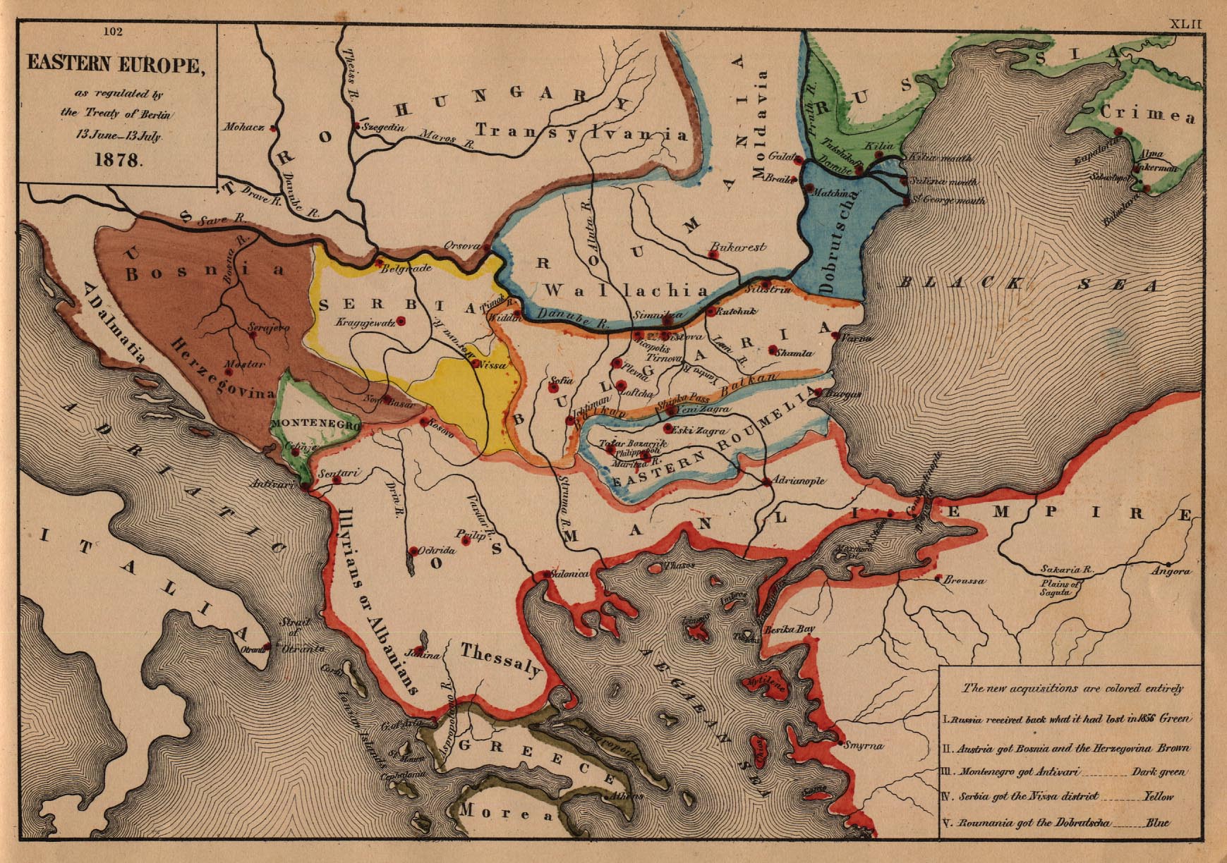
- http://www.lib.utexas.edu/maps/historical/eastern_europe1878.jpg
- http://images.nationmaster.com/images/motw/historical/balkans_1912.jpg
- http://maps.grida.no/library/files/storage/balkans-history-_003.png
- The Times History of Europe, Times Books, London, 2002.
- Istorijski atlas, Geokarta, Beograd, 1999.
- Školski istorijski atlas, Zavod za izdavanje udžbenika SR Srbije, Beograd, 1970.
- Povijesni atlas, Učila - Zagreb, Zagreb, 1971.
- Denis Šehić - Demir Šehić, Istorijski atlas sveta, Beograd, 2007.
Historial del fitxer
Cliqueu una data/hora per veure el fitxer tal com era aleshores.
| Data/hora | Miniatura | Dimensions | Usuari/a | Comentari | |
|---|---|---|---|---|---|
| actual | 12:57, 25 oct 2010 | | 786 × 888 (75 Ko) | PANONIAN | improved version |
| 21:08, 23 maig 2006 |  | 758 × 534 (8 Ko) | Lohe | Map of the Sanjak of Novibazar, historical territory belonging to the Ottoman Balkans in the 19th century. Made by en:User:PANONIAN Uploaded in Commons by it:Utente:Lohe |
Ús del fitxer
Les 2 pàgines següents utilitzen aquest fitxer:
Ús global del fitxer
Utilització d'aquest fitxer en altres wikis:
- Utilització a am.wikipedia.org
- Utilització a arz.wikipedia.org
- Utilització a bg.wikipedia.org
- Utilització a de.wikipedia.org
- Utilització a el.wikipedia.org
- Utilització a en.wikipedia.org
- Utilització a fr.wikipedia.org
- Utilització a gl.wikipedia.org
- Utilització a hr.wikipedia.org
- Utilització a it.wikipedia.org
- Utilització a mk.wikipedia.org
- Utilització a no.wikipedia.org
- Utilització a sh.wikipedia.org
- Utilització a sq.wikipedia.org