
Fitxer:Savar building 2013.png
No hi ha cap versió amb una resolució més gran.
Savar_building_2013.png (552 × 497 píxels, mida del fitxer: 81 Ko, tipus MIME: image/png)
| Aquest fitxer i la informació mostrada a continuació provenen del dipòsit multimèdia lliure Wikimedia Commons. |
Resum
| Descripció |
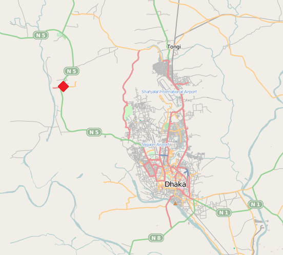
English: I create this using Open Street Map |
| Data | |
| Font | Treball propi |
| Autor | Eugen Simion 14 |
| Posició de l'objecte | | Aquesta i altres imatges properes a: OpenStreetMap |
|---|
Llicència
| This work contains information from OpenStreetMap, which is made available under the Open Database License (ODbL).
The ODbL does not require any particular license for maps produced from ODbL data. Prior to 1 August 2020, map tiles produced by the OpenStreetMap Foundation were licensed under the CC-BY-SA-2.0 license. Maps produced by other people may be subject to other licences. |
Historial del fitxer
Cliqueu una data/hora per veure el fitxer tal com era aleshores.
| Data/hora | Miniatura | Dimensions | Usuari/a | Comentari | |
|---|---|---|---|---|---|
| actual | 13:28, 27 abr 2013 | | 552 × 497 (81 Ko) | Eugen Simion 14 | User created page with UploadWizard |
Ús del fitxer
La pàgina següent utilitza aquest fitxer:
Ús global del fitxer
Utilització d'aquest fitxer en altres wikis:
- Utilització a bn.wikipedia.org
- Utilització a cs.wikipedia.org
- Utilització a en.wikipedia.org
- Utilització a eo.wikipedia.org
- Utilització a eu.wikipedia.org
- Utilització a it.wikipedia.org
- Utilització a ja.wikipedia.org
- Utilització a ru.wikipedia.org
- Utilització a ru.wikinews.org
- Utilització a www.wikidata.org
- Utilització a zh.wikipedia.org