
Fitxer:Sumter County Georgia Incorporated and Unincorporated areas Plains Highlighted.svg

Mida d'aquesta previsualització PNG del fitxer SVG: 800 × 518 píxels. Altres resolucions: 320 × 207 píxels | 640 × 414 píxels | 1.024 × 663 píxels | 1.280 × 828 píxels | 2.560 × 1.656 píxels | 850 × 550 píxels.
Fitxer original (fitxer SVG, nominalment 850 × 550 píxels, mida del fitxer: 195 Ko)
| Aquest fitxer i la informació mostrada a continuació provenen del dipòsit multimèdia lliure Wikimedia Commons. |
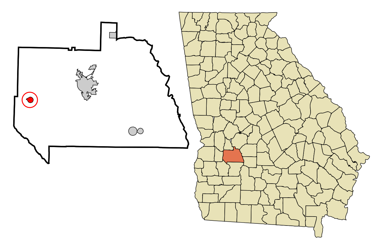
| Descripció | This map shows the incorporated and unincorporated areas in Sumter County, Georgia, highlighting Plains in red. It was created with a custom script with US Census Bureau data and modified with Inkscape. |
| Data | |
| Font | My own work, based on public domain information. Based on similar map concepts by Ixnayonthetimmay |
| Autor | Arkyan |
Jo, el titular dels drets d'autor d'aquest treball, el public sota les següents llicències:

|
S'autoritza la còpia, la distribució i la modificació d'aquest document sota els termes de la llicència de documentació lliure GNU versió 1.2 o qualsevol altra versió posterior que publiqui la Free Software Foundation; sense seccions invariants, ni textos de portada, ni textos de contraportada. S'inclou una còpia d'aquesta llicència en la secció titulada GNU Free Documentation License. |
| Aquest fitxer està subjecte a la llicència de Creative Commons Reconeixement i Compartir Igual 3.0 No adaptada. | ||
| ||
| Aquest avís de llicència s'ha afegit a aquest fitxer d'acord amb l'actualització de la llicència GFDL. |
Aquest fitxer està llicenciat sota les llicències de Creative Commons Reconeixement - CompartirIgual 2.5 Genèrica, 2.0 Genèrica i 1.0 Genèrica.
- Sou lliure de:
- compartir – copiar, distribuir i comunicar públicament l'obra
- adaptar – fer-ne obres derivades
- Amb les condicions següents:
- reconeixement – Heu de donar la informació adequada sobre l'autor, proporcionar un enllaç a la llicència i indicar si s'han realitzat canvis. Podeu fer-ho amb qualsevol mitjà raonable, però de cap manera no suggereixi que l'autor us dóna suport o aprova l'ús que en feu.
- compartir igual – Si modifiqueu, transformeu, o generareu amb el material, haureu de distribuir les vostres contribucions sota una llicència similar o una de compatible com l'original
Podeu seleccionar la llicència que vulgueu.
| Anotacions | Aquesta imatge té anotacions: Vegeu-les a Commons |
Historial del fitxer
Cliqueu una data/hora per veure el fitxer tal com era aleshores.
| Data/hora | Miniatura | Dimensions | Usuari/a | Comentari | |
|---|---|---|---|---|---|
| actual | 23:46, 19 set 2007 | | 850 × 550 (195 Ko) | ArkyBot~commonswiki | {{Information |Description=This map shows the incorporated and unincorporated areas in Sumter County, Georgia, highlighting Plains in red. It was created with |
Ús del fitxer
La pàgina següent utilitza aquest fitxer:
Ús global del fitxer
Utilització d'aquest fitxer en altres wikis:
- Utilització a ar.wikipedia.org
- Utilització a arz.wikipedia.org
- Utilització a azb.wikipedia.org
- Utilització a ceb.wikipedia.org
- Utilització a cy.wikipedia.org
- Utilització a de.wikipedia.org
- Utilització a en.wikipedia.org
- Utilització a eu.wikipedia.org
- Utilització a fa.wikipedia.org
- Utilització a fi.wikipedia.org
- Utilització a fr.wikipedia.org
- Utilització a ht.wikipedia.org
- Utilització a it.wikipedia.org
- Utilització a ja.wikipedia.org
- Utilització a sh.wikipedia.org
- Utilització a sr.wikipedia.org
- Utilització a tt.wikipedia.org
- Utilització a ur.wikipedia.org
- Utilització a www.wikidata.org
- Utilització a zh-min-nan.wikipedia.org
- Utilització a zh.wikipedia.org