
Fitxer:Tanzania map-en.svg

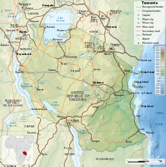
Mida d'aquesta previsualització PNG del fitxer SVG: 596 × 599 píxels. Altres resolucions: 239 × 240 píxels | 477 × 480 píxels | 764 × 768 píxels | 1.019 × 1.024 píxels | 2.037 × 2.048 píxels | 2.064 × 2.075 píxels.
Fitxer original (fitxer SVG, nominalment 2.064 × 2.075 píxels, mida del fitxer: 3,15 Mo)
| Aquest fitxer i la informació mostrada a continuació provenen del dipòsit multimèdia lliure Wikimedia Commons. |
| Descripció |
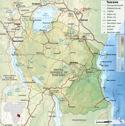
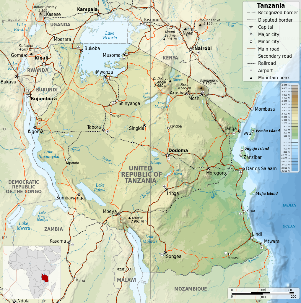
English: Map of Tanzania in English. Equirectangular projection. 1° N, 28° W, 42° E, -13° S. |
||
| Data | |||
| Font | |||
| Autor |
|
||
| Permís (Com reutilitzar aquest fitxer) |
Jo, el titular dels drets d'autor d'aquest treball, el public sota les següents llicències:
This file is licensed under the Creative Commons Attribution-Share Alike 4.0 International, 3.0 Unported, 2.5 Generic, 2.0 Generic and 1.0 Generic license.
Podeu seleccionar la llicència que vulgueu. |
||
| Altres versions |
[]
|


Historial del fitxer
Cliqueu una data/hora per veure el fitxer tal com era aleshores.
| Data/hora | Miniatura | Dimensions | Usuari/a | Comentari | |
|---|---|---|---|---|---|
| actual | 20:06, 8 jul 2014 | | 2.064 × 2.075 (3,15 Mo) | Calliopejen1 | fix typos |
| 19:48, 8 jul 2014 |  | 2.064 × 2.075 (3,15 Mo) | Calliopejen1 | {{Information |Description={{en|1=Map of Tanzania in English. Equirectangular projection. 1° N, 28° W, 42° E, -13° S.}} |Source=*Tanzania_map-fr.svg |Date={{date|2014|7|8}} |Author=*[[:File:Tanzania_m... |
Ús del fitxer
La pàgina següent utilitza aquest fitxer:
Ús global del fitxer
Utilització d'aquest fitxer en altres wikis:
- Utilització a bh.wikipedia.org
- Utilització a bn.wikipedia.org
- Utilització a en.wikipedia.org
- Utilització a hu.wikipedia.org
- Utilització a hu.wiktionary.org
- Utilització a mdf.wikipedia.org
- Utilització a ml.wikipedia.org
- Utilització a mn.wikipedia.org
- Utilització a pap.wikipedia.org
- Utilització a sco.wikipedia.org
- Utilització a sl.wikipedia.org
- Utilització a www.wikidata.org