
Fitxer:Toenning Marktplatz IMGP1978 wp.jpg

Fitxer original (1.053 × 800 píxels, mida del fitxer: 290 Ko, tipus MIME: image/jpeg)
| Aquest fitxer i la informació mostrada a continuació provenen del dipòsit multimèdia lliure Wikimedia Commons. |
| Posició de la càmera | | Aquesta i altres imatges properes a: OpenStreetMap |
|---|
| Descripció |
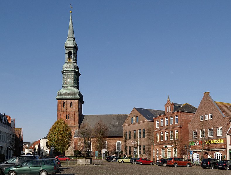
Deutsch: Tönning, Schleswig-Holstein, Markt |
| Data | |
| Font | Treball propi |
| Autor | smial |
 |
 Flexible licenses: Feel free to choose one of the free licenses stated below. Usage is free of charge, but this image is not in the public domain. If you would like special permission to use, or license this image please contact me to negotiate terms. Using online: For an example of reusing my images look at the right. It shows the name and a link to the used license. Using in printed media: Whether near the image or in a separate image directory, it should be specified: |
| Copyleft: Aquesta és una obra d'art lliure: Podeu redistribuir-la i modificar-la sota els termes de la Llicència d'Art Lliure. Trobareu una còpia d'aquesta llicència al web Copyleft Attitude, així com en altres llocs web. |

|
S'autoritza la còpia, la distribució i la modificació d'aquest document sota els termes de la llicència de documentació lliure GNU versió 1.2, publicada per la Free Software Foundation; sense seccions invariants, ni textos de portada, ni textos de contraportada. S'inclou una còpia d'aquesta llicència en la secció titulada GNU Free Documentation License. | 1.2 només |
Historial del fitxer
Cliqueu una data/hora per veure el fitxer tal com era aleshores.
| Data/hora | Miniatura | Dimensions | Usuari/a | Comentari | |
|---|---|---|---|---|---|
| actual | 00:59, 7 gen 2009 | | 1.053 × 800 (290 Ko) | Smial | {{Information |Description={{de|Tönning, Schleswig-Holstein, Markt}} |Source=own work |Date=2008-10-25 |Author=smial |Permission=Smial GFDL 1.2 & CC-BY-SA-NC |other_versions= }} {{User:Smial/Lizenz}} [[Category:Files by User:Smial from d |
Ús del fitxer
La pàgina següent utilitza aquest fitxer:
Ús global del fitxer
Utilització d'aquest fitxer en altres wikis:
- Utilització a ar.wikipedia.org
- Utilització a ceb.wikipedia.org
- Utilització a ce.wikipedia.org
- Utilització a de.wikipedia.org
- Utilització a de.wikivoyage.org
- Utilització a en.wikivoyage.org
- Utilització a es.wikipedia.org
- Utilització a eu.wikipedia.org
- Utilització a he.wikipedia.org
- Utilització a hu.wikipedia.org
- Utilització a ku.wikipedia.org
- Utilització a nl.wikipedia.org
- Utilització a nn.wikipedia.org
- Utilització a no.wikipedia.org
- Utilització a pl.wikipedia.org
- Utilització a ro.wikipedia.org
- Utilització a ru.wikipedia.org
- Utilització a sr.wikipedia.org
- Utilització a tt.wikipedia.org
- Utilització a uz.wikipedia.org
- Utilització a www.wikidata.org