
Fitxer:UNIFIL DEPLOYMENT August 2010.jpg

Fitxer original (2.528 × 1.952 píxels, mida del fitxer: 990 Ko, tipus MIME: image/jpeg)
| Aquest fitxer i la informació mostrada a continuació provenen del dipòsit multimèdia lliure Wikimedia Commons. |
| Descripció |
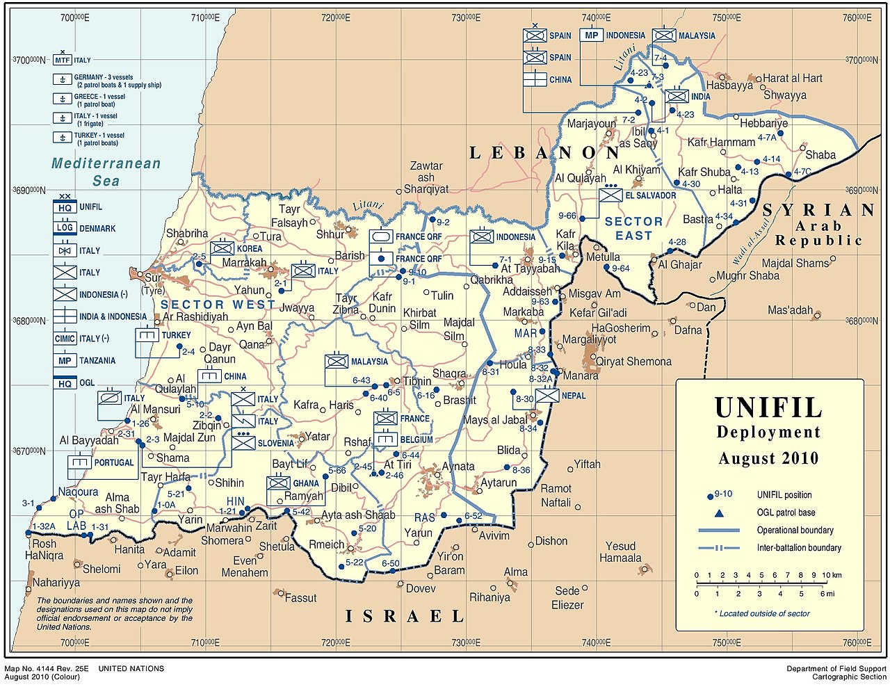
English: United Nations Interim Force in Lebanon (UNIFIL) deployment, August 2010 |
|||
| Data | ||||
| Font |
English: Department of Field Support Cartographic Section, United Nations |
|||
| Autor | United Nations Cartographic Section. | |||
| Permís (Com reutilitzar aquest fitxer) |
English: Publication permissions for UN maps:
|

Registre original de càrregues
The original description page was on en.wikipedia (file log). All following user names refer to en.wikipedia.
- 01:18, 13 September 2010 (UTC) AgadaUrbanit 3,300×2,550 (1.1 MB) (Department of Field Support Cartographic Section, United Nations UNIFIL DEPLOYMENT August 2010 http://www.un.org/Depts/Cartographic/map/dpko/unifil.pdf - Publication permissions for UN maps Please read the rules for using UN maps in your publicat)
Historial del fitxer
Cliqueu una data/hora per veure el fitxer tal com era aleshores.
| Data/hora | Miniatura | Dimensions | Usuari/a | Comentari | |
|---|---|---|---|---|---|
| actual | 19:51, 29 gen 2021 | | 2.528 × 1.952 (990 Ko) | User-duck | Cropped 23 % horizontally, 23 % vertically using CropTool with lossless mode. |
| 14:46, 27 feb 2011 |  | 3.300 × 2.550 (1,1 Mo) | Kjetil r | {{Information |Description=Department of Field Support Cartographic Section, United Nations UNIFIL DEPLOYMENT August 2010 |Source=http://www.un.org/Depts/Cartographic/map/dpko/unifil.pdf (via en:File:UNIFIL DEPLOYMENT August 2010.jpg) |Date=2 |
Ús del fitxer
La pàgina següent utilitza aquest fitxer:
Ús global del fitxer
Utilització d'aquest fitxer en altres wikis:
- Utilització a www.wikidata.org