
Fitxer:Worldwind.png

Mida d'aquesta previsualització: 800 × 600 píxels. Altres resolucions: 320 × 240 píxels | 640 × 480 píxels | 1.024 × 768 píxels.
Fitxer original (1.024 × 768 píxels, mida del fitxer: 602 Ko, tipus MIME: image/png)
| Aquest fitxer i la informació mostrada a continuació provenen del dipòsit multimèdia lliure Wikimedia Commons. |
Resum
| Descripció |
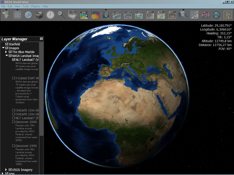
English: NASA World Wind - screenshot from version 1.4.0 showing Blue Marble Next Generation layer for June; with stars, atmosphere and sun shading enabled. |
| Data | |
| Font | Treball propi |
| Autor | User:M_k |
Llicència
| This image is in the public domain because it is a screenshot from NASA’s globe software World Wind using a public domain layer, such as Blue Marble, MODIS, Landsat, SRTM, USGS or GLOBE.
|
 |
Historial del fitxer
Cliqueu una data/hora per veure el fitxer tal com era aleshores.
| Data/hora | Miniatura | Dimensions | Usuari/a | Comentari | |
|---|---|---|---|---|---|
| actual | 23:15, 10 juny 2007 | | 1.024 × 768 (602 Ko) | M k | |
| 13:26, 8 juny 2007 |  | 1.000 × 660 (472 Ko) | Ljfa-ag | ||
| 21:26, 13 feb 2007 |  | 1.024 × 768 (797 Ko) | M k | ||
| 22:21, 8 maig 2006 |  | 1.024 × 768 (644 Ko) | M k | NASA World Wind {{PD-WorldWind}} |
Ús del fitxer
Les 2 pàgines següents utilitzen aquest fitxer:
Ús global del fitxer
Utilització d'aquest fitxer en altres wikis:
- Utilització a ar.wikipedia.org
- Utilització a as.wikipedia.org
- Utilització a az.wikipedia.org
- Utilització a bh.wikipedia.org
- Utilització a bn.wikipedia.org
- Utilització a cs.wikipedia.org
- Utilització a da.wikipedia.org
- Utilització a de.wikipedia.org
- Utilització a el.wikipedia.org
- Utilització a en.wikipedia.org
- NASA WorldWind
- Geoinformatics
- Virtual globe
- Portal:Maps/Selected picture
- Portal:Maps/Selected article
- Web mapping
- Portal:Maps/Selected article/6
- User talk:L'Aquatique/Archive 2
- User talk:Fox/May 2008
- User talk:RyanCross/Archive 14
- User talk:AstroHurricane001/Archive 21
- Geography
- Quantitative geography
- User talk:Sharkface217/Archive7
- Portal:Maps/Selected picture/55
- Portal:Maps
- Technical geography
- User:OrdinaryGiraffe/Books/Vital/L2/A
- Utilització a es.wikipedia.org
- Utilització a fa.wikipedia.org
- Utilització a fr.wikipedia.org
- Utilització a fr.wikiversity.org
- Utilització a hi.wikipedia.org
- Utilització a hu.wikipedia.org
- Utilització a id.wikipedia.org
- Utilització a it.wikipedia.org
- Utilització a ja.wikipedia.org
Vegeu més usos globals d'aquest fitxer.